The Problem with Greenland
By Angie Cope
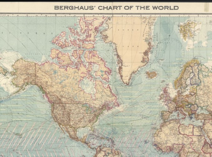
Most people are familiar with Greenland as seen on a map using the Mercator projection and that’s a problem. Of course, Greenland is large, but the Mercator projection exaggerates landmasses near the poles, making Greenland look comparable to Africa when it’s actually much smaller.
Projection is the mathematical method to display the surface of a round sphere on a flat 2D surface.
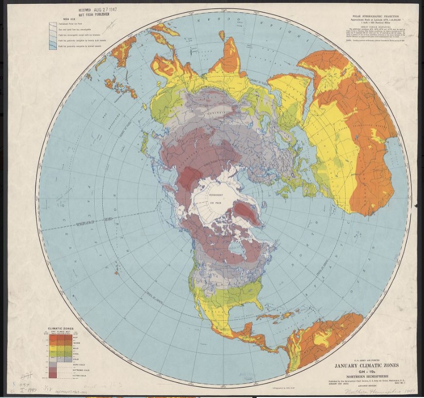
These two maps below use the Polar Stereographic Projection to more accurately demonstrate the relative size of Greenland compared to the rest of the world.
Greenland is the world’s largest island, covering about 836,000 square miles (2.17 million sq km), making it larger than France, Germany, Spain, and the UK combined, but it appears much bigger on standard Mercator projection maps due to distortion. It’s roughly three times the size of Texas, with about 80% of the island covered by a massive ice cap.
Problem solved?
