Chicago
Nixon’s Chicago Loop Parade 1972
Curtis Wright Maps recently gifted this broadside to the AGSL showing President Nixon’s re-election event scheduled for October 30, 1972.
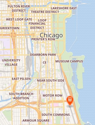
Richard Nixon and his wife Pat planned a re-election visit to the windy city that included bands, entertainment and a parade. An inset map on this broadside shows the route for the motorcade on La Salle Street.
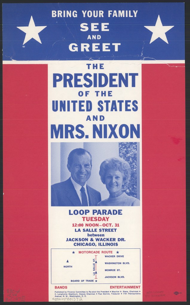
However, a day before the event was scheduled to take place, a morning rush hour commuter train crash killed 44 people and left 332 injured. Nixon cancelled the event and sent his Secretary of Transportation John A. Volpe to Chicago to guide relief efforts.
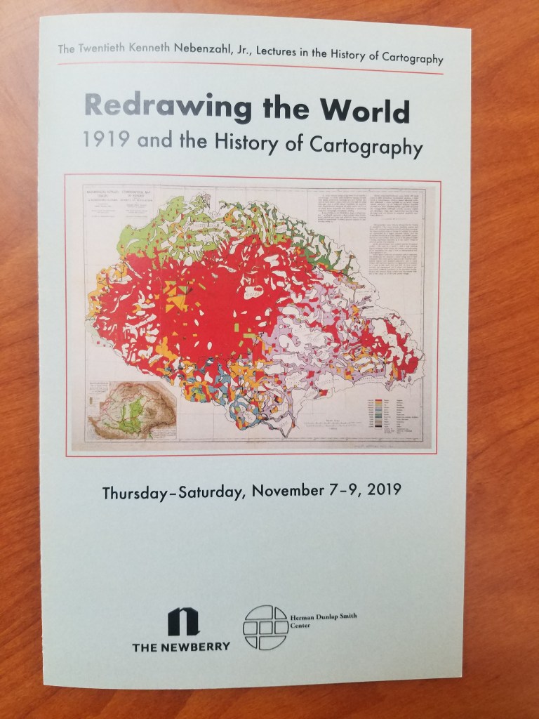
20th Nebenzahl Lectures: The AGSL Goes to Chicago
By Lauren Maddox
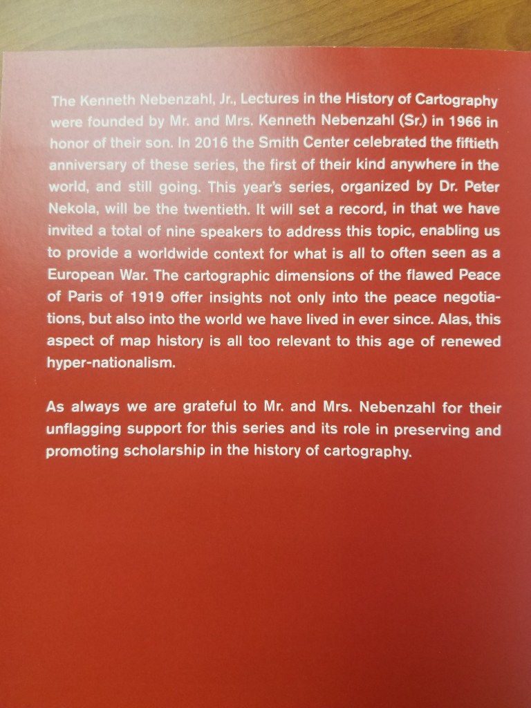
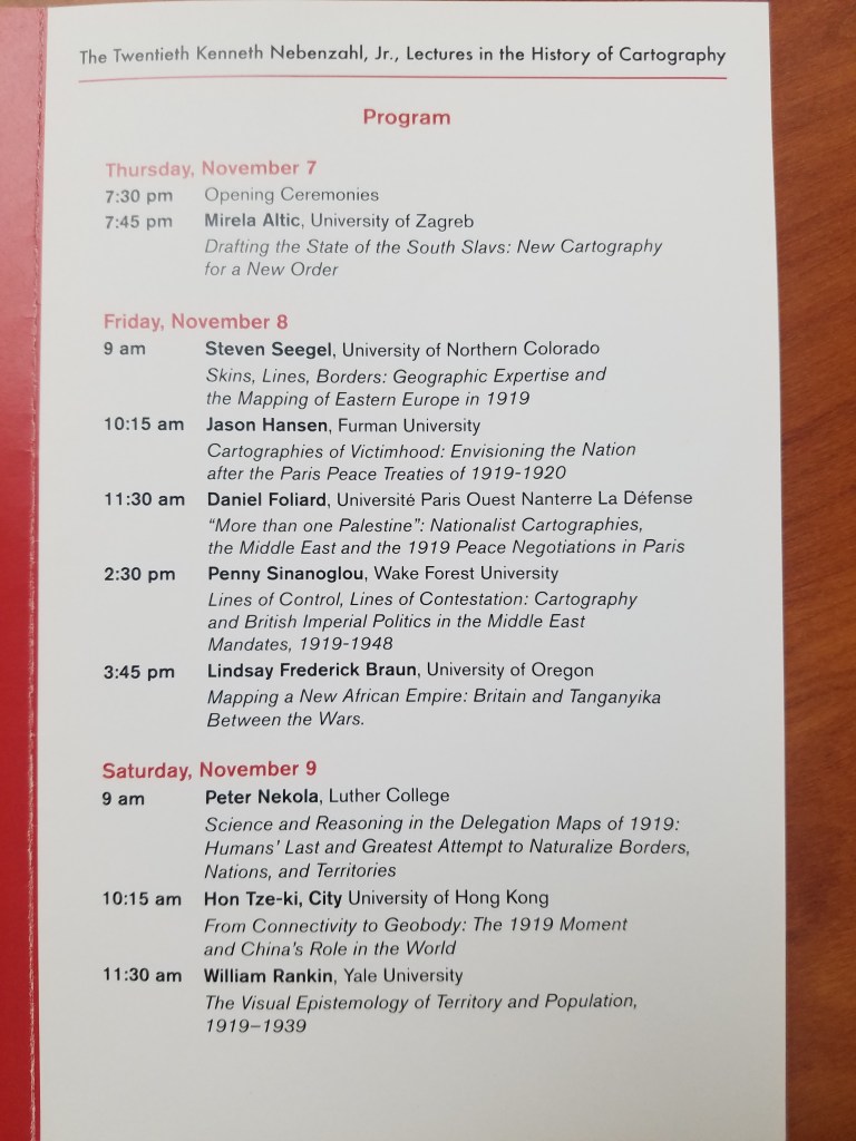
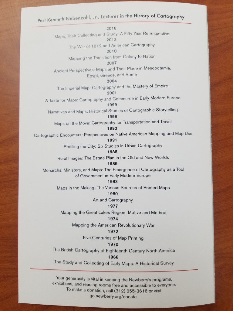
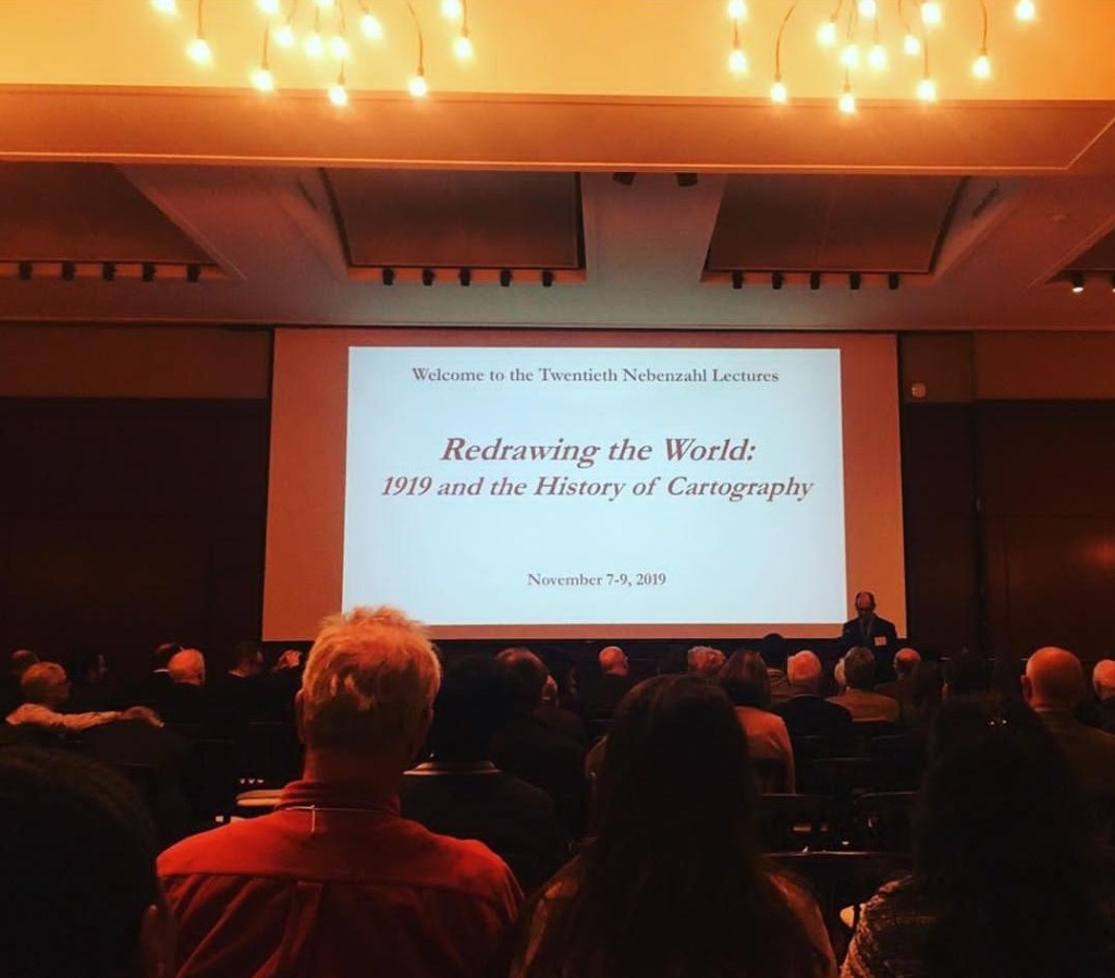
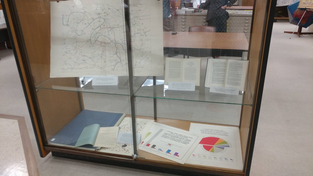
Last weekend was the 20th Nebenzahl Lectures that are held every few years at the Newberry Library in Chicago. The 2019 year’s theme was “Redrawing the World: 1919 and the History of Cartography”– which, as you can imagine, was a very exciting topic for staff at the AGSL. The lectures were held over three days and featured 9 different scholars including organizer Dr. Peter Nekola.
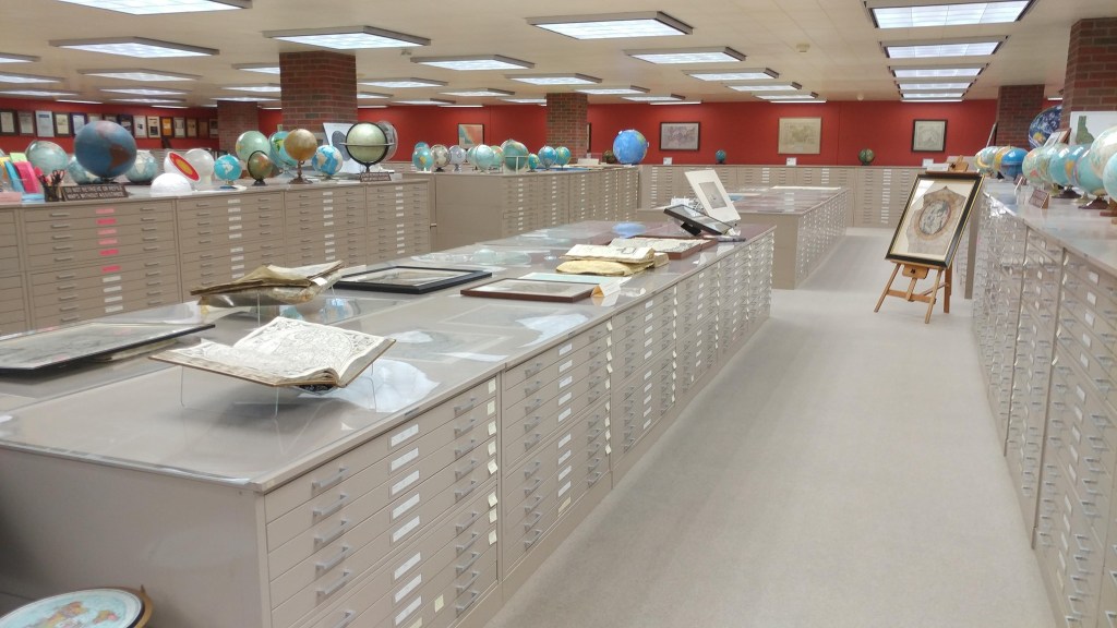
On Thursday, attendees visited the AGS Library and enjoyed a presentation by Curator, Marcy Bidney and viewing an exhibit highlighting the role of the AGS at the Paris Peace Conference following WWI. Besides providing thousands of maps, atlases, books and nautical charts from the AGS Library, which were shipped to France for use by the American delegation, the AGS building and its staff were involved in the work of the so-called “Inquiry” which preceded the actual Conference. Starting in November 1917, a team of geographers, historians, regional experts and cartographers worked in secret at the AGS headquarters building, drawing on the library’s vast resources to produce reports and maps for the American negotiators to use at the Peace Conference.
Many of the presenters at the conference, referenced resources held at the AGS Library and used in their research.
AGSL staff: Marcy Bidney, Curator ; Jovanka Ristic, Reference Librarian ; and student interns Georgia Brown and Katie Bischof attended the Lectures in Chicago. The Lectures focused on the 1919 map production boom and how cartographers helped forge the uneasy peace at the Paris Peace Treaties. Particular topics included “Mapping a New African Empire: Britain and Tanganyika Between the Wars” presented by Lindsay Frederick Braun and “Cartographies of Victimhood: Envisioning the Nation after the Paris Peace Treaties of 1919-1920” presented by Jason Hansen. The Lectures were an exciting reason to visit Chicago and the AGSL was proud to participate.


1927 Chicago Tribune Map of Chicagoland
by Judy Aulik
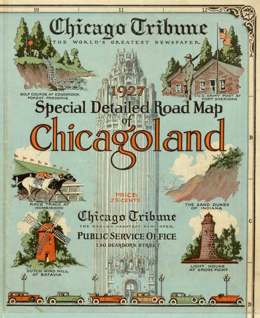
The Milwaukee Journal was not the only Midwestern newspaper giant to publish road maps. But unlike the Journal, the Chicago Tribune still has maps produced in its behalf, albeit by Rand McNally. The folding style of Chicagoland map was a mainstay of Illinois drivers for many years. It developed some delightful idiosyncrasies, such as the locations of radio broadcast transmitter towers, but at this early date, the “Trib map,” as called by residents, only showed some colleges, religious institutions, cemeteries, parks, and golf courses as landmarks and destinations. In addition, on this 1927 edition, US highways were designated by the route number in a red circle, instead of the shields used by the Rand McNally portion.
What is noticeable is the number of communities which have ceased to exist. Northeastern Illinois is notable for the number of communities denoted by the railroad stations on the major lines, spaced at fairly regular intervals. For example, on the C.B.&Q. (now the BNSF, or Burlington Northern & Santa Fe) were communities such as Belmont, now part of Downers Grove; Eola, now part of Aurora; and Lovedale, no longer extant.
Communities located on highways were not immune. On Roosevelt Road, once US 30A and today IL 38, was York Center, still denoted by churches but incorporated into Lombard. On Butterfield Road, parts of which have become IL 56, was Utopia, which is today’s Oakbrook Terrace, famous for its vast stretches of shopping malls.
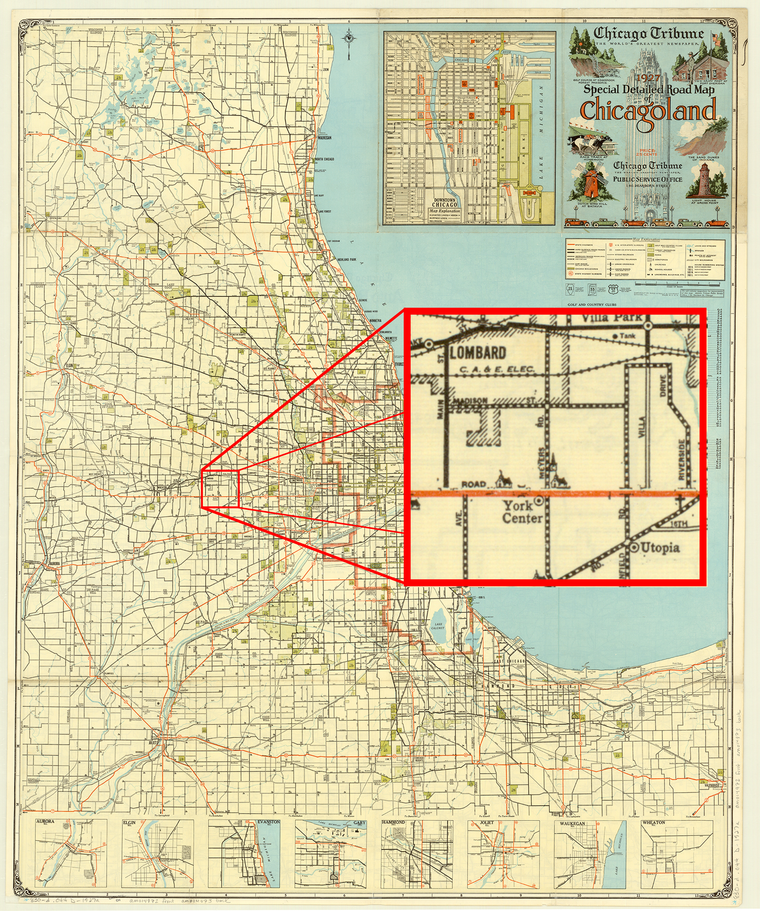
Interestingly, the reverse, a map of the states contiguous with Lake Michigan, shows us that the Tribune‘s relationship with the Chicago map giant dates back to the earliest map of the series. “Rand McNally” above “Auto Road Map” is replaced by “Chicago Tribune: The World’s Greatest Newspaper,” but with the characteristic compass rose, cartography, and copyright statement, no one would be fooled. In addition, I have a 1927 Illinois map, issued by the Tribune, but published by Rand McNally.
From a collector’s standpoint, the Chicagoland maps are common, but very difficult to find in acceptable condition. The vast majority are misfolded, heavily worn, and many are taped together, proof of the maps’ popularity. Probably due to the growth of the region–the Tribune maps did not show land beyond the Fox River–the Chicagoland map ceased publication sometime in the 1990s, with one last 2000 map. Even today, I carry a Tribune/Rand McNally 7-county street guide in my car when traveling, despite GPS. It lacks the charm of the old maps, but still gets the job done–until the next round of highway construction.

View the map in the AGS Library Digital Map Collection here
