Angie Cope
Albert Gallatin Maps in the AGS Library Collection
by Angie Cope
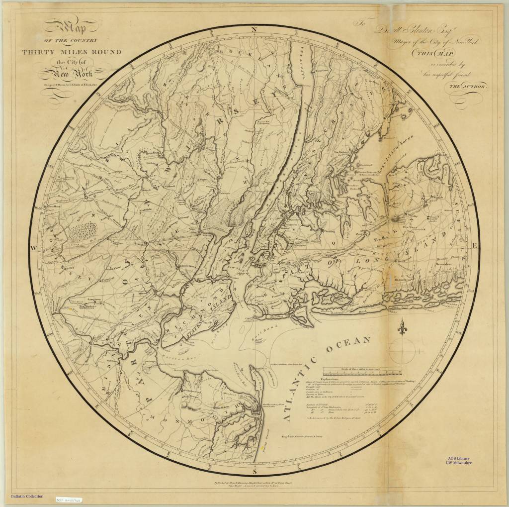
The AGS Library has nearly 40 maps from the personal collection of Albert Gallatin (1761-1849) who served as the Secretary of the Treasury under both Presidents Thomas Jefferson and James Madison between 1801 and 1814.
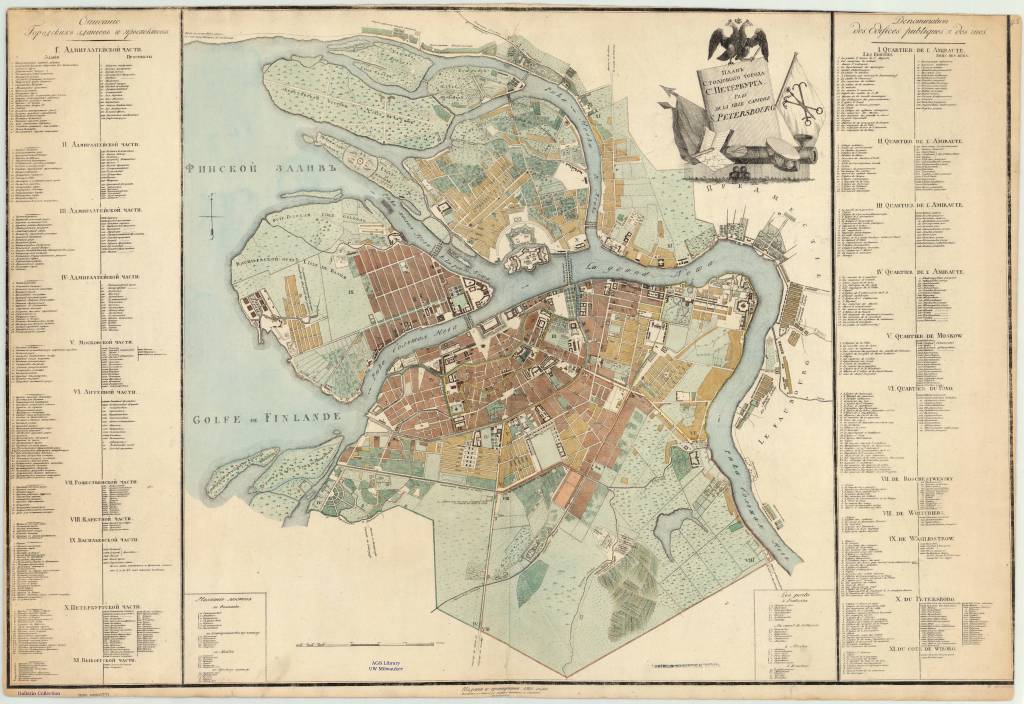
Plan stolichnago goroda St. Petersberg = Plan de la ville capitale S. Petersbourg 1810
The maps were given to the American Geographical Society of New York in 1919 by Gallatin’s great grandson, Albert Eugene Gallatin (1882-1952) who served on the AGS Council in 1913.
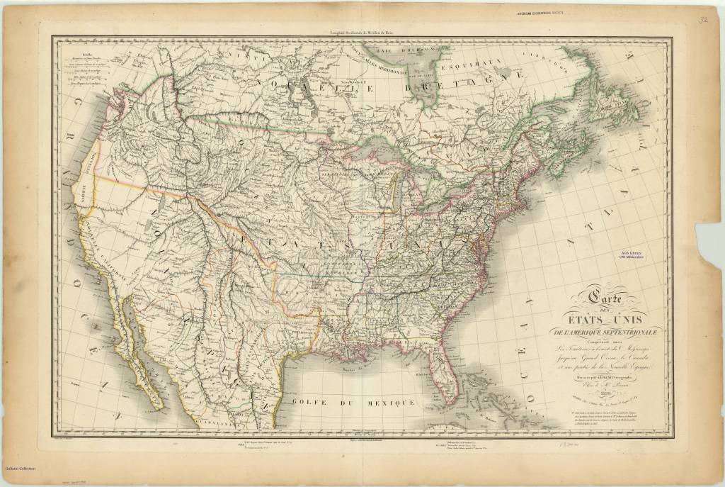
Carte des États-Unis de l’Amérique septentrionale 1820
The maps, spanning the years 1700 to 1842, were originally bound as an atlas factice entitled “Atlas generale,” but have been disbound and conserved by the AGS Library at UW Milwaukee Libraries.
WWII Road Map Censorship in the United States
by Angie Cope
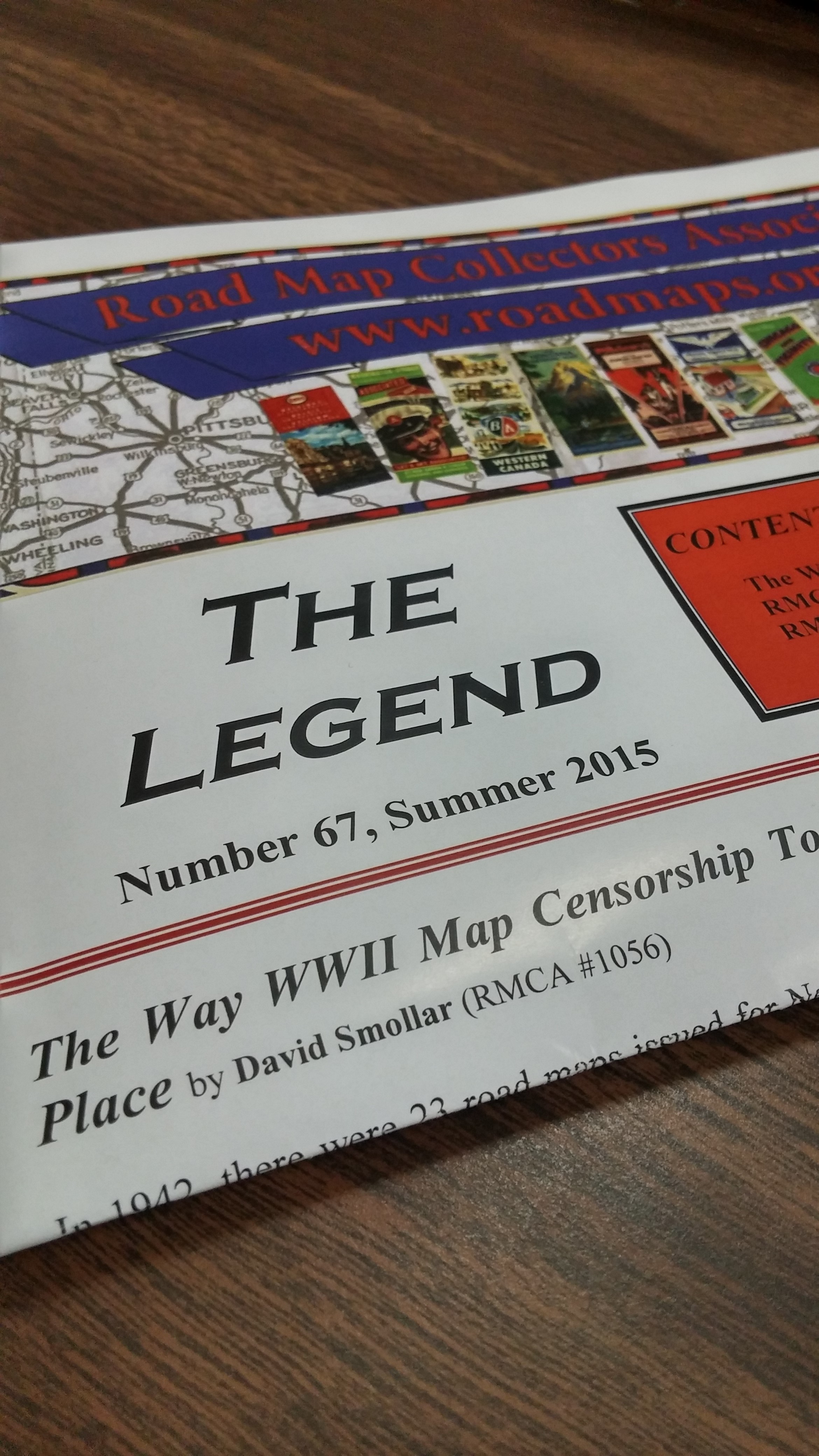 I enjoyed reading David Smollar’s article on road map censorship during World War II in the latest issue of “The Legend,” the newsletter of the Road Map Collectors Association. Map makers H.M. Gousha, General Drafting Company and Rand McNally worked with the U.S. Government to eliminate features of strategic importance from their maps.
Called “wartime masking,” the removal of features such as airports, military and war-related industrial targets occurred on maps from 1942 and 1943.
Whenever I read articles that point out interesting features of maps, I’m always curious to see them for myself. It seems the American Geographical Society Library doesn’t have many road maps by these three publishers for the years 1942 or 1943. I did find a Los Angeles map by Gousha and was able to compare the 1940 with the 1942.
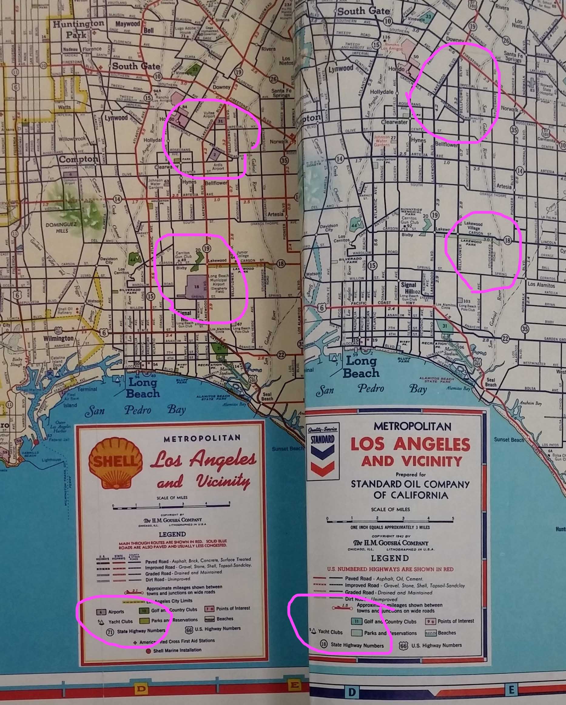
Airports were shown in purple on the 1940 map and masked on the 1942 map. Long Beach Municipal Airport (Daugherty Field) is shown in the top pink circles and Ardis Airport is shown in the pink circles at the bottom on the 1940 map (at the left). Even the map key is edited or masked, removing the purple symbol for the airport on the 1942 map.
Soller’s article is a very interesting read citing extensive research at the Newberry Library, the National Archives and the Library of Congress. I highly recommend reading the Summer 2015 issue of “The Legend.” Information about the Road Map Collectors Association can be found here: http://roadmaps.org/
