U.S. Army Map Service
The most boring map in the world
By Angie Cope
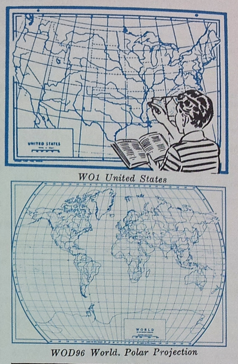
By far, the most boring map in the world has got to be the outline map. Think about it … No pictures to look at, no text to read, no tables of data to substantiate the map. Just lines on a piece of paper.
The outline map is so boring that there is nothing written about it. I spent 15 minutes looking through geographic dictionaries, encyclopedias, cartography books, books on maps and map history and not one book gave a definition of an outline map or even a small mention.
What is there to say about the most boring maps in the world? Well, I have often said it that even the most boring map has an interesting story to tell and this is true even of the outline map.
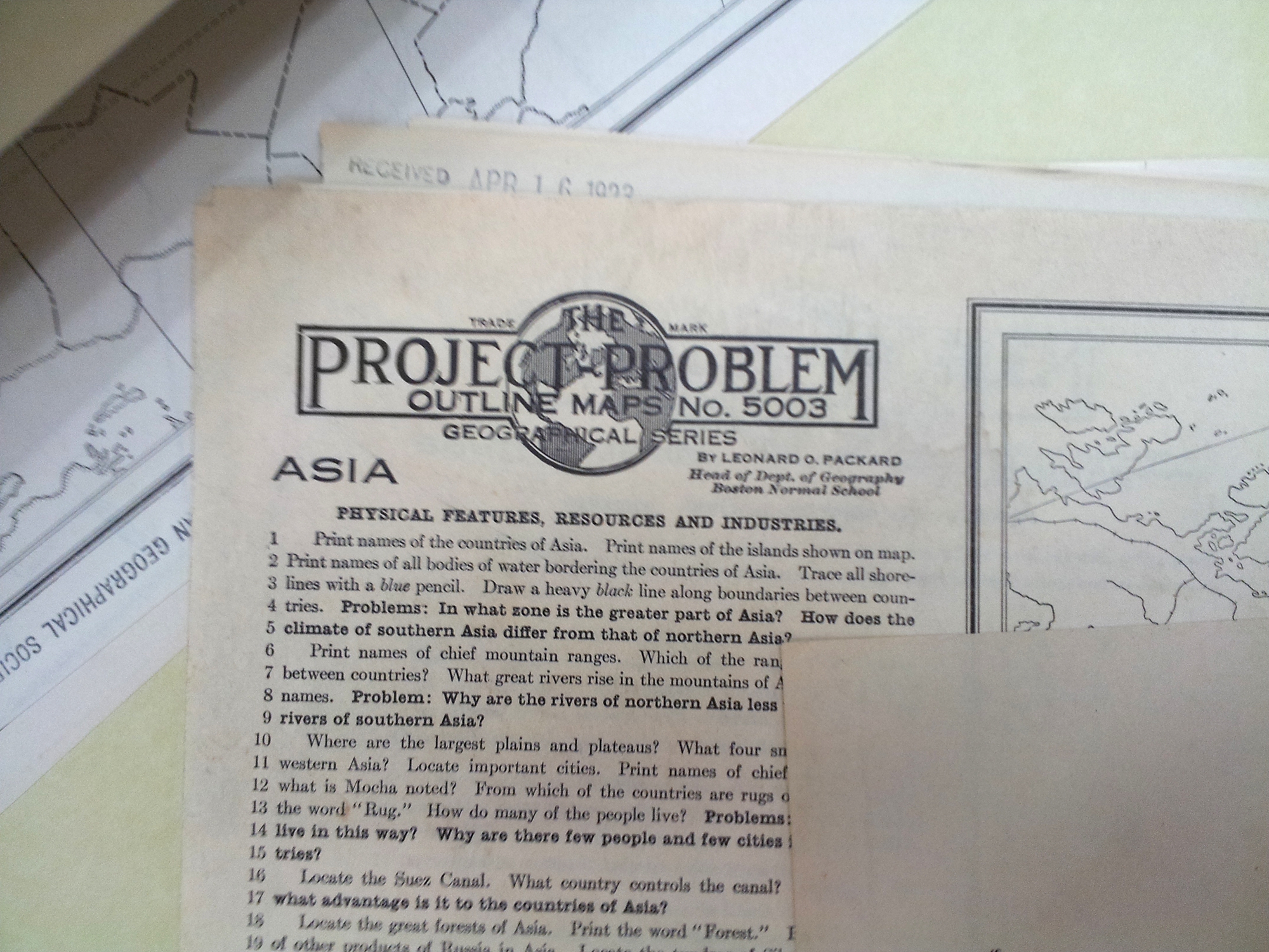
The outline map has been and continues to be the main stay of geographic education. Every student in the United States has been given many outline maps and told to identify boundaries, rivers, capitals and more. Do a search online and there are hundreds and thousands of outline maps available. But still, very little written about them.
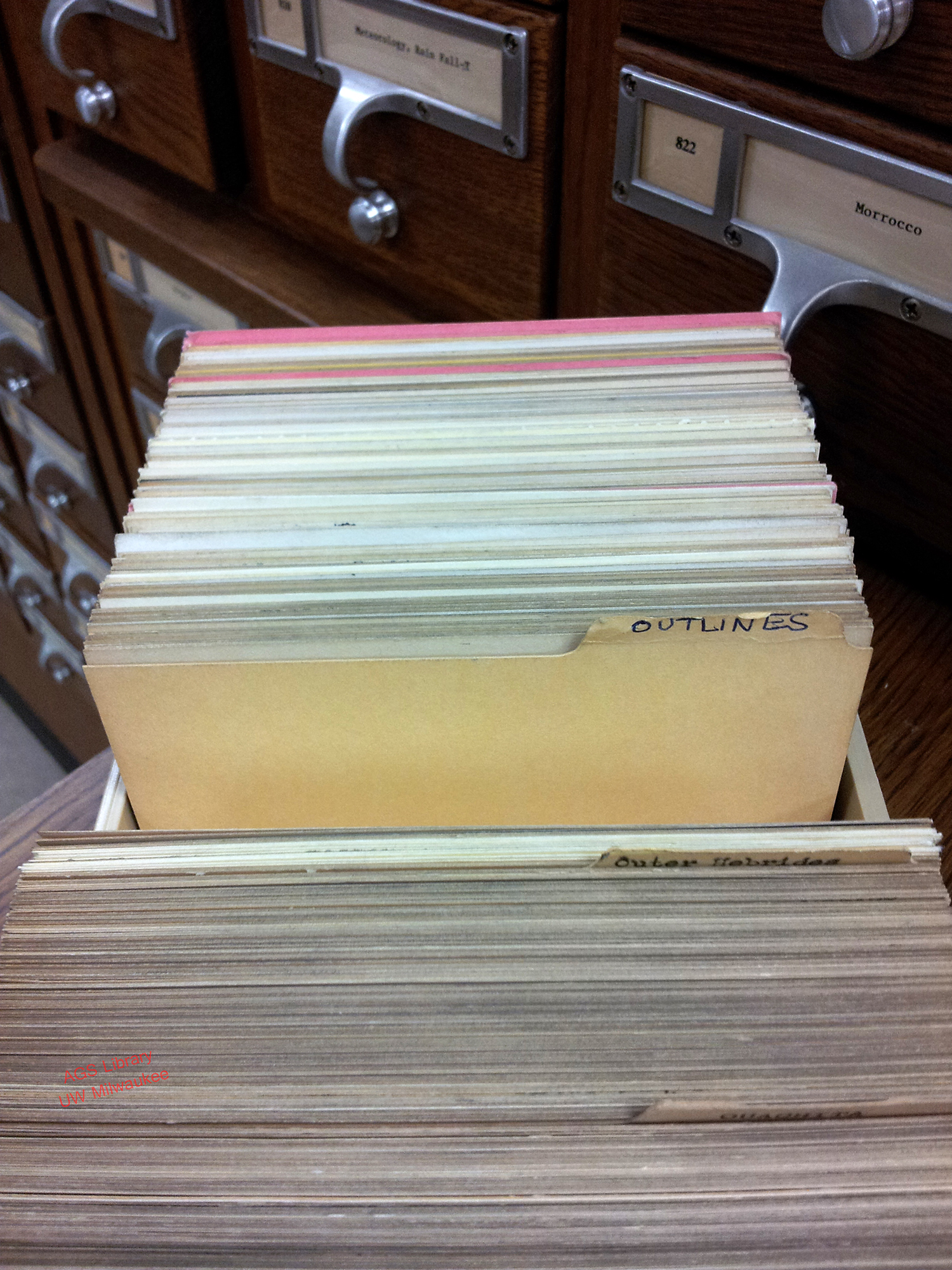
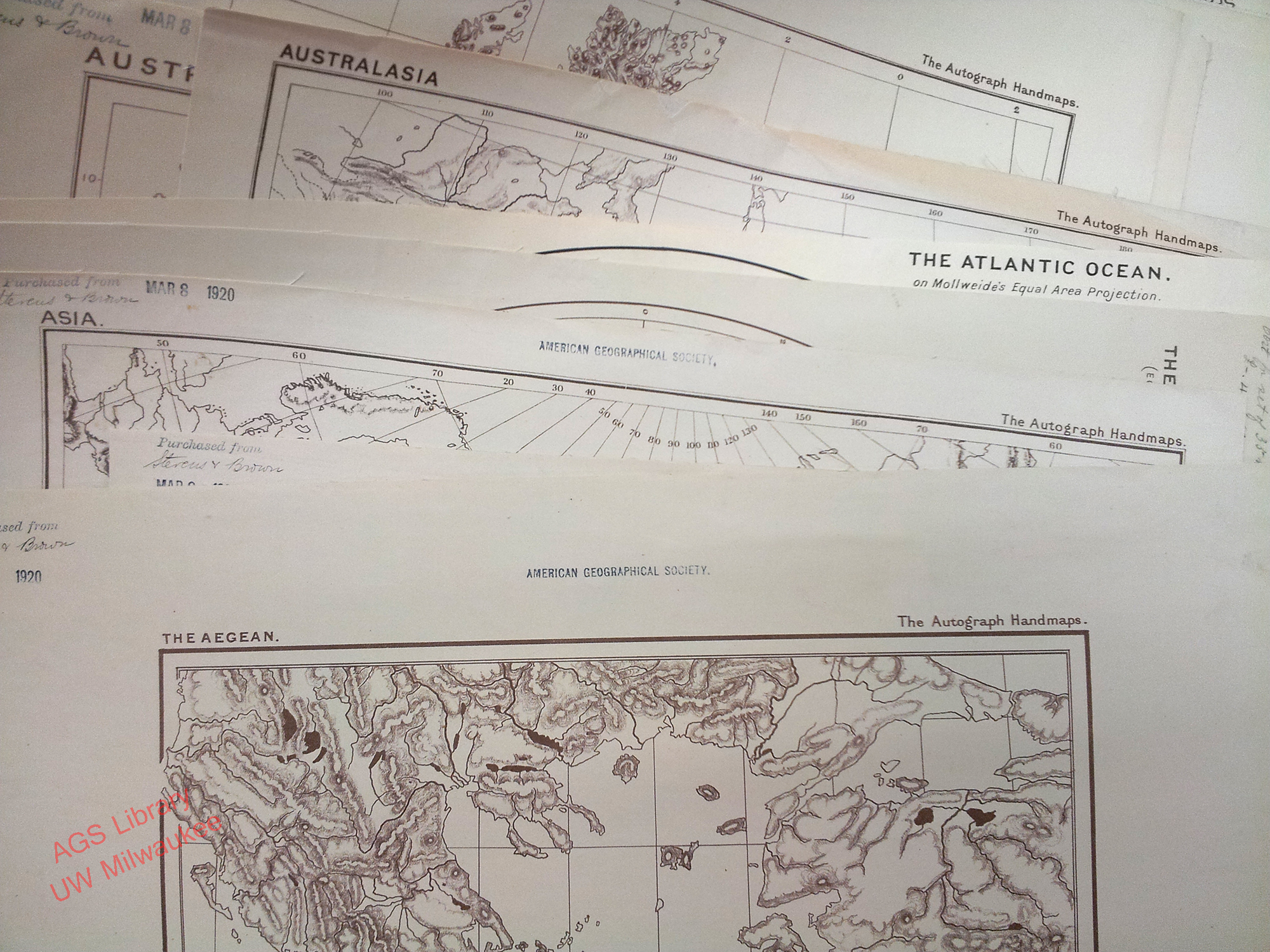
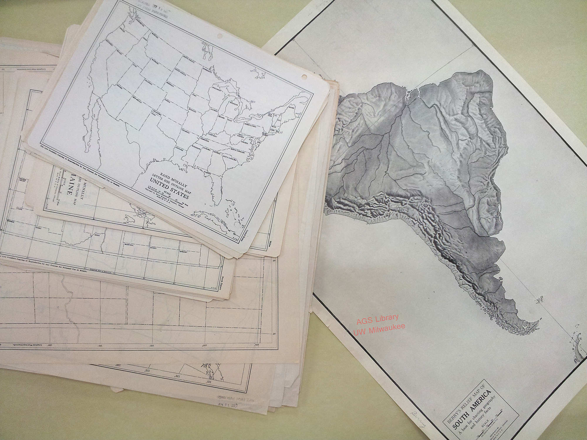
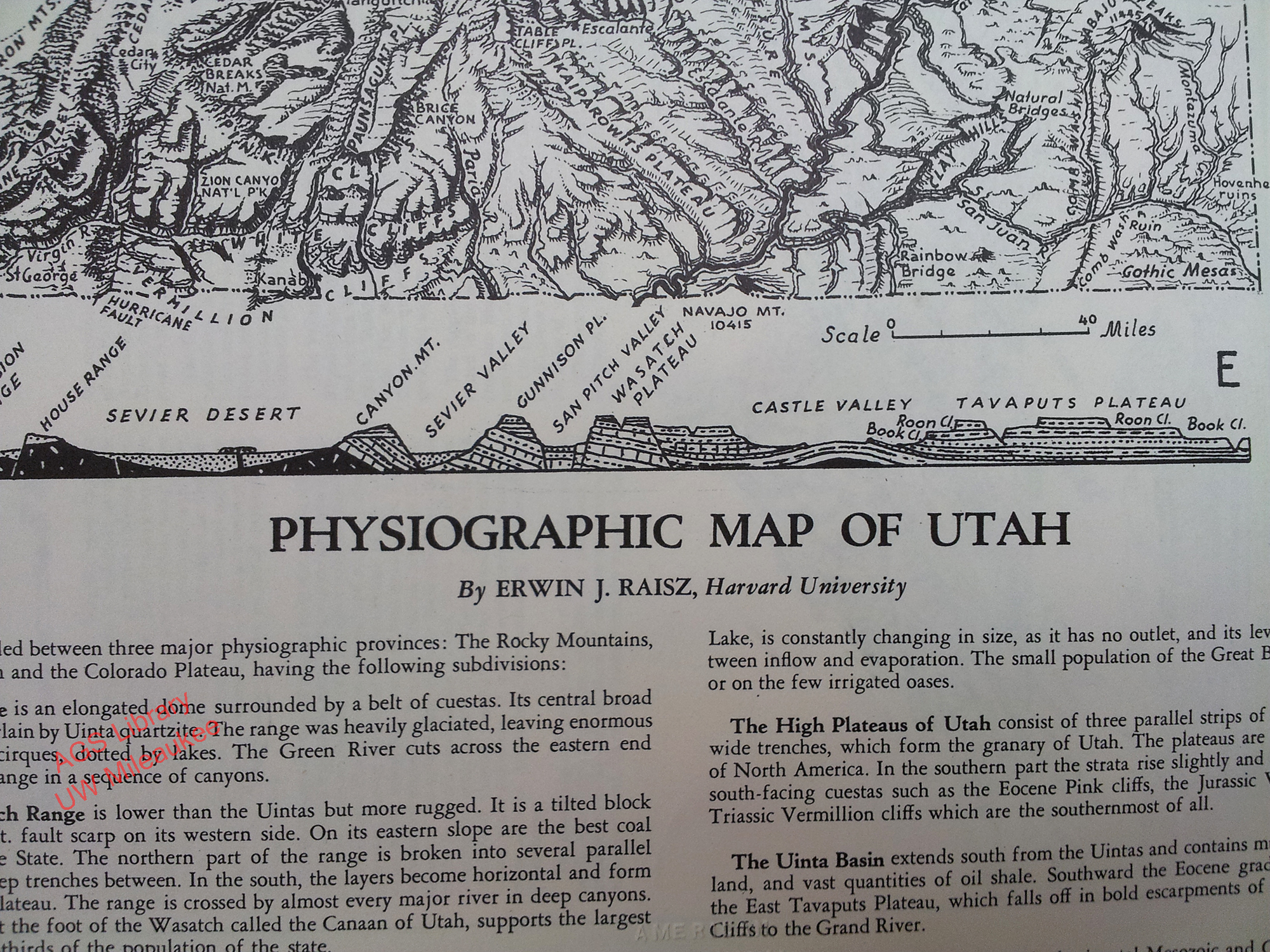
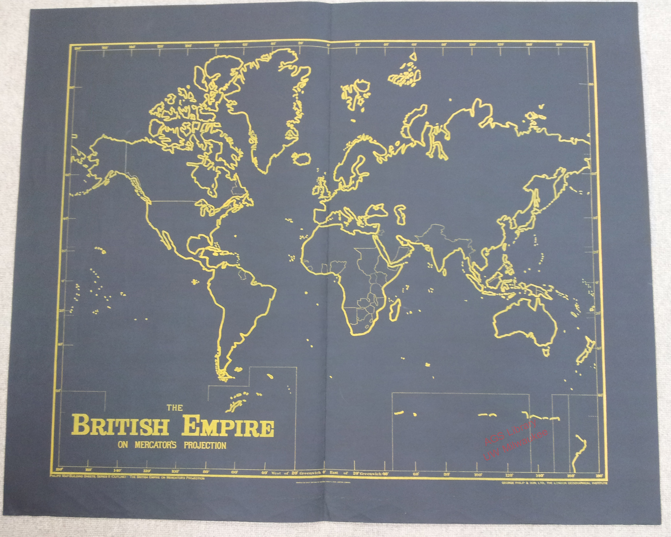
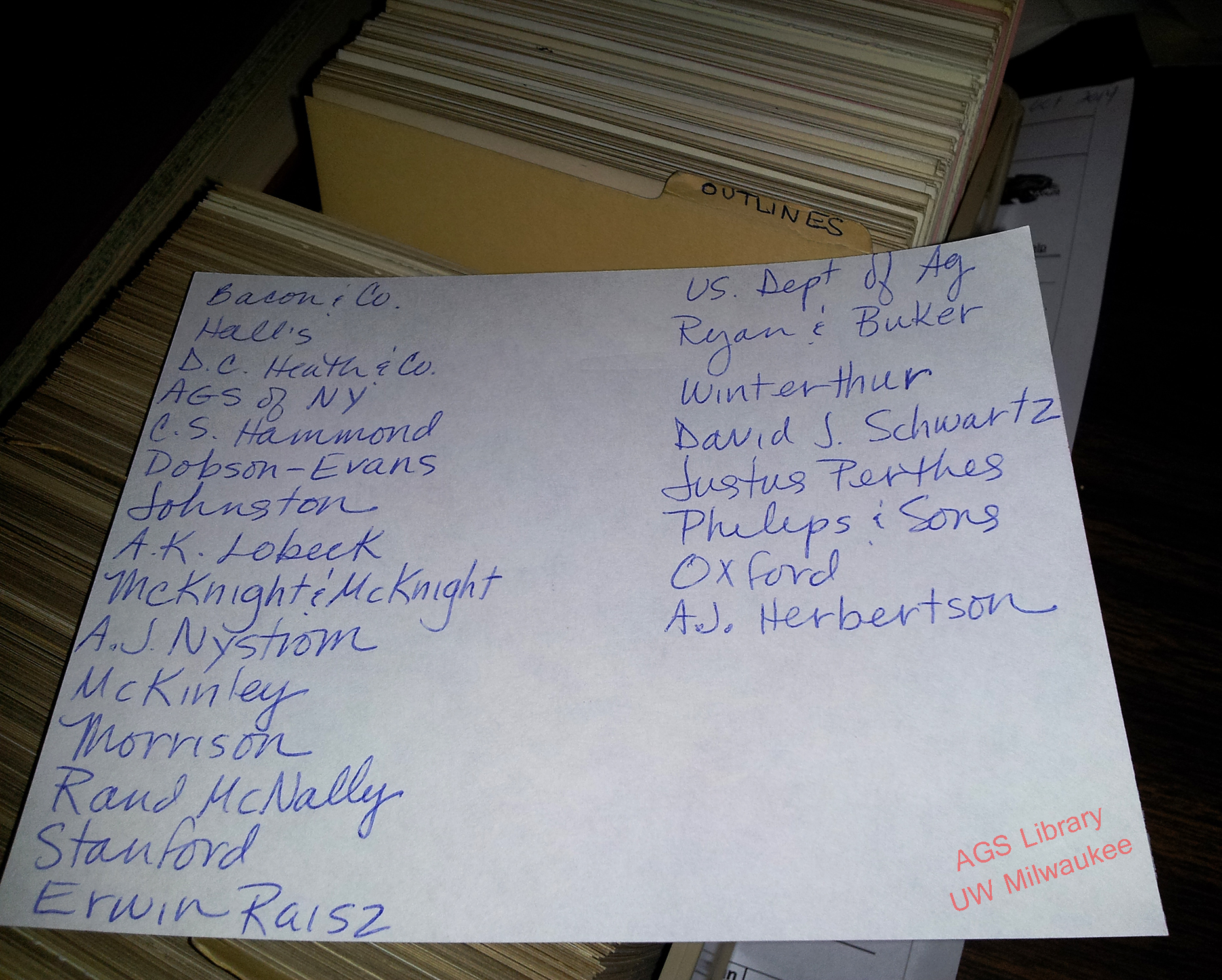
At the AGS Library, we have 9 drawers full of outline maps by publishers such as C.S. Hammond, Justus Perthes, George Philip & Sons, A.J. Nystrom, U.S. Army Map Service, the American Geographical Society of New York, Erwin Raisz and Edward Stanford to name a few.
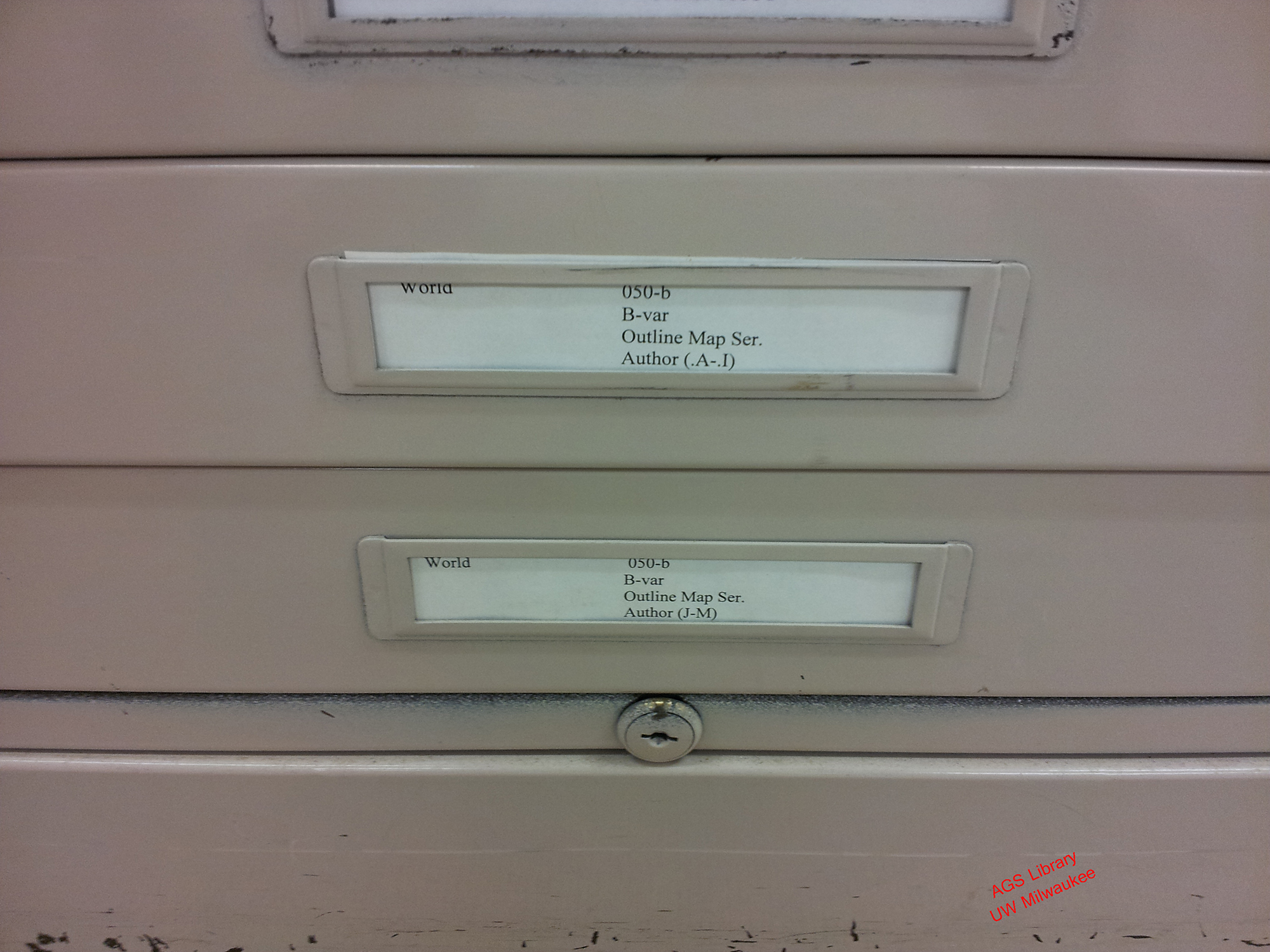
The AGS of New York had a strong tradition of supporting geographic education in the United States and the library reflects that tradition. There are 3 1/2 inches of card catalog cards devoted to the outline map …
______________________________________________________________________
As the inaugural blog for the AGS Library blog, I hope you haven’t been bored to death by boring maps. Every map holds a story – even the boring outline map. Check back for more blogs from the AGSL staff – hopefully less boring.
