albert gallatin
Albert Gallatin Maps in the AGS Library Collection
by Angie Cope
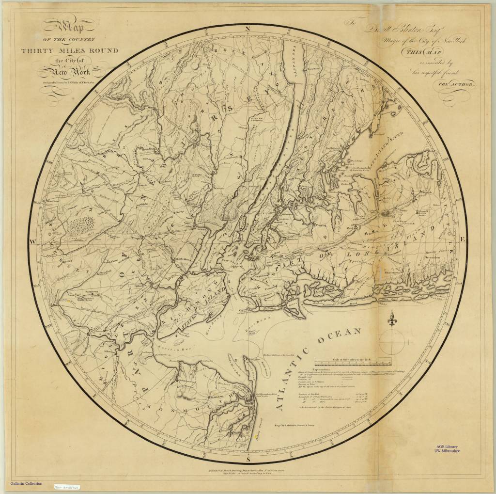
The AGS Library has nearly 40 maps from the personal collection of Albert Gallatin (1761-1849) who served as the Secretary of the Treasury under both Presidents Thomas Jefferson and James Madison between 1801 and 1814.
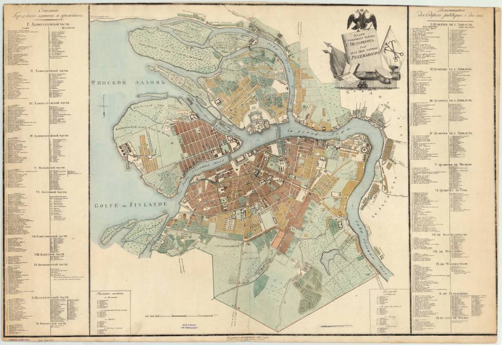
Plan stolichnago goroda St. Petersberg = Plan de la ville capitale S. Petersbourg 1810
The maps were given to the American Geographical Society of New York in 1919 by Gallatin’s great grandson, Albert Eugene Gallatin (1882-1952) who served on the AGS Council in 1913.
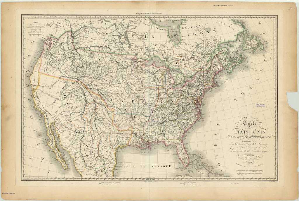
Carte des États-Unis de l’Amérique septentrionale 1820
The maps, spanning the years 1700 to 1842, were originally bound as an atlas factice entitled “Atlas generale,” but have been disbound and conserved by the AGS Library at UW Milwaukee Libraries.