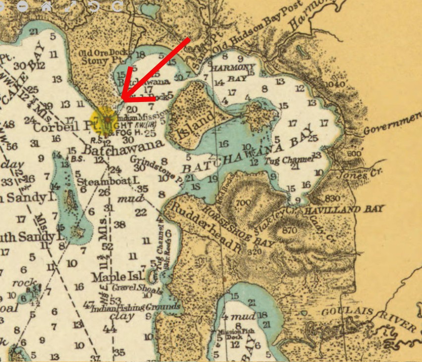
Corbeil Point Lighthouse, Batchawana Bay, Ontario
by Angie Cope
Batchawana Bay is located on the eastern shore of Lake Superior, roughly fifty kilometres north of Sault Ste. Marie.
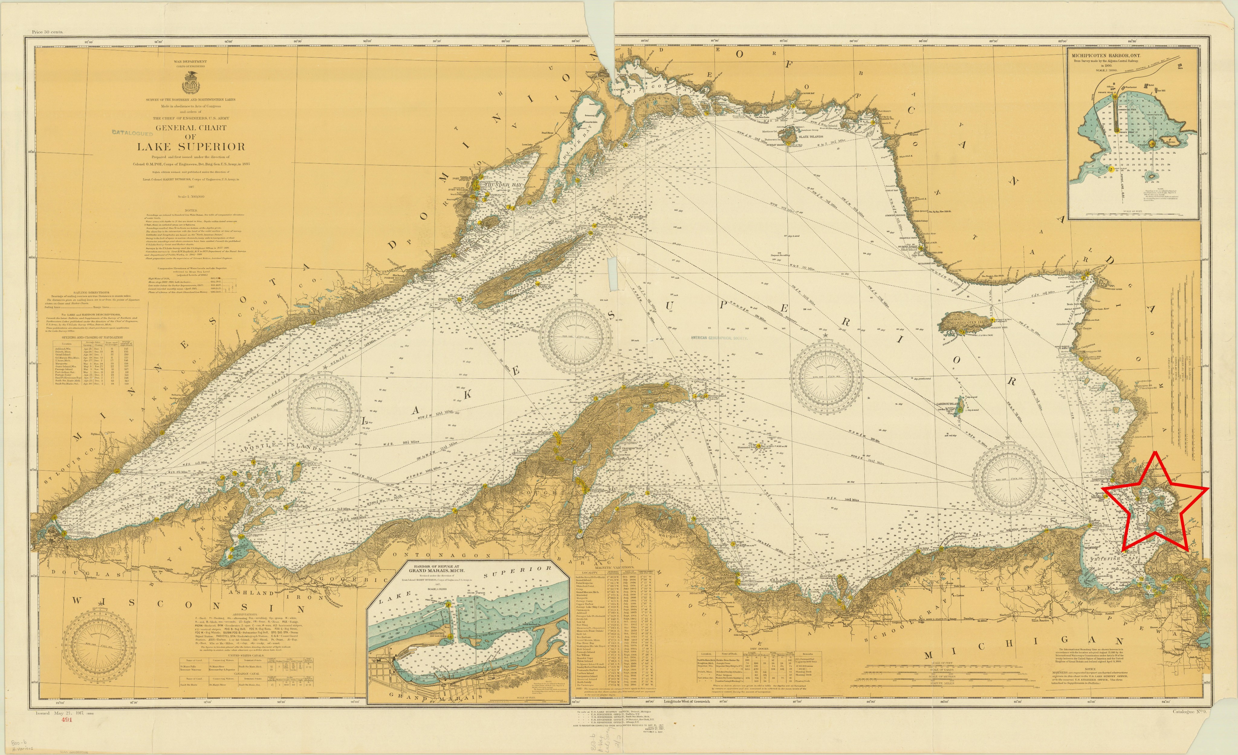
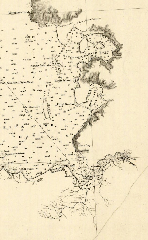
The name is derived from the Ojibwe “Badjiwanung” meaning “water that bubbles up,” describing the turbulent waters in the narrow passage between Sand Point and Batchawana Island. Batchawana Bay was an important fishing place for the Ojibwe and later for the Hudson’s Bay Company, which maintained an outpost and fishing station where Batchawana River enters the bay.
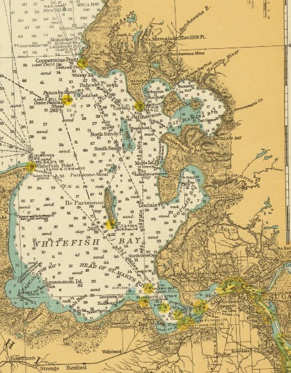
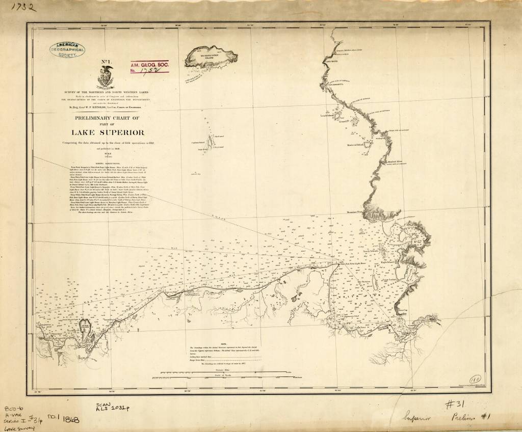
1868 map of Lake Superior
https://collections.lib.uwm.edu/digital/collection/agdm/id/1888/rec/35
The lighthouse was constructed in 1873 of wood and was frequently struck by lightning . In June 1931 a lightening strike burned the original lighthouse to the ground. The photo pictured here is dated 1932 and likely reflects the newly built lighthouse following that fire.
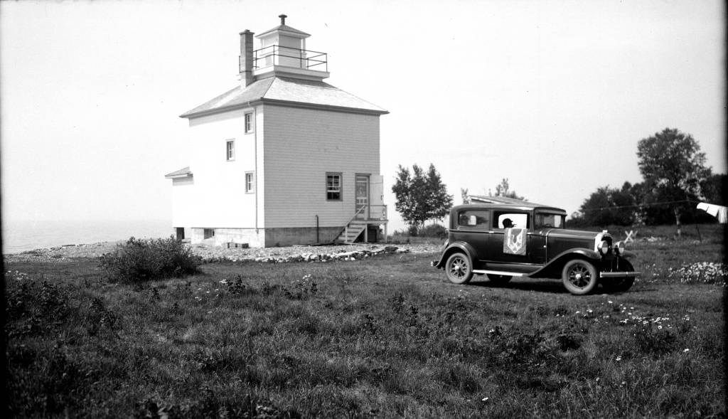
Photograph by Robert S. Platt
The lighthouse had keepers until 1955 when the the hand operated fog-horn was discontinued and lights became automated. The lighthouse was completely discontinued in 1962. Lighthouse keepers included the following men and their families: David Crawford (1873 – 1883), Andrew Crawford (1883 – 1890), Joseph Davieau (1890 – 1914), James Davieaux (1914 – 1915), William Reil (1915 – 1946), Henry D. Nolan (1946 – 1953), Franny Nolan (1953), Robert Collins (1953 – 1955).
Sources:
Information regarding the lighthouse was obtained from The Lighthouse Friends website: https://www.lighthousefriends.com/light.asp?ID=1552
Images used are from the American Geographical Society Library digital photograph and map collections
