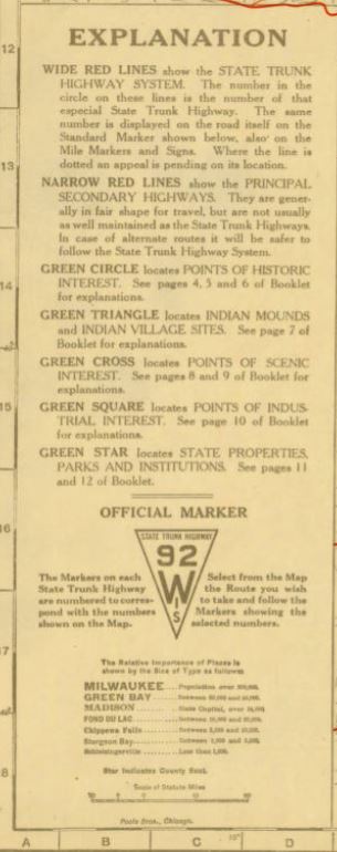
Pool Brothers
The Poole Brothers, Printers of Wisconsin’s Official Highway Maps
by Judy Aulik
Chicago is known for its “Printers’ Row,” an industrial street which housed several commercial printing firms, one of which was the Poole Brothers. Founder George A. Poole (1843-1916) was originally a partner of William H. Rand and Andrew McNally, but struck out on his own in 1870 along with his brother William. His grandson, George A. Poole III, led the family business after 1930, and was a noted book and manuscript collector.
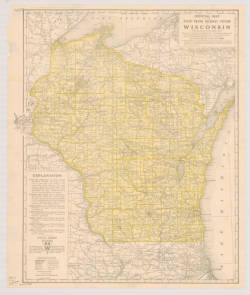
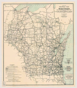
The Poole Brothers printed some exquisite panoramic view maps, which can be seen online on the Library of Congress site. However, they are best known for their railroad maps, but in the earliest years of road maps, many were overprinted onto a railroad map base. Skokie Historical Society, on its Skokie: A Community History Using Old Maps web page, comments on how these early road maps (1915) weren’t detailed enough to retrace street development and community development because of their railroad genesis. Despite these shortcomings, the State of Wisconsin chose the Chicago printers for its state highway maps in 1918 and 1924 (two maps below).
Possibly due to a flowery, ornate style seen on its railroad-commissioned work, Poole Brothers maps fell out of favor by the 1930s, except for those accompanying railroad timetables. Near the end of its existence, the firm passed through several corporate owners, including American Can Company. of favor by the 1930s, except for those accompanying railroad timetables. The printers kept afloat by printing journals and trade magazines. Near the end of its existence, the firm passed through several corporate owners, including American Can Company. Other interesting Poole Brothers maps in the AGS Library include Alaskan territorial gold field maps, plus:
• The 1914 C&NW Wisconsin and Michigan Hunting and Fishing Resorts map, featuring its railroads north of Antigo. 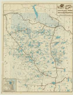
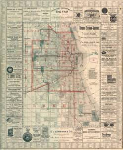
• The 1893 Chicago Evening Journal map of Chicago, showing Streets, Parks, Railroad Depots, Ward Boundaries, with Street Guide.