Creating a school wall map in 1913
This print shows three building views of Justus Perthes’ Geographische Anstalt in Gotha, Germany. The illustrations show the process used in the creation and printing of Justus Perthes school wall maps in 1913.
View this item in the AGS Library Digital Map Collection
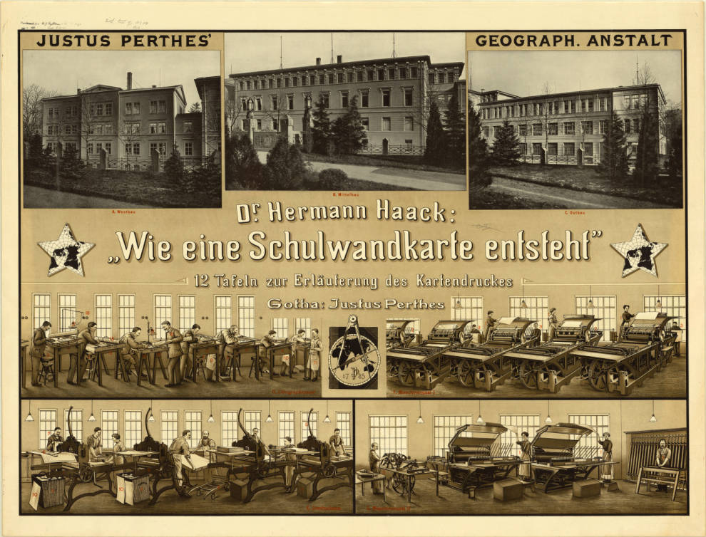
Points identified in red are indexed in: Wie eine Schulwandkarte entsteht : eine Führung durch die lithographischen Werkstätten von Justus Perthes’ Geographischer Anstalt / von Hermann Haack, 1913 (viewable here: http://uwm.edu/libraries/agsl/schulwandkarte/ )
