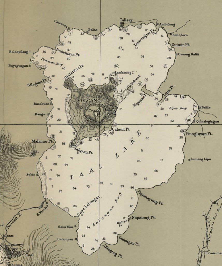
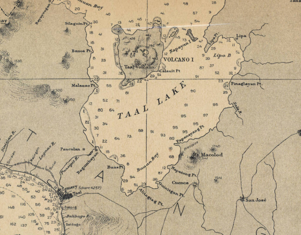
Taal Volcano, Philippines
by Angie Cope
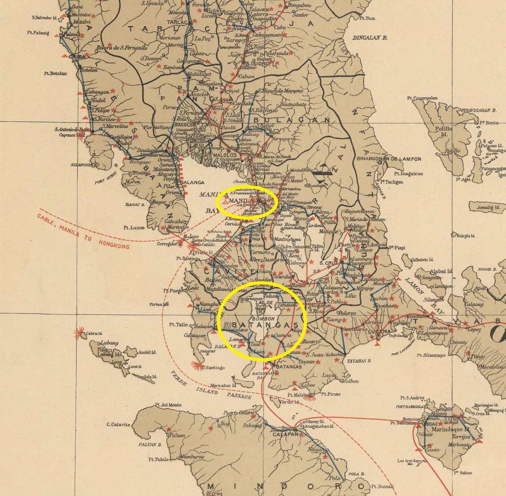
The Taal Volcano in the Philippines is about 37 miles (60 kilometers) south of the capital Manila on the island of Luzon. The volcano sent a plume of ash, steam and rock six to nine miles into the sky with a violent explosion on Sunday, January 12, 2020. The area remains on an alert level four out of five which means a “hazardous eruption” is immenent in a region which is heavily farmed and popular for tourism.
Scientists warned that new fissures were appearing in the ground, and about 50 earthquakes jolted the area in just eight hours on Tuesday, all signs that another, possibly larger eruption was coming.
Around 459,000 people reside within a danger zone with a 14-kilometer (8.7 miles) radius around the volcano, according to a map by the agency, while more than 930,000 people live in a wider 17-kilometer (10.5 miles) danger zone.
Taal has been spewing fountains of red hot lava half a mile high, sparking its own spectacular lightning storms and turning green, tropical vistas grey with ash.
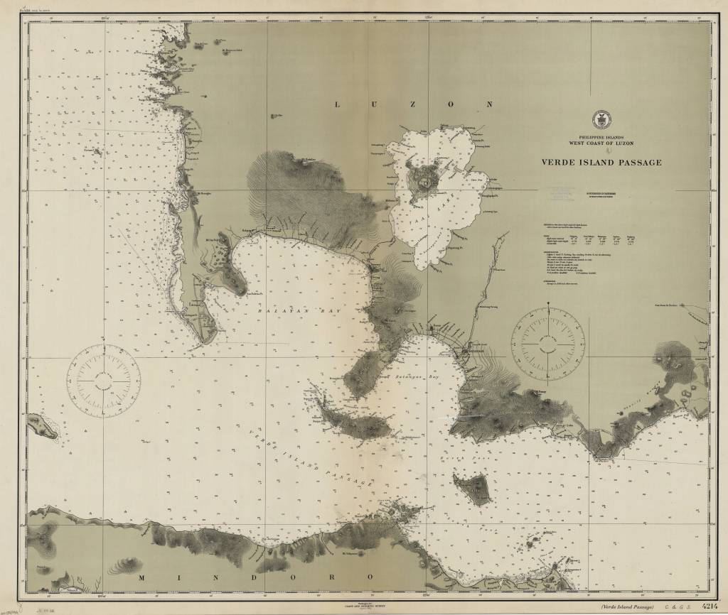
Philippine Islands, west coast of Luzon : Verde Island Passage / [U.S.] Coast and Geodetic Survey 1912
https://collections.lib.uwm.edu/digital/collection/agdm/id/6440/rec/30
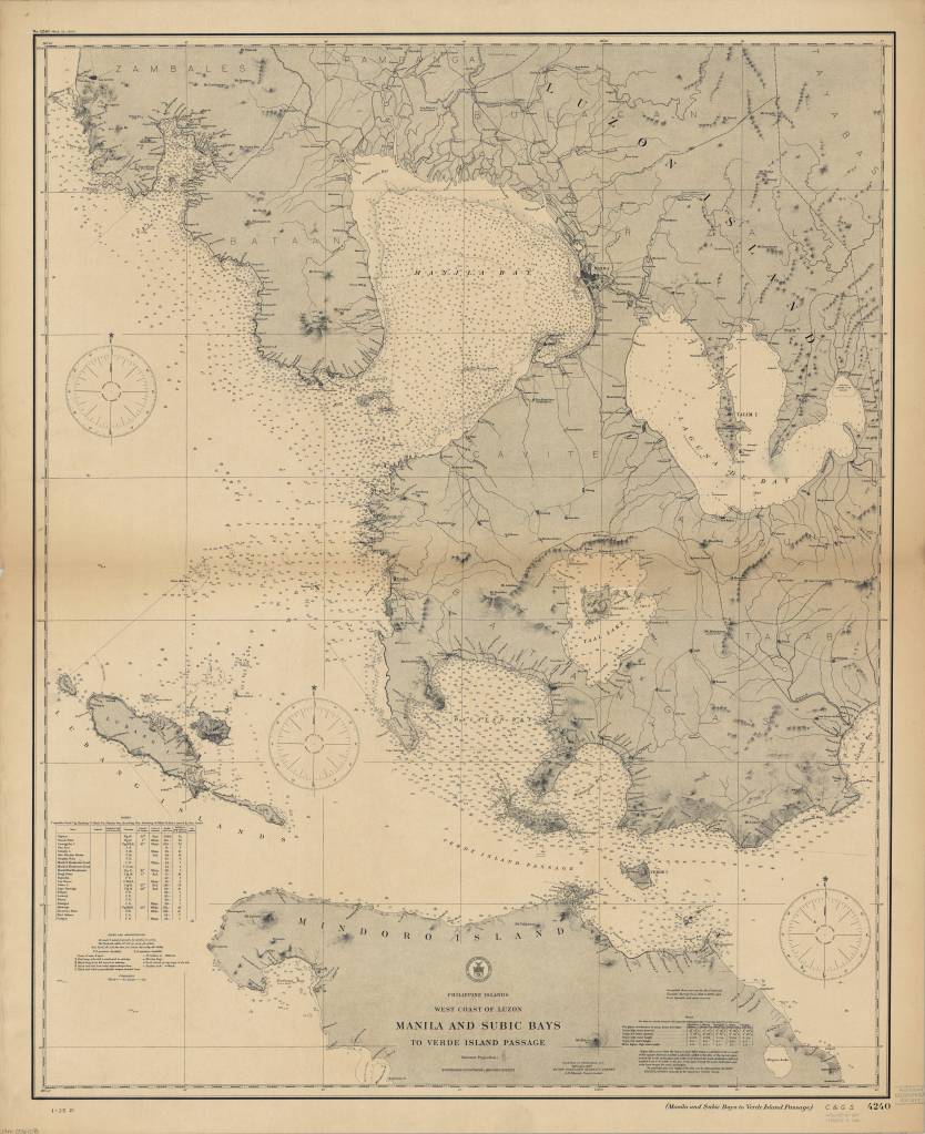
Philippine Islands, west coast of Luzon : Manila and Subic Bays to Verde Island Passage / published … by the Coast and Geodetic Survey, O.H. Tittmann, Superintendent ; compiled from surveys by the Coast and Geodetic Survey … and from Spanish and other sources 1907
https://collections.lib.uwm.edu/digital/collection/agdm/id/6373/rec/4
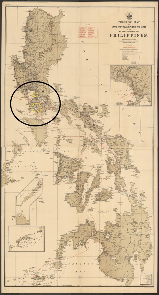
Progress map of Signal Corps telegraph lines and cables in the Military Division of the Philippines / prepared under the direction of Brigadier General A.W. Greely chief signal officer U.S. Army ; by Major R.E. Thompson Signal Corps, U.S. Army 1903
https://collections.lib.uwm.edu/digital/collection/agdm/id/25398/rec/23