MILWAUKEE MUNICIPAL RESEARCH CENTER MAP COLLECTION
Beginning in 2020, the American Geographical Society Library partnered with the Milwaukee Municipal Research Center (MRC) to provide online access to over 250 maps. This online map collection features maps created by city departments and includes subject areas of the city’s historic geographical boundaries and annexations, current and former aldermanic districts (known as wards prior to 1972), Census tracts, neighborhoods, land use, redevelopment planning, transportation and population. The collection has both historical maps dating back to early 1800s as well as more modern maps dating into the 2000s. The technical work was done by two UWM SOIS students, Samantha Dickson and Lillian Pachner, who uploaded the files and created ContentDM metadata.
In addition to finding these 250+ maps in the American Geographical Society Library Digital Map Collection online, all of them can be used on site at the Milwaukee Municipal Research Center (MRC), located in the basement level of the Zeidler Municipal Building, 841 N. Broadway. Their hours are 8:00 am – 4:45 pm, Monday-Friday.
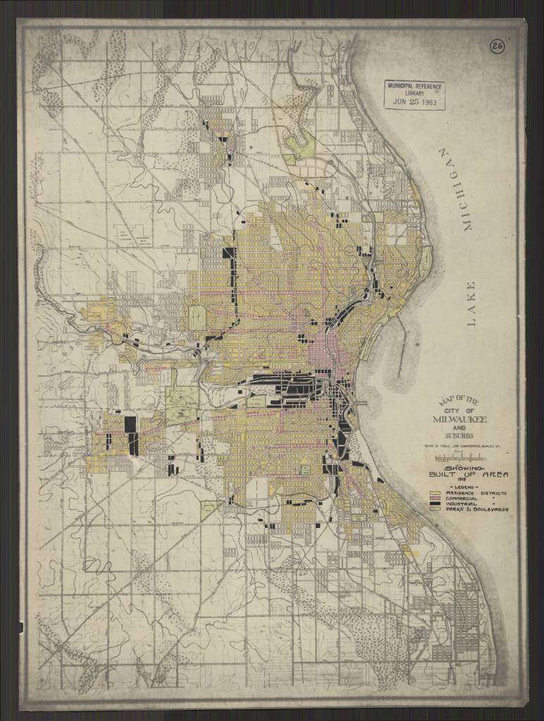
Milwaukee Wis. Annotated title: Showing Built Up Area 1919
https://collections.lib.uwm.edu/digital/collection/agdm/id/25616/rec/130
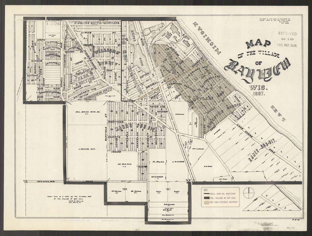
https://collections.lib.uwm.edu/digital/collection/agdm/id/25578/rec/150
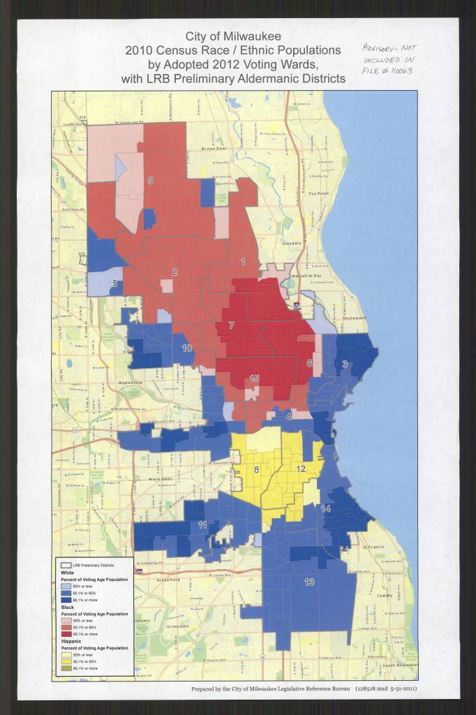
by Adopted 2012 Voting Wards, with LRB Preliminary Aldermanic Districts /
Prepared by the City of Milwaukee Legislative Reference Bureau
https://collections.lib.uwm.edu/digital/collection/agdm/id/25684/rec/135
