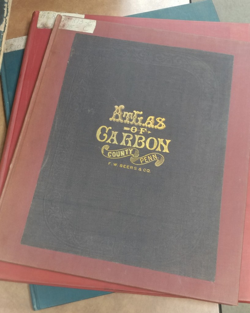
county atlas
Historical County Atlases
by Angie Cope
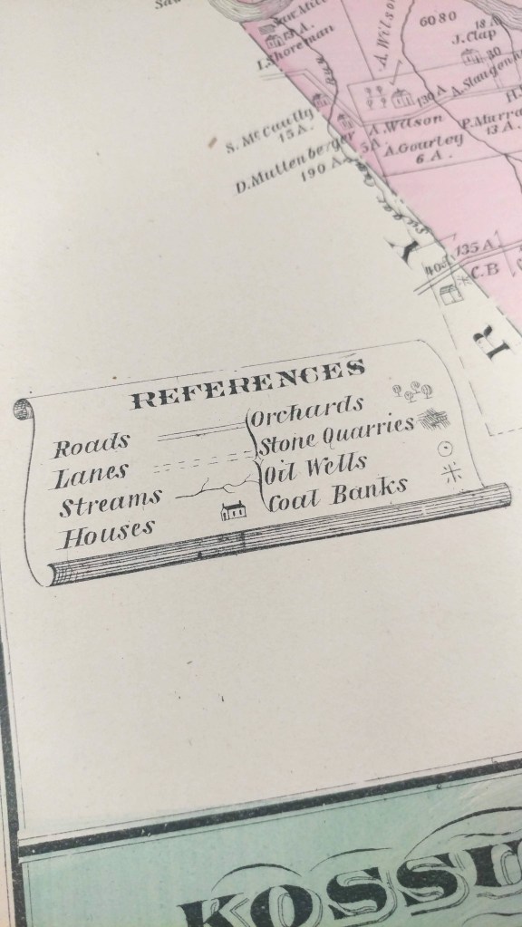
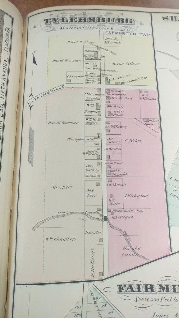
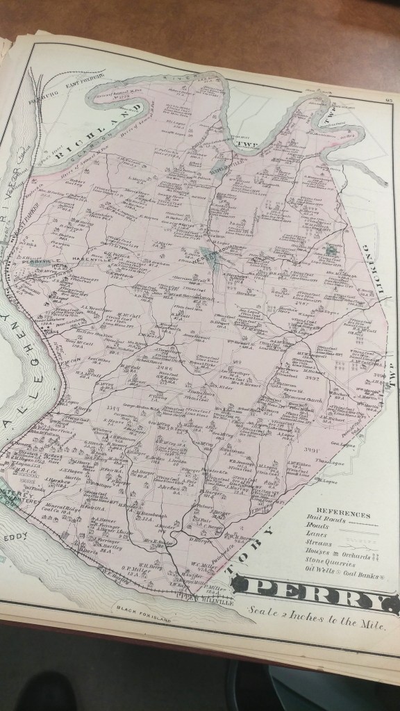
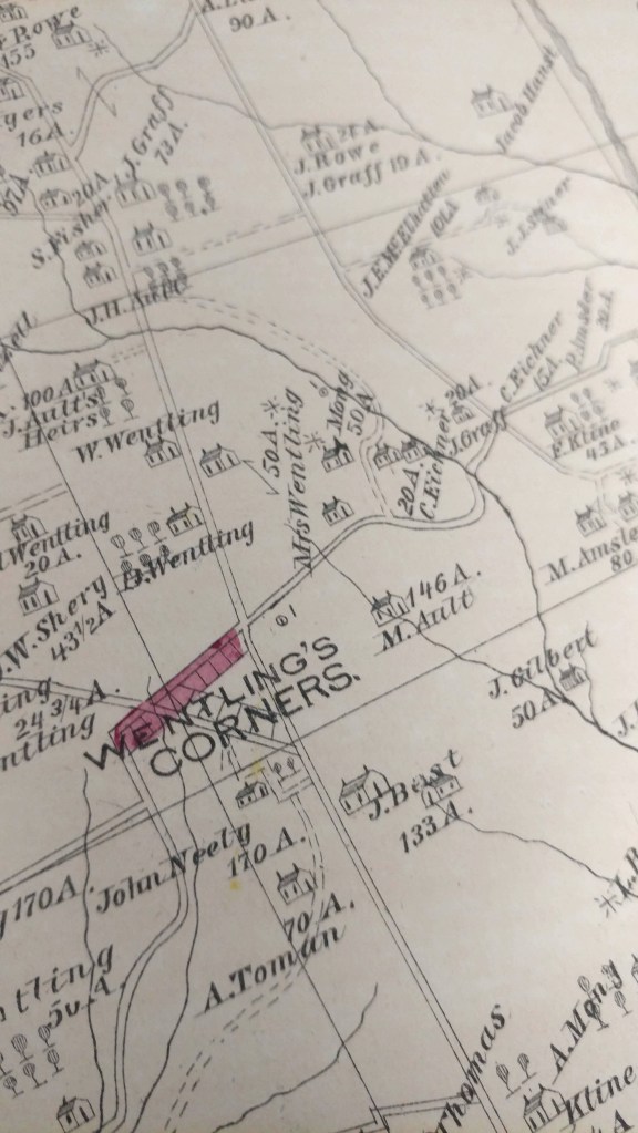
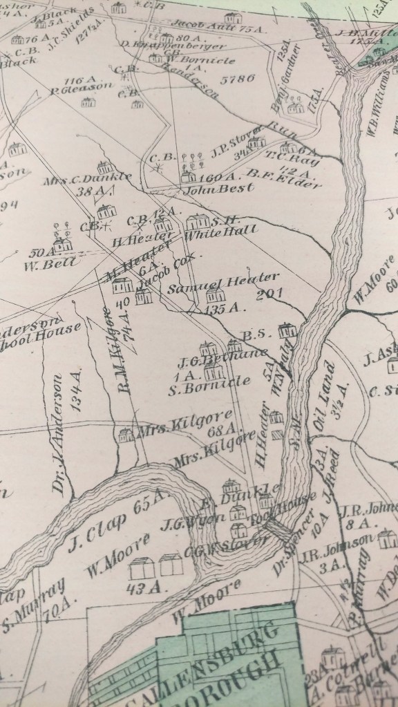
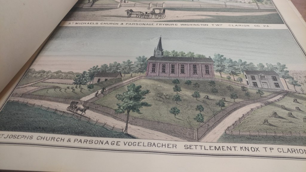
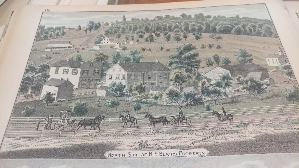
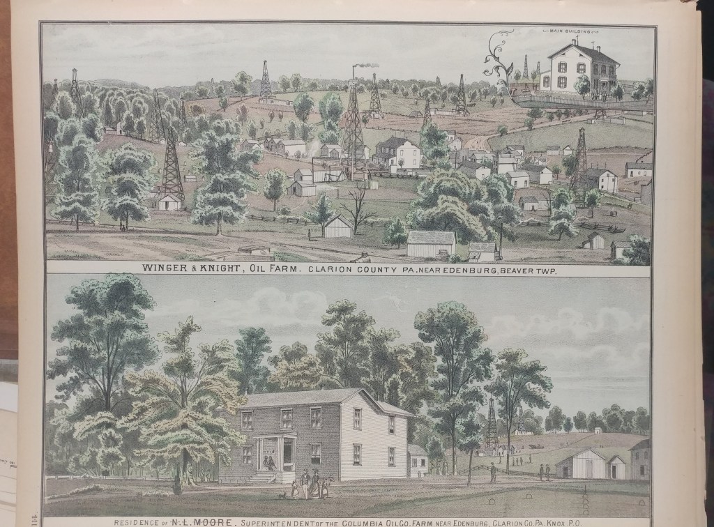
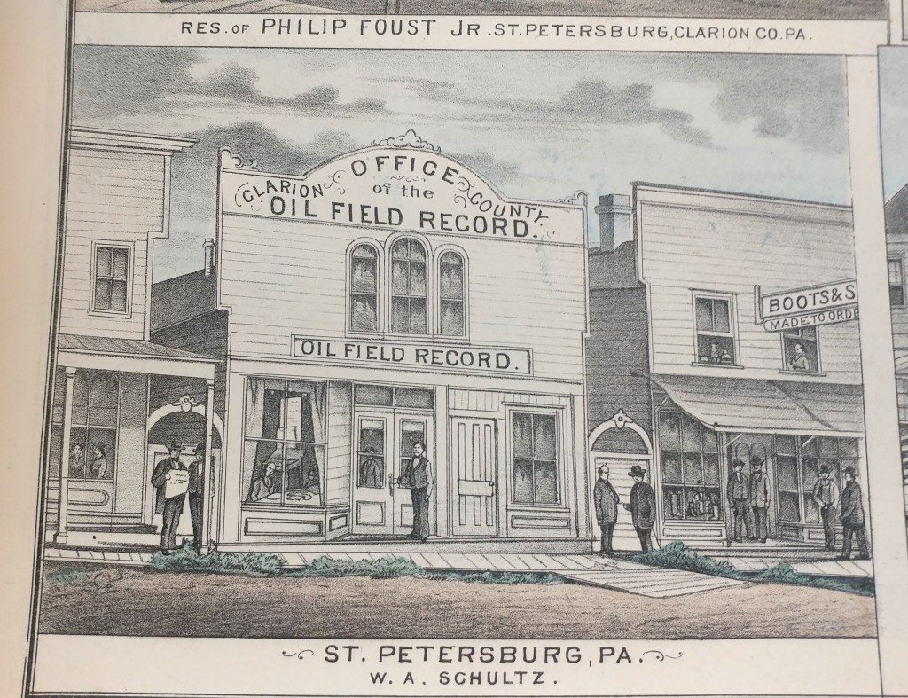
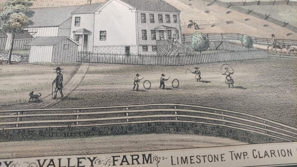
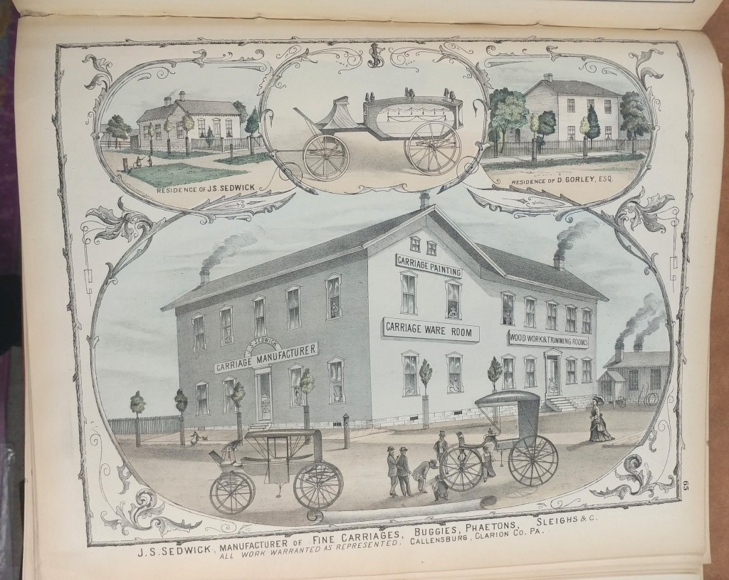
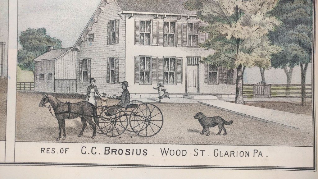
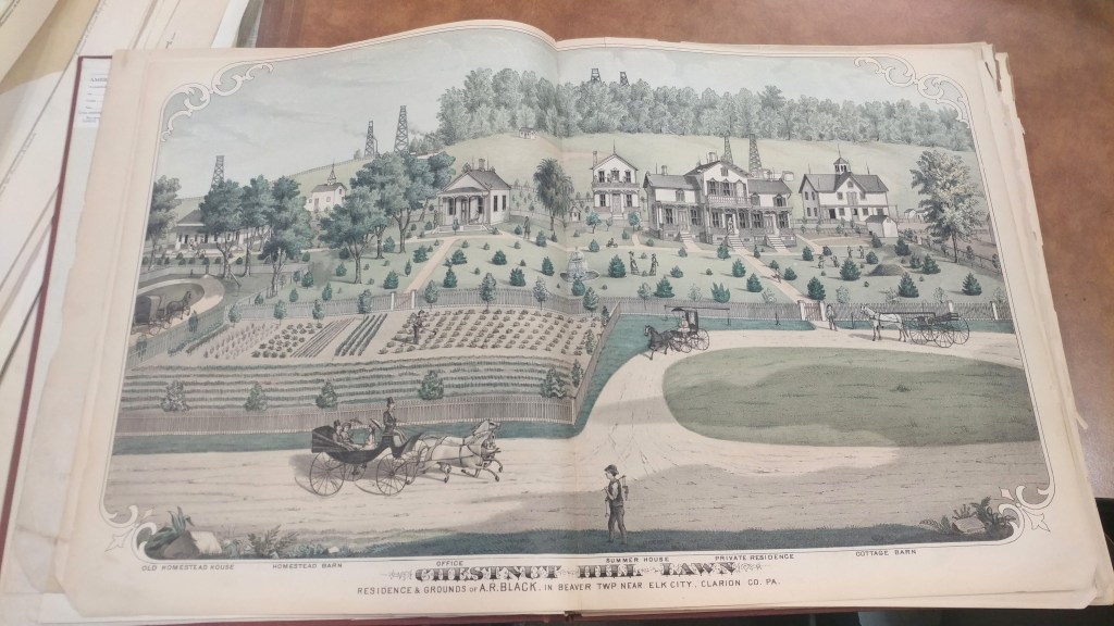
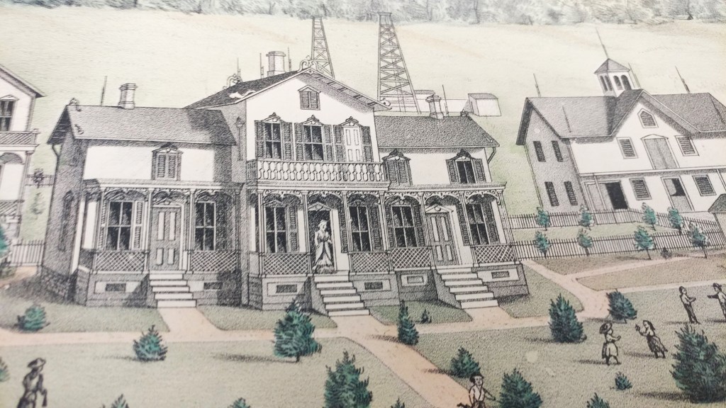
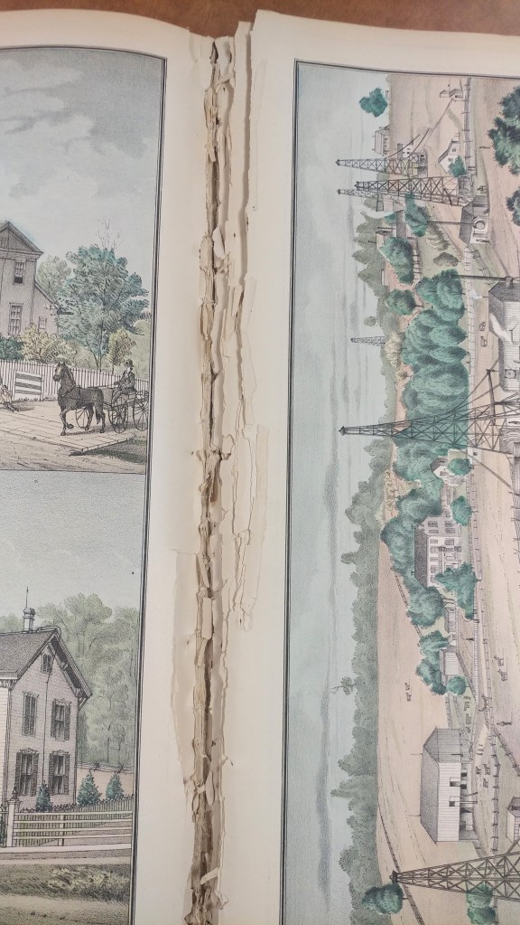
Historical county atlases show property boundaries and land ownership for every parcel of land in a county. In addition to rivers, hills and roads, these maps showed churches, cemeteries, schools, administrative boundaries, railways and roads. Each region had unique features such as Clarion County, Pennsylvania’s orchards, oil wells and coal banks.

These historical county atlases provide a detailed snapshot of much of the United States during periods of great population expansion of the 19th and early 20th Century.
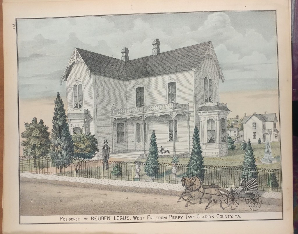
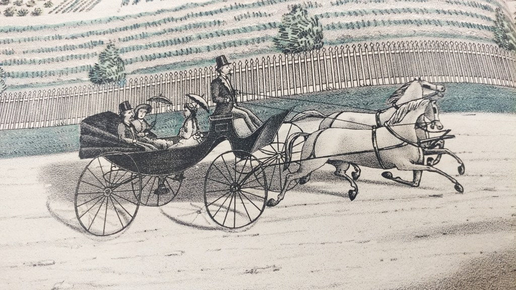
Preparation was often financed through support of local patrons who paid a fee to door-to-door salesmen. The atlases would then include patron directories and biographies, giving credit to this financial support. Many atlases include detailed illustrations of patrons and their homes, businesses and families. As in the example of this Clarion County, Pennsylvania atlas, the illustrations are numerous and beautiful.
These atlases can be found in libraries across the country but the paper used wasn’t always the best quality. At the AGS Library even re-binding didn’t guarantee use of acid-free materials.

Scanning atlases is a way to provide increased access, preserve information and limit handling to avoid additional damage. At the AGS Library we have nearly 1,000 atlases of this type. Other libraries are also scanning their atlases and making them available to researchers.
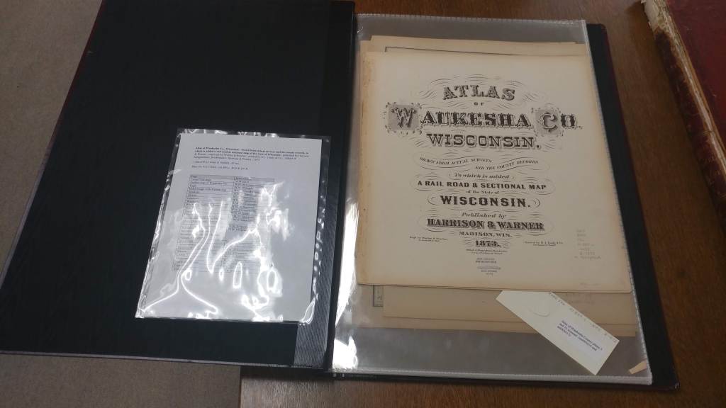
Atlas of Waukesha Co., Wisconsin : drawn from actual surveys and the county records, to which is added a rail road & sectional map of the state of Wisconsin / published by Harrison & Warner ; engraved by Worley & Bracher ; printed by H.J. Toudy & Co. ; Oldach & Mergenthaler, Bookbinders, 1873.
https://collections.lib.uwm.edu/digital/collection/agdm/id/3626/rec/2

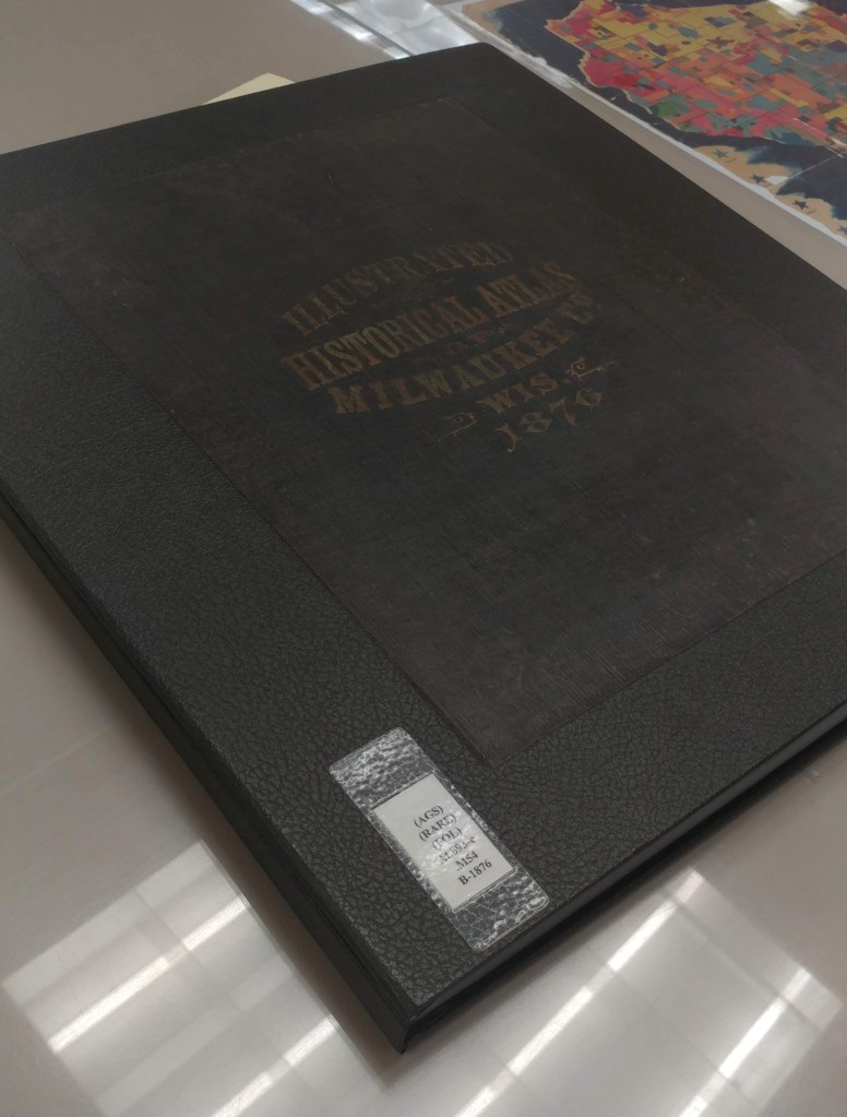
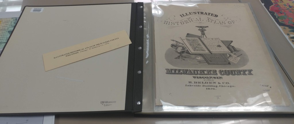
Illustrated historical atlas of Milwaukee County, Wisconsin / by H. Belden & Co., 1876.
https://collections.lib.uwm.edu/digital/collection/agdm/id/3746/rec/4