Egbert Viele
Re-discovering Seneca Village
By Brendan Dooley
It was almost two centuries ago when New York City’s first Black property owners began purchasing lots in what is now part of Central Park. Starting in 1825, Andrew Young and Epiphany Davis (both Black) and the African Methodist Episcopal Zion Church, bought the initial lots from John and Elizabeth Whitehead that would become Seneca Village (in what is now Central Park West).
The 5-acre area would become an integrated settlement of about 260 Black, Native American, Irish and German immigrant residents, with 2-3 churches, a school and more. Enter eminent domain and wealthier residents’ aspirations for a grand park to rival those of some European capitals. Central Park was an authorized entity by 1853 and land owners were starting to be meagerly compensated and evicted a few years later.
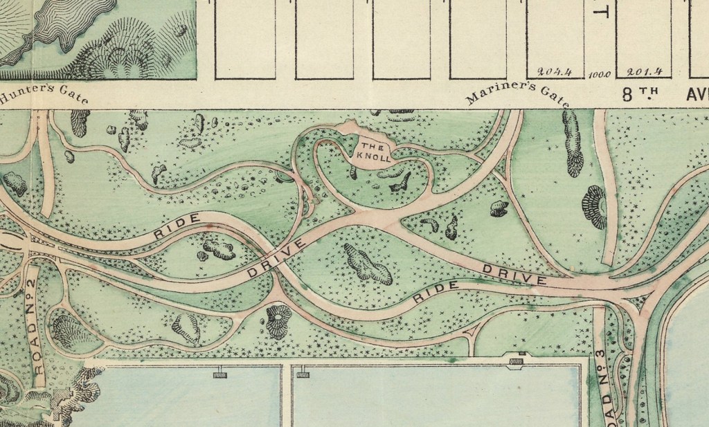
Cartographer Egbert Viele illustrated several maps of NYC, as well as Central Park in its planning stages. You can see where Seneca Village was, though it is not labeled as such. Newspapers of the time belittled residents there as “squatters” and worse in the apparent hopes of moving common will in favor of the “greater good” a park would serve. (The Seneca Village Irish in particular were said to be living in “shanties” with their “goats and hogs.”)
A renewed interest in the nearly lost history of Seneca Village has been ongoing since around the 1990s, including exhibits from the New York Historical Society. Some minor excavations of sites in the early 2000s located some small artifacts indicative of domestic living and foundational stonework of possibly one of the churches. You can check out some of these maps to look at more about Seneca Village, or learn more on the history and development of Central Park and NYC, in the AGSL Monday-Friday, 9 a.m. to 4:30 p.m. or anytime through our digital collections here.
Other links about Seneca Village:
