Nicaragua
Mosquito Coast, Nicaragua 1845
By Angie Cope
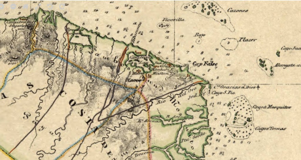
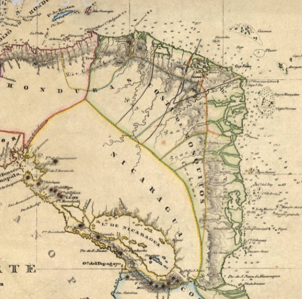
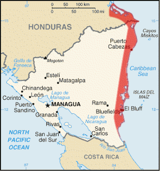
The Mosquito Coast is the region along Nicaragua’s eastern coast. It was claimed by Great Britain from 1655 until 1820s. The region became part of Nicaragua in 1860, with a northern portion granted to Honduras in 1960. In 1840s, when this map was created, Nicaragua was studied as a possible transoceanic canal connecting the Atlantic and Pacific Oceans. The region also provided a route for travelers from the eastern United States during the California Gold Rush, via the use of the San Juan River and Lake Nicaragua.
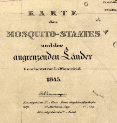
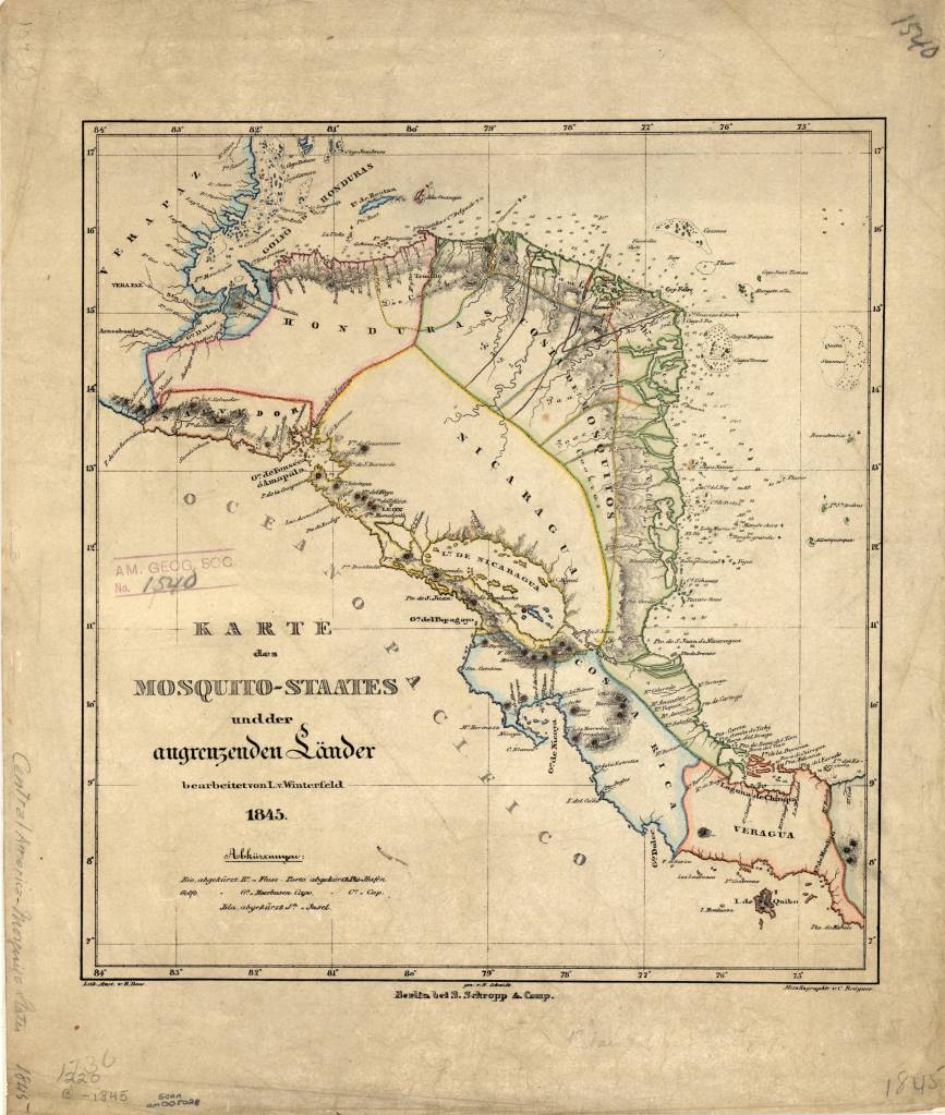
Karte des Mosquito-Staates undder angrenzenden Länder / bearbeitet von L. v. Winterfeld ; S. Schropp & Comp., 1845
Call number: (AGS) (RARE) 220 B-1845
1 map : color ; 33 x 30 cm.
Published in Berlin by Simon Schropp’sche Hof-Landkartenhandlung.
https://collections.lib.uwm.edu/digital/collection/agdm/id/360/rec/1
