fictitious entries
On the Road to Algoe: Revisiting the Paper Town
By Lauren Maddox
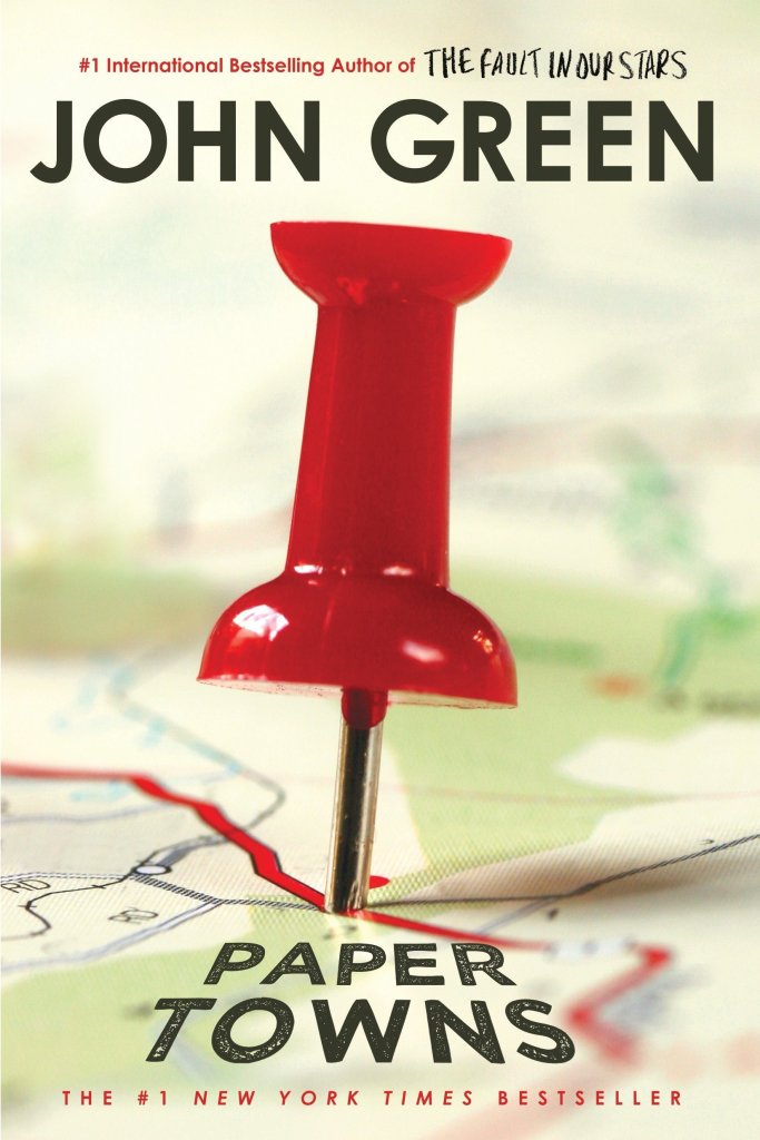
John Green’s Paper Towns posed a question that stumped many of its readers: how can spaces be simultaneously fictitious and real?
The novel was received by an excited public in 2008; the book won the Edgar Award, was Editor’s Choice for book of the year at Booklist and Voya, and was top of the list for Best Book at the Chicago and New York public libraries. In 2014 and 2015 interest in the novel and its faux-setting peaked– Paper Towns was being adapted into a film starring Nat Wolff and Cara Delevingne. Excitement for the move inspired a plethora of articles by news outlets like NPR, MNN, and Gizmodo describing the paper town that the book is centered around: Algoe, New York.
Check this book out from the UWM library! Click the link to learn more.
Algoe was unique in that it wasn’t and then was and then wasn’t a real place. Mapmakers would sometimes include fictitious entries as a way to subtly sign their work. It’s almost impossible to prove that a representation of reality has been copied, but copyright traps were a way to prove that a work had been stolen. If the copycat included the fictional place names from the original map in their version, the original mapmaker could prove that it was their intellectual property. Algoe was one of these copyright traps. It appeared to be a small hamlet in upstate New York, nestled between interstate routes. In reality, “Algoe” was just an anagram of mapmakers Otto G. Lindberg’s and Ernest Alpers’s initials.
Esso bought the map from Lindberg and Alpers and began distributing it. A few years later, Algoe appeared on another map by Randy McNally. Lindberg accused McNally of having stolen the map because, of course, Algoe wasn’t a real place. But McNally protested. His company had gotten the records of Algoe completely legally. A general store owner had seen the town name Algoe on the Esso map years earlier and decided to name his general store after it. Just like that, Algoe had become a real place. After a few years, the store shut down, and Algoe ceased to exist again. You can still find it, though, if you search for Algoe on Google Maps.
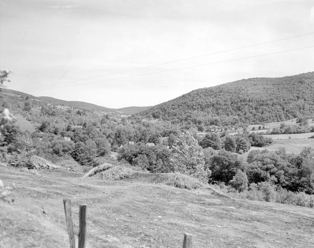
Photo of Delaware County, New York, where Algoe was supposed to be. Click this link to see this photo in our Digital Collections!
Trap streets and paper towns were just one way that a mapmaker might mark their work– the map sheets below, which are part of a survey of the Gold Coast (now Ghana), depict a hidden elephant in the elevation chart. Frank Jacobs’s “How to Hide an Elephant in a Map” tells the story of a hot, uncomfortable British surveying expedition who, upon discovering a particularly inaccessible stretch of land, decided to just doodle an elephant and call it a day.
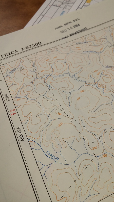
1964 Edition of the Gold Coast Survey Maps. Click the link to check out our Flickr! 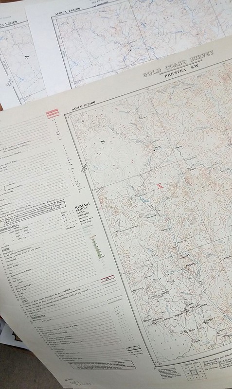
Three editions featuring the elephant. Click the link to check out out Flickr!
In this case, the hidden mark on the map wasn’t to protect intellectual property; apparently, the expedition decided to fill the blank space in their survey so that they could pack up and go home. But the result was the same– the creator’s left a unique stamp on their work that was copied in later editions over and over again. Just in the AGSL archives, there are three editions of this map sheet with the elephant from 1924, 1951, and 1964.
We expect maps to tell the truth– they appear, on the surface, to be objective representations of reality. But the truth is, they often aren’t; mapmakers and the people who finance them have an agenda. In Algoe’s case, it was a white lie designed to protect the intellectual property of mapmakers who wouldn’t otherwise be able to prove that their work had been stolen. And the tired British expedition’s elephant was a way for them to avoid traversing any deeper into an inaccessible landscape. These are the innocent lies that maps sometimes tell us– but other times, a map could be lying to us for other, more nefarious reasons.
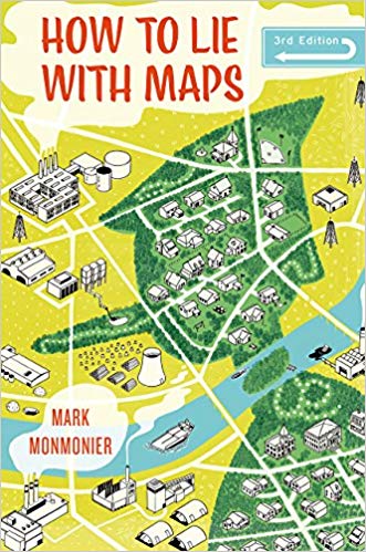
Monmonier’s How to Lie with Maps. Click the link to see this book in our Digital Collections!
Mark Monmonier’s How to Lie with Maps outlines the many lies, harmless or not, that maps sometimes tell us. According to Monmonier, “map users…need to appreciate the perils and limitations” of maps because they are “rhetorical tools fully capable of ‘lying'” to us, accidentally and purposefully. These lies can be fairly small– a fake hamlet in upstate New York or an elephant masquerading as a hill. Algoe isn’t a threat to our perceptions of reality. However, it does remind us that maybe our maps aren’t as truthful as we like to believe.
In 1993, a series of cases against the board game company behind Trivial Pursuit ended the use of copyright traps. The courts found that, in the same way you can’t copyright a real place, you can’t copyright a lie. No one looks for these copyright traps anymore, since they aren’t functional protections against copycat map makers– which means there might be even more hidden places on our maps, waiting to be discovered.
