Egyptomania in the AGSL Archives
By Lauren Maddox
In 1798, Napoleon launched an invasion into then-Ottoman territories in Egypt and Syria in order to disrupt Eastern trade for Britain. Napoleon wanted to “liberate” India from British rule, but knew that France’s newly formed navy was not going to be a match for Britain’s own naval forces. So, to avoid a confrontation at sea, Napoleon chose to confront the British and their allies over land.
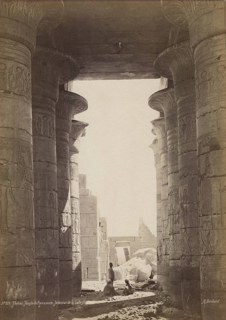
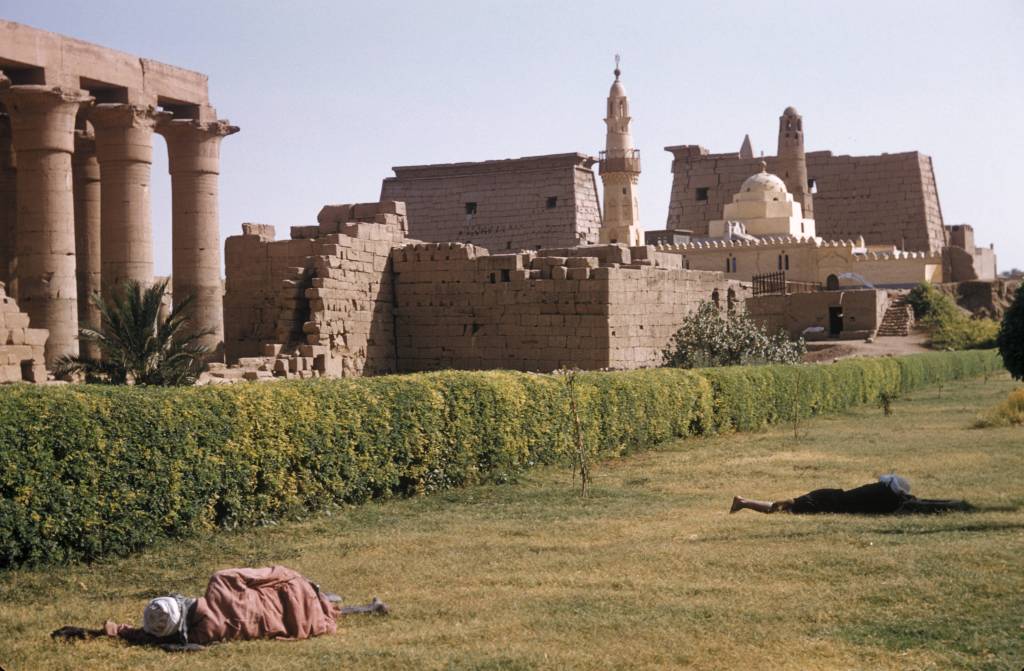
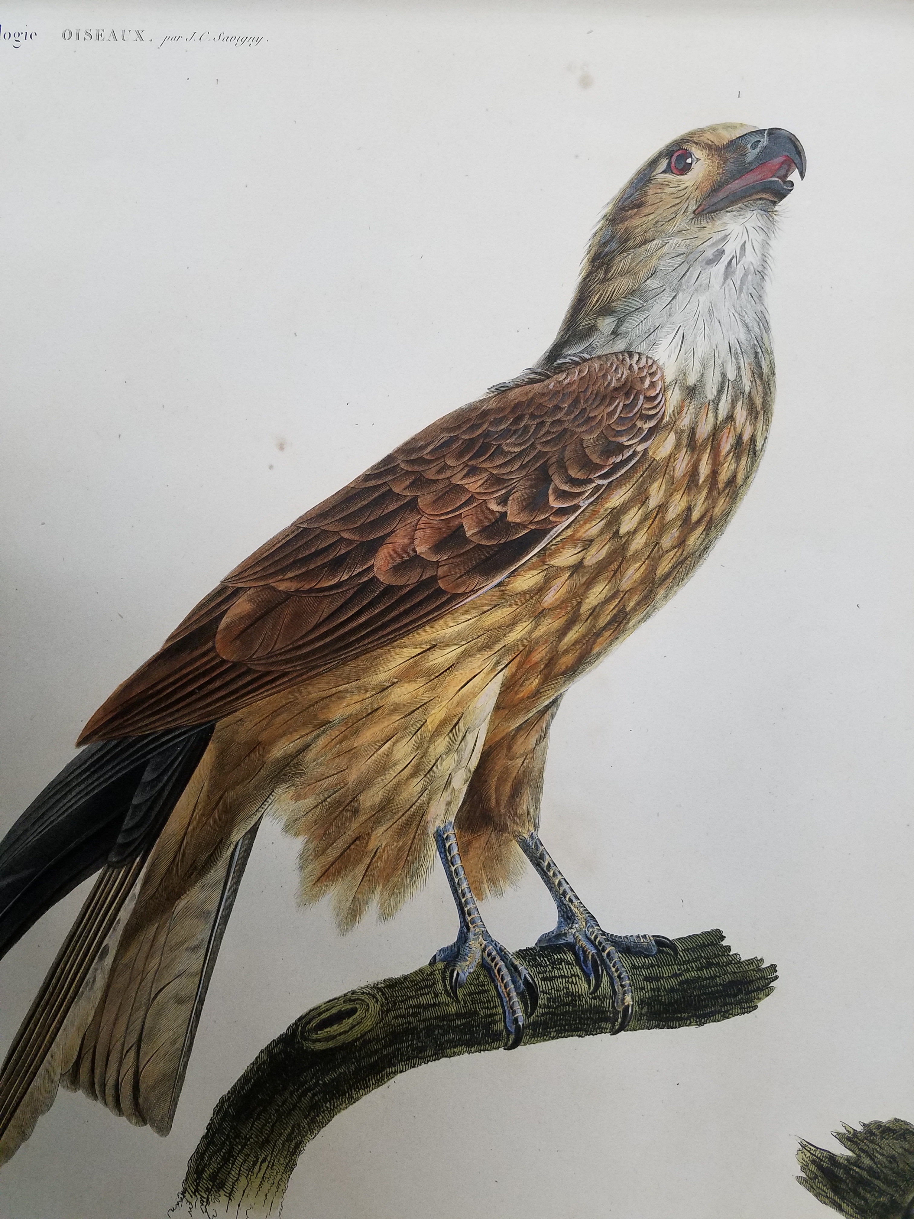
Henri Bechard’s Photo of the Hypostile Hall in Ramesseum Temple in Thebes. Click the link to see this image in our Digital Archives!
The primary motivation of the invasion was to challenge British trade structures, but Napoleon was also interested in promoting scientific pursuits in the region and making new discoveries about the ever-romanticized ancient Egypt. Napoleon styled himself as Roman, after all. Napoleon was a fierce Corsican nationalist, and of course became the emperor of France, but often identified most with an Italian ancestry of conquerors and colonizers. Some of his interest in Egypt could have been related to this stylization. Octavius annexed Egypt into the Roman Empire after deposing Pharaoh Cleopatra, officially incorporating it as the Roman province of Egypt in 30 B.C.E. Napoleon, a self-styled descendant of Roman imperialists, was interested in Egypt as a former piece of the Roman Empire, and as a leader looking to establish a French Empire.
The invasion was a failure; the three factions of the Ottoman Empire and the British forces overpowered French troops, forcing them to withdraw without having achieved their primary military goals. But the impact of Napoleon’s military operation went beyond its failure. Besides the military forces, Napoleon also recruited a large number of scholars (called his “savants”) to accompany the army in an exploratory expedition. There is some debate about Napoleon’s motives– the inclusion of the savants could have been proof of his dedication to the ideals of the Enlightenment, or a ruse to cover the campaign’s true militaristic and colonial intentions.
Whatever their true purpose, the savants attempted to create passage through the Suez Canal, drafted maps of roads and ancient cities, established an institute to promote scientific and agricultural advancement in Egypt, recorded and cataloged the flora and fauna of the region, uncovered and collected artifacts (without the permission of Egyptians, it is worth noting), and even “recovered” the Rosetta Stone. Few of the artifacts ever actually made it to France; much of the work was confiscated by the British and is now displayed in British Museums. Of course, these artifacts are rightfully Egyptian, and were taken as part of colonial appropriation, but were not returned by the French or the British even after colonization efforts ceased.
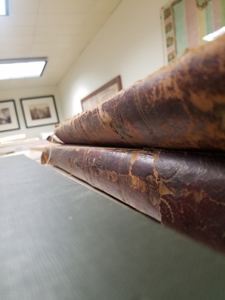
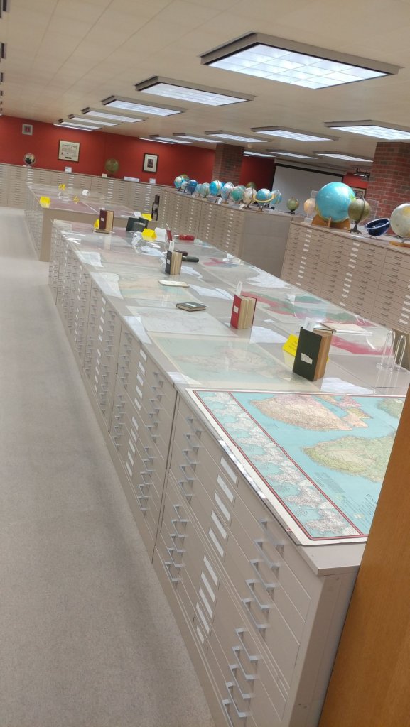
Volumes of Description. 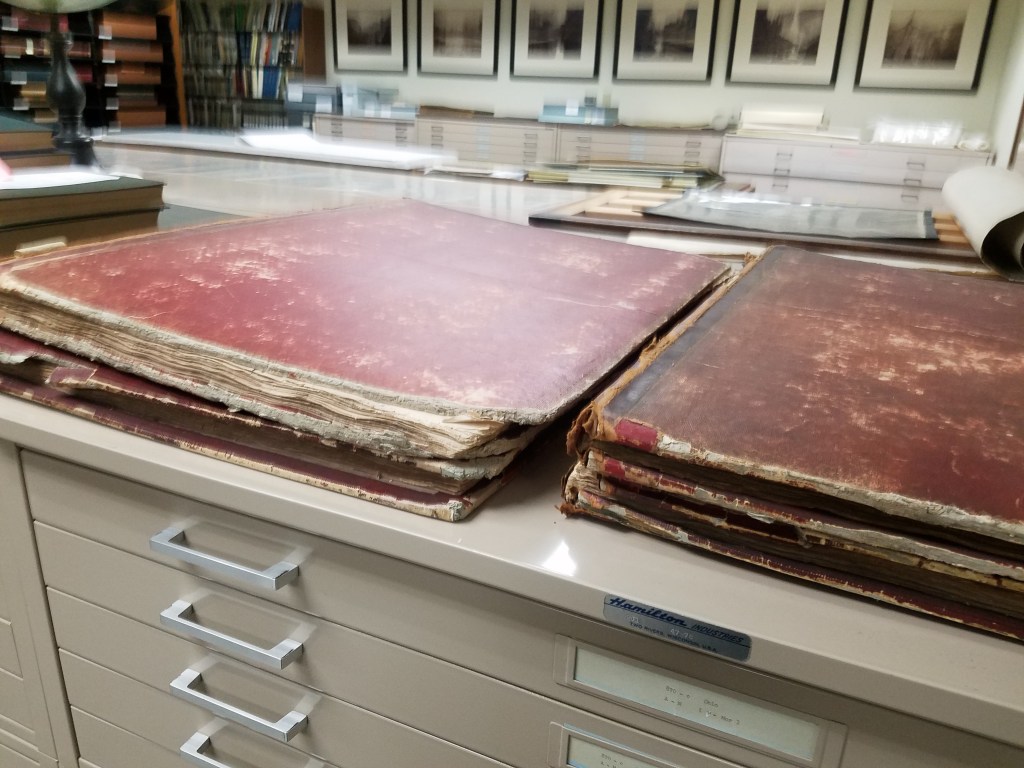
Photo of multiple volumes of Description in our rare collections room. 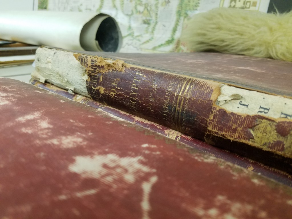

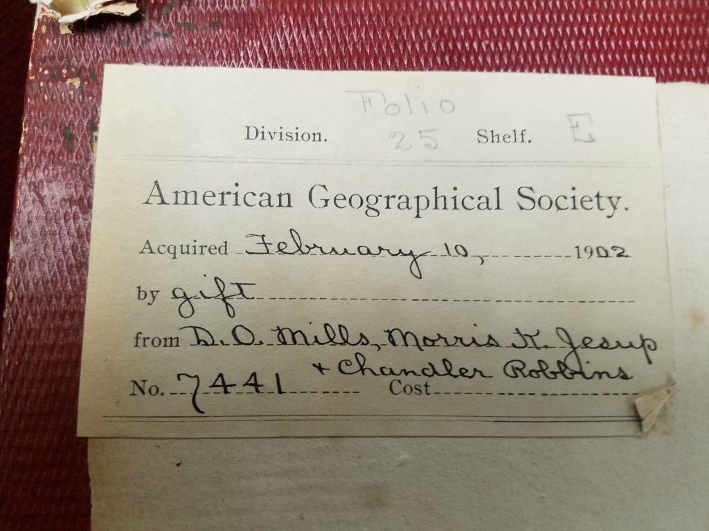
Note of Acquisition by the AGSL. 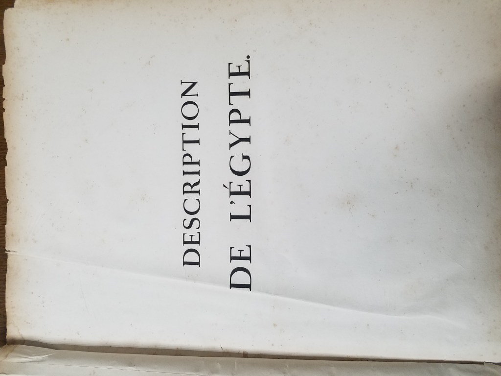
Title Page 
Condition of the volume. 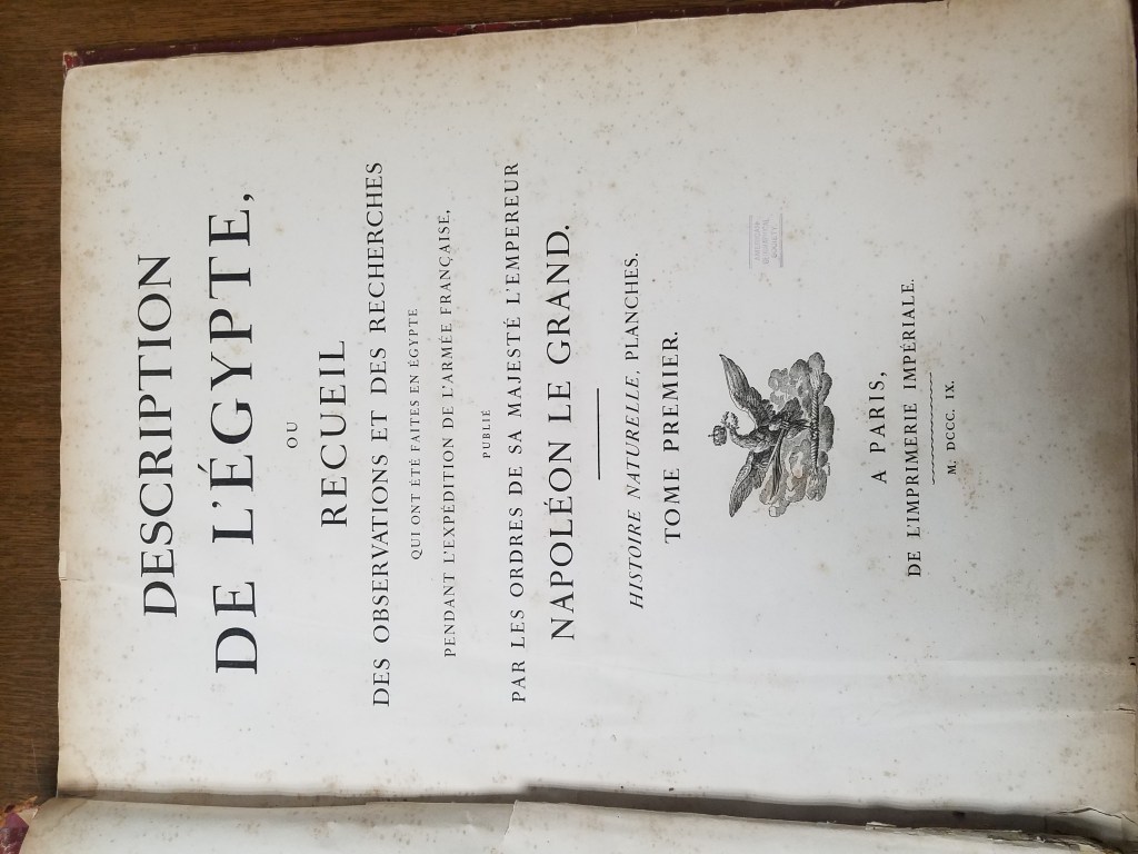
Title Page 
AGSL Stamped! 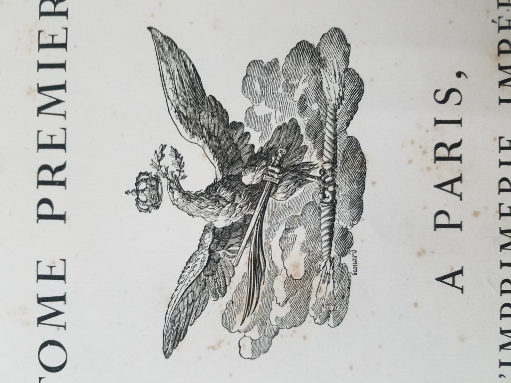
Royal Armorial Crest
To bring this new knowledge of Egypt to the people back in France, the savants compiled an initial collection of their findings in 4 volumes: Mémoires sur l’Égypte. After defeat in Egypt, Napoleon had a more comprehensive collection compiled and published: the Description de l’Egypte. The first edition included 23 volumes compiled through the collaboration of the 167 savants and thousands of artists and technicians, including 400 engravers.
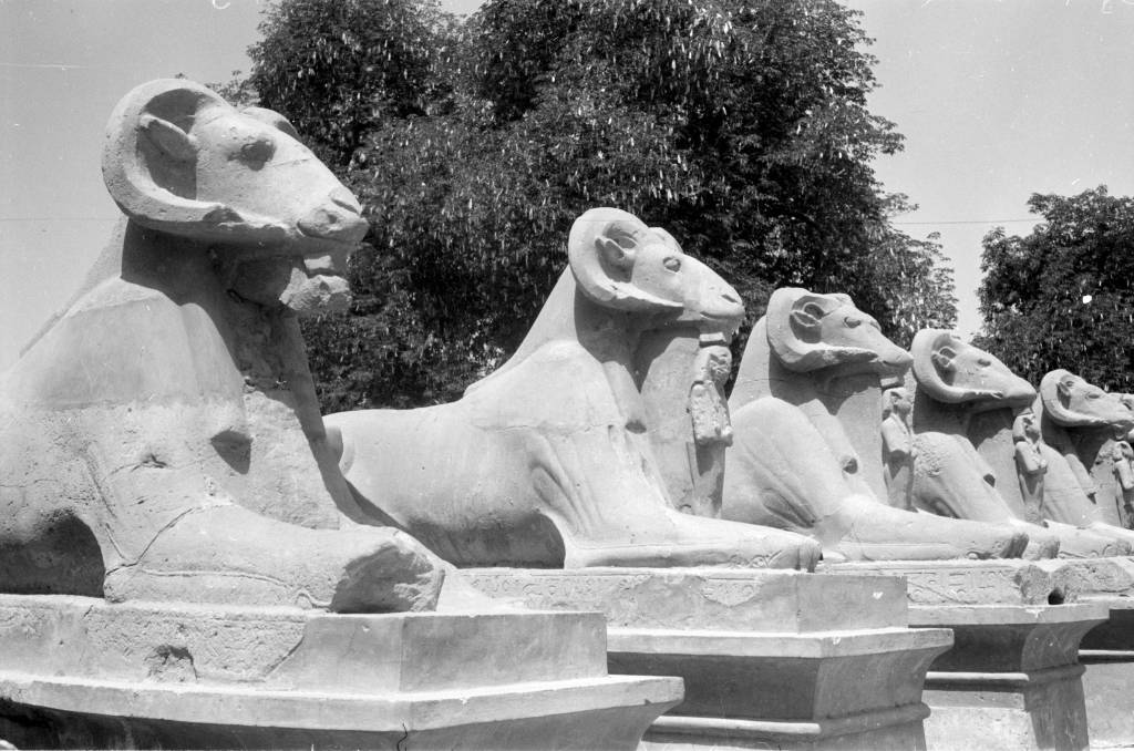
Description was wildly popular in Enlightened France, where interest in foreign places was high. The vivid engravings and detailed descriptions sparked interest in the West– Egyptology was born. Egyptology, which became a Western pastime and eventually developed into a full-on craze for hobby-historians and professionals alike, covers the ancient history, religion, language, architecture, and art of Egypt. Ancient Egypt continued to be an exotic fantasy to Westerners.
Egyptomania spread through Europe and the rest of the West– especially the United States of America, where Egypt became a model for the young nation still developing its identity as a sovereign state. Throughout the 19th century and well into the 20th, echoes of Egyptian (or, as the case may be, “Egyptian”) art and architecture resounded through the West.
The influence of Egyptomania can still be seen in famous architecture, monuments, and art. Some very obvious examples: the Washington Monument and the Luxor Hotel.
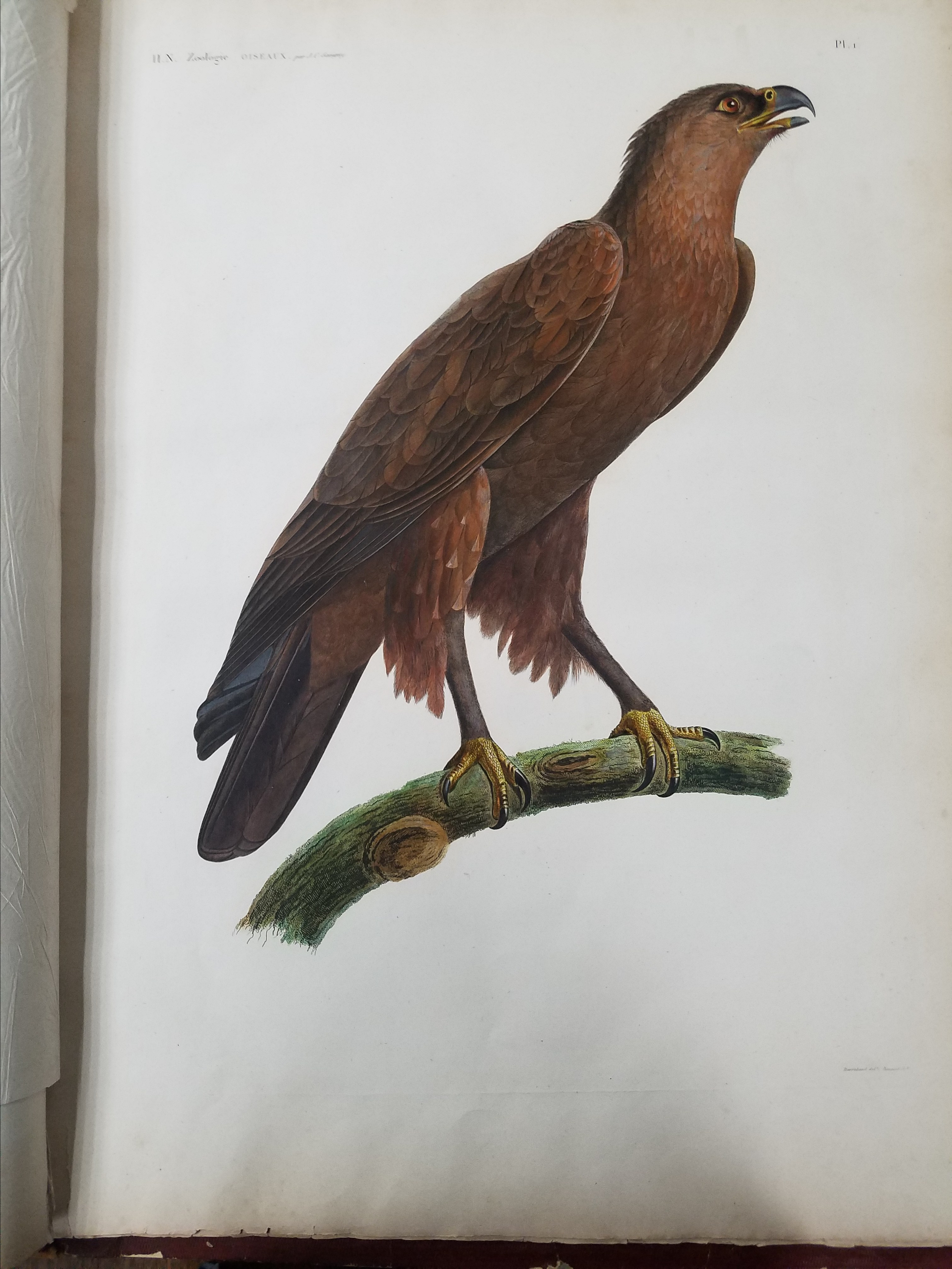
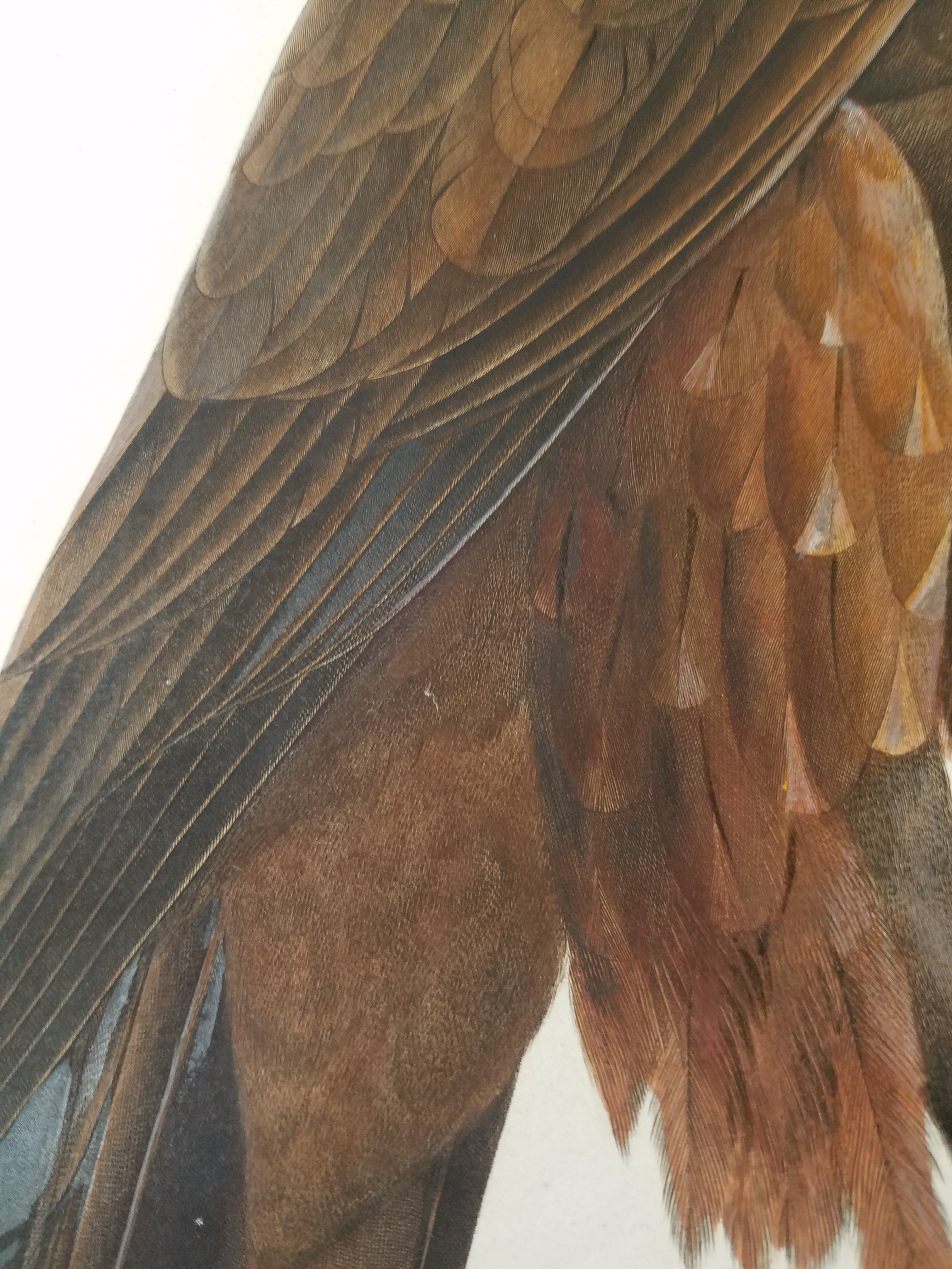
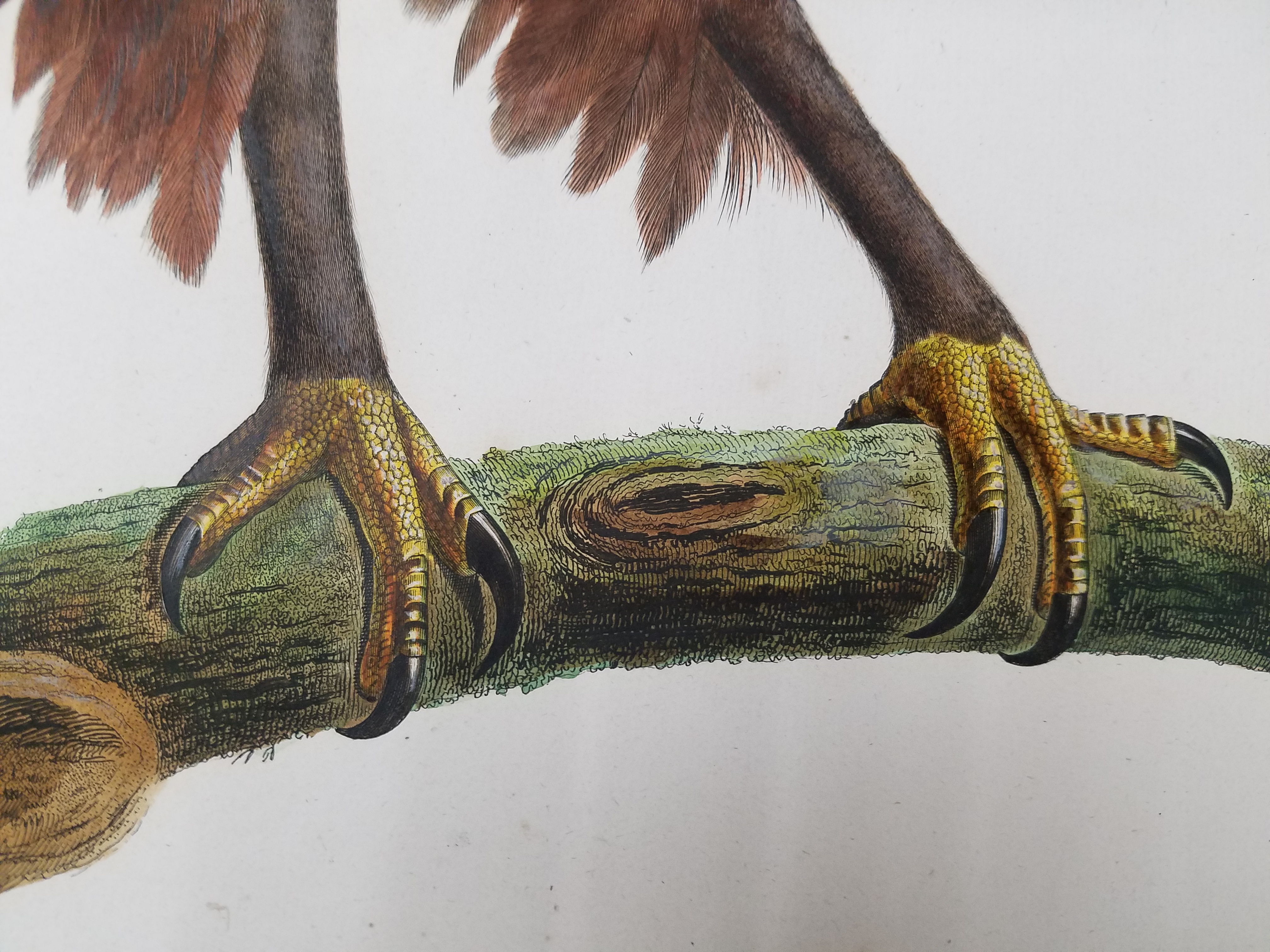

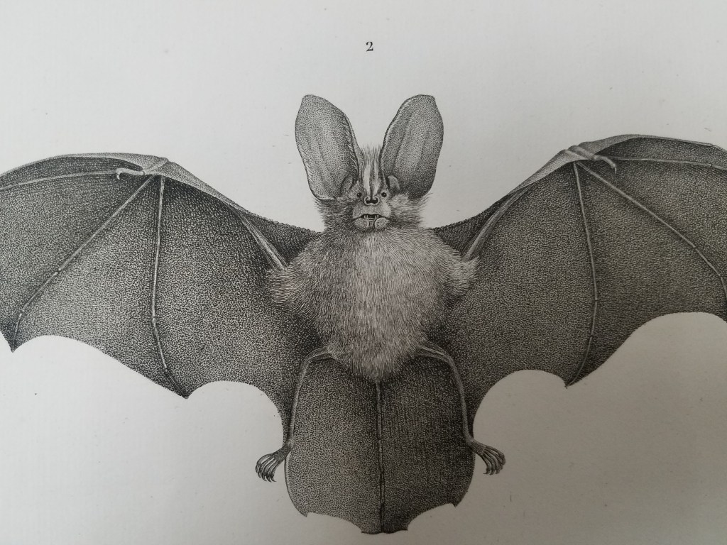
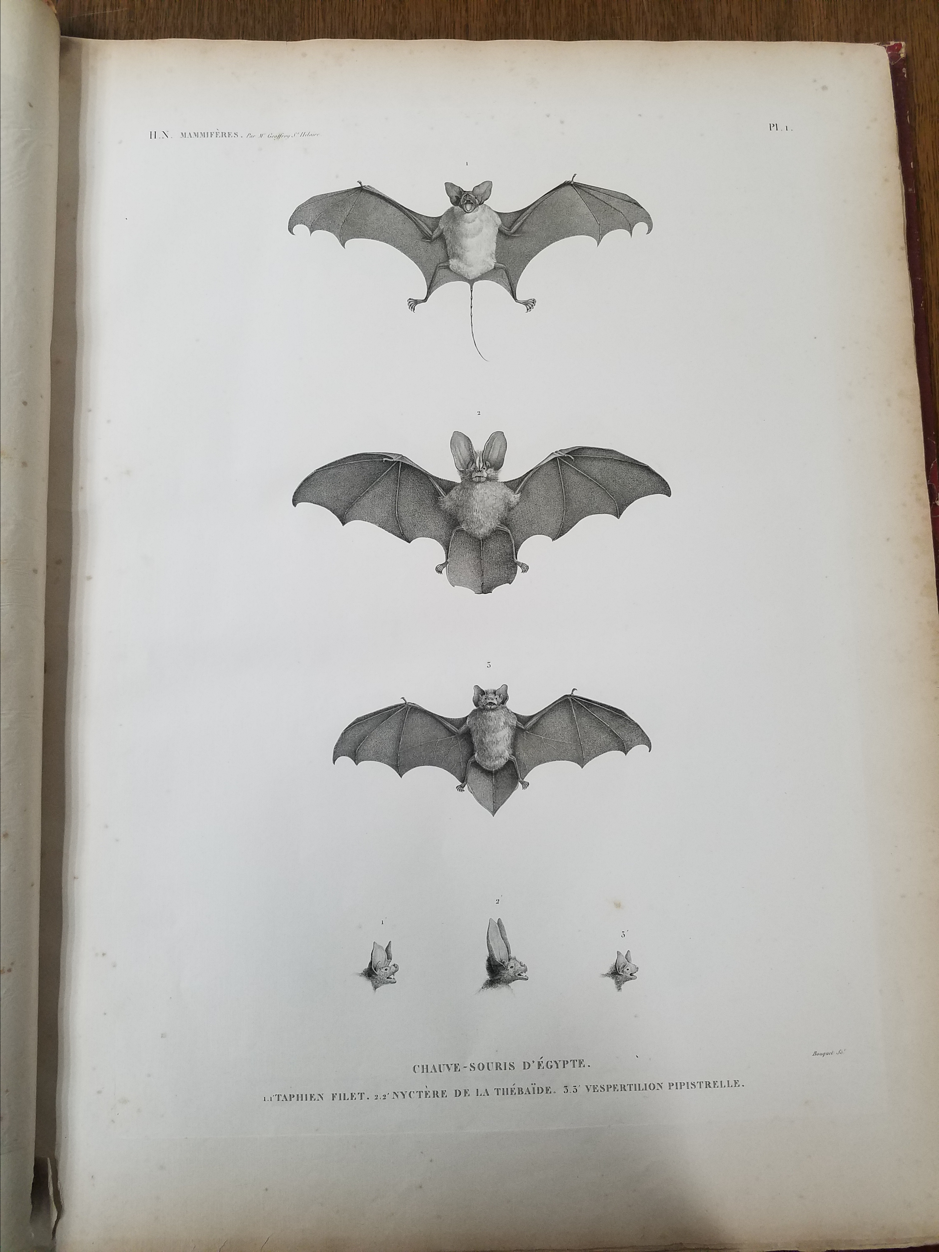
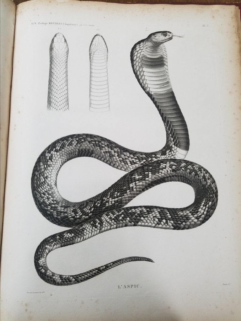
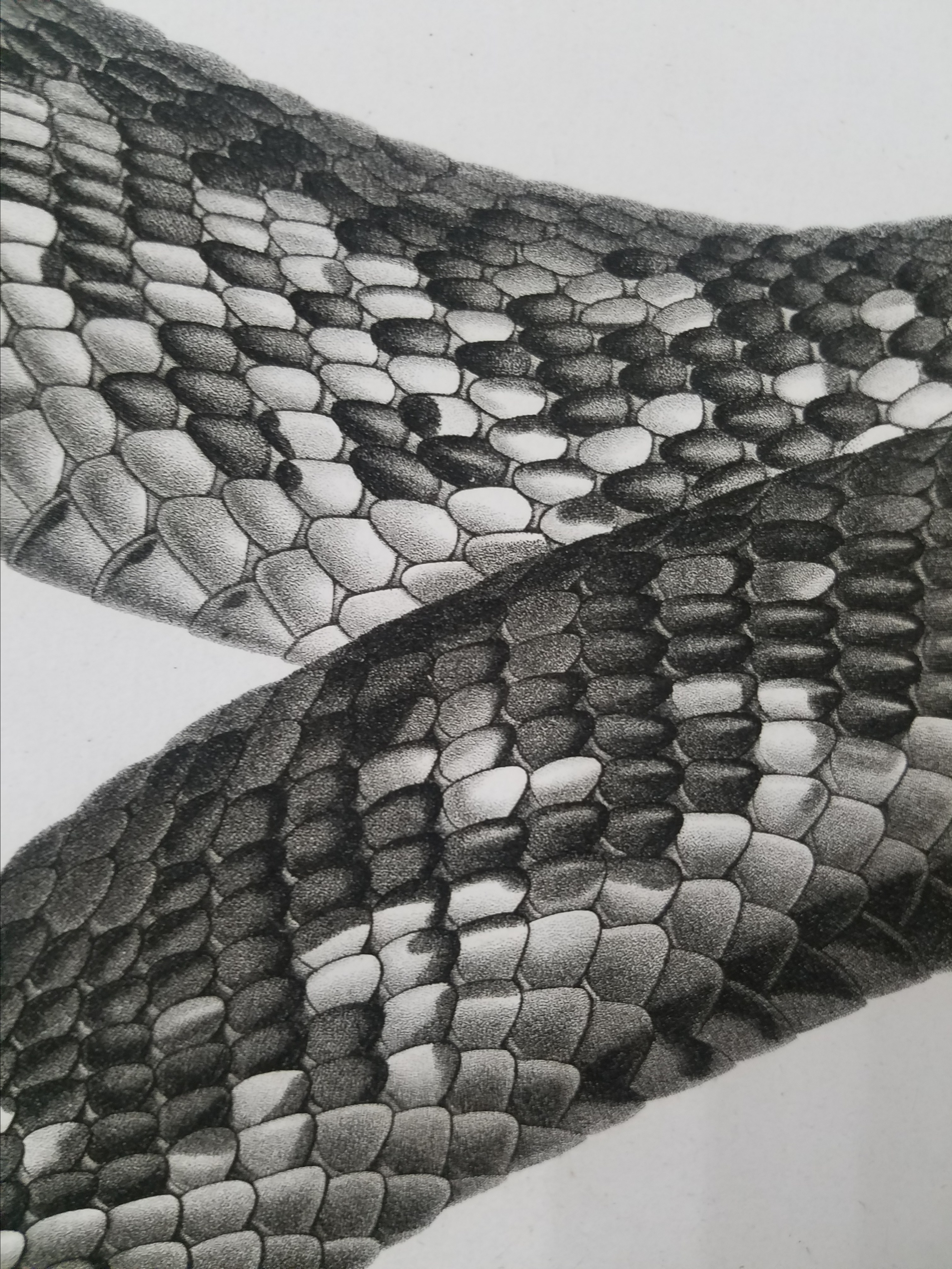
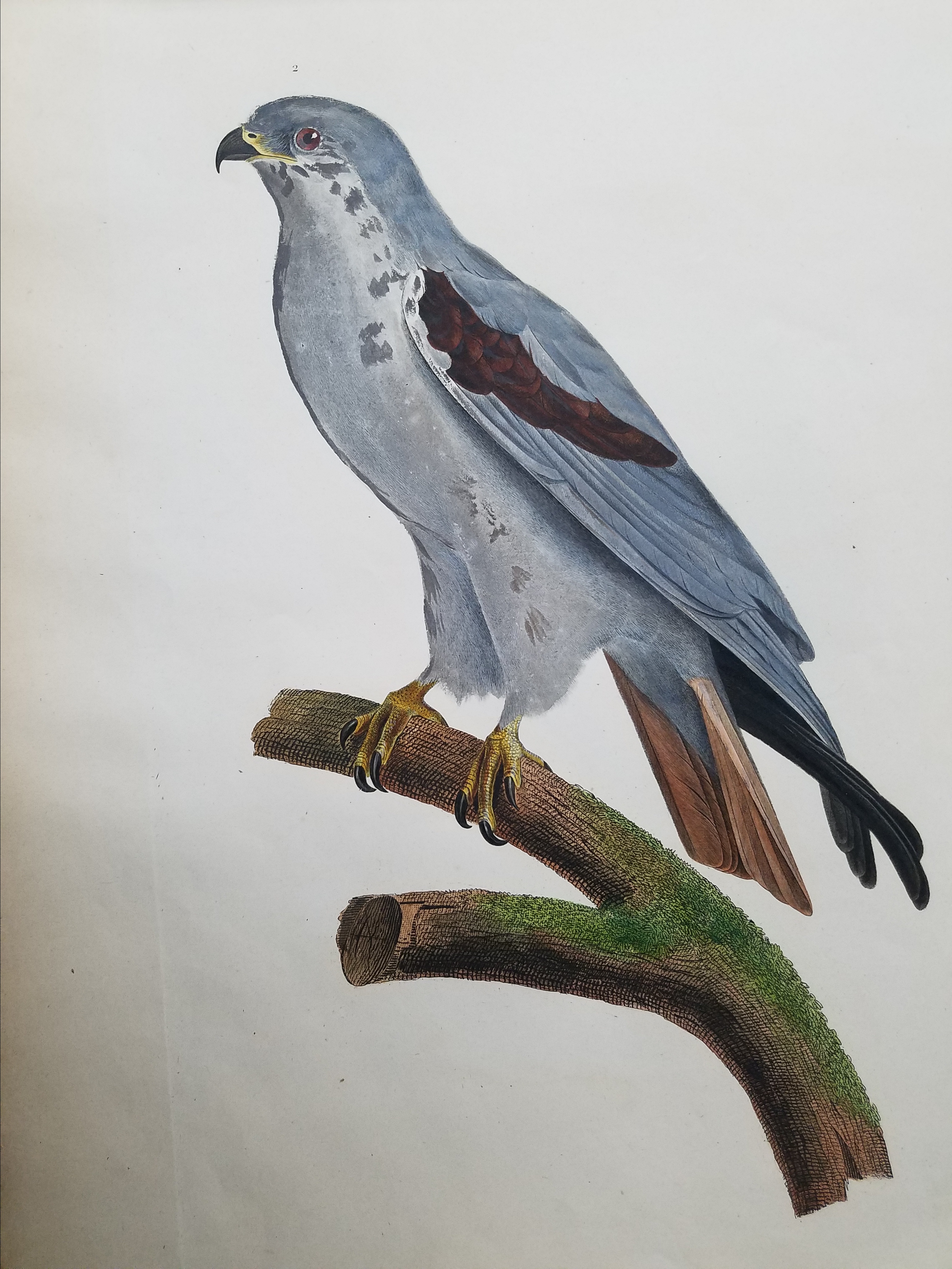
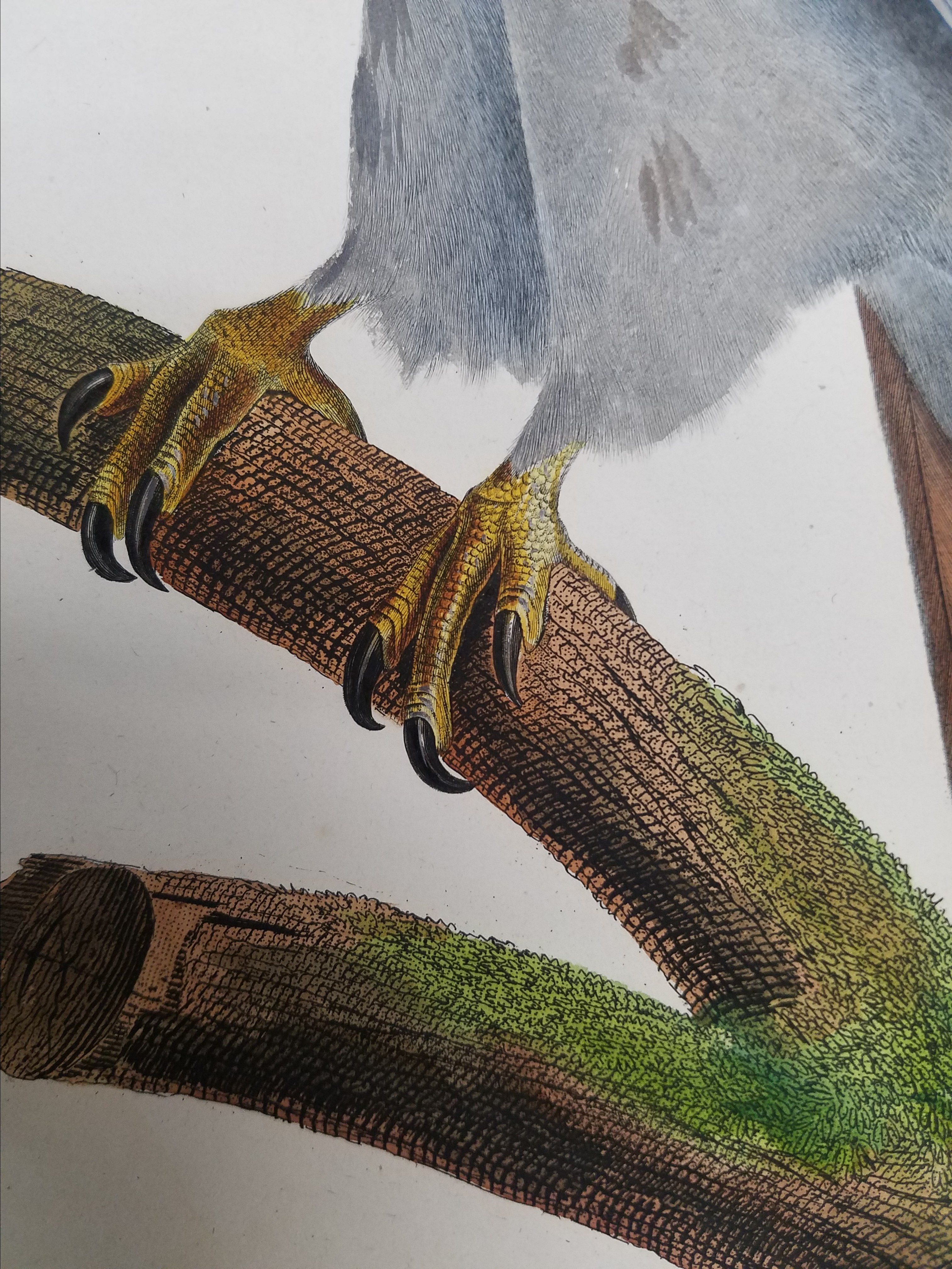
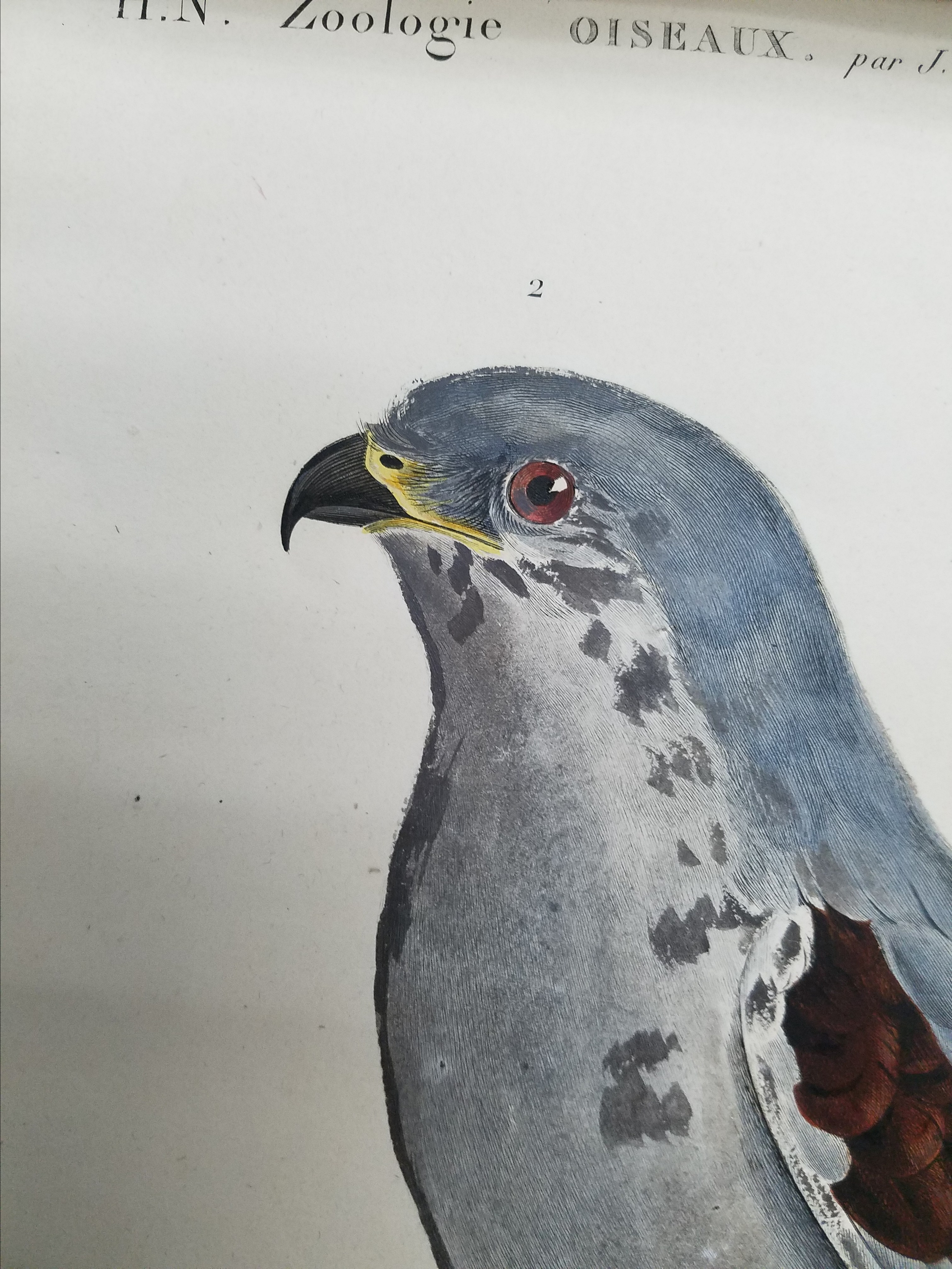
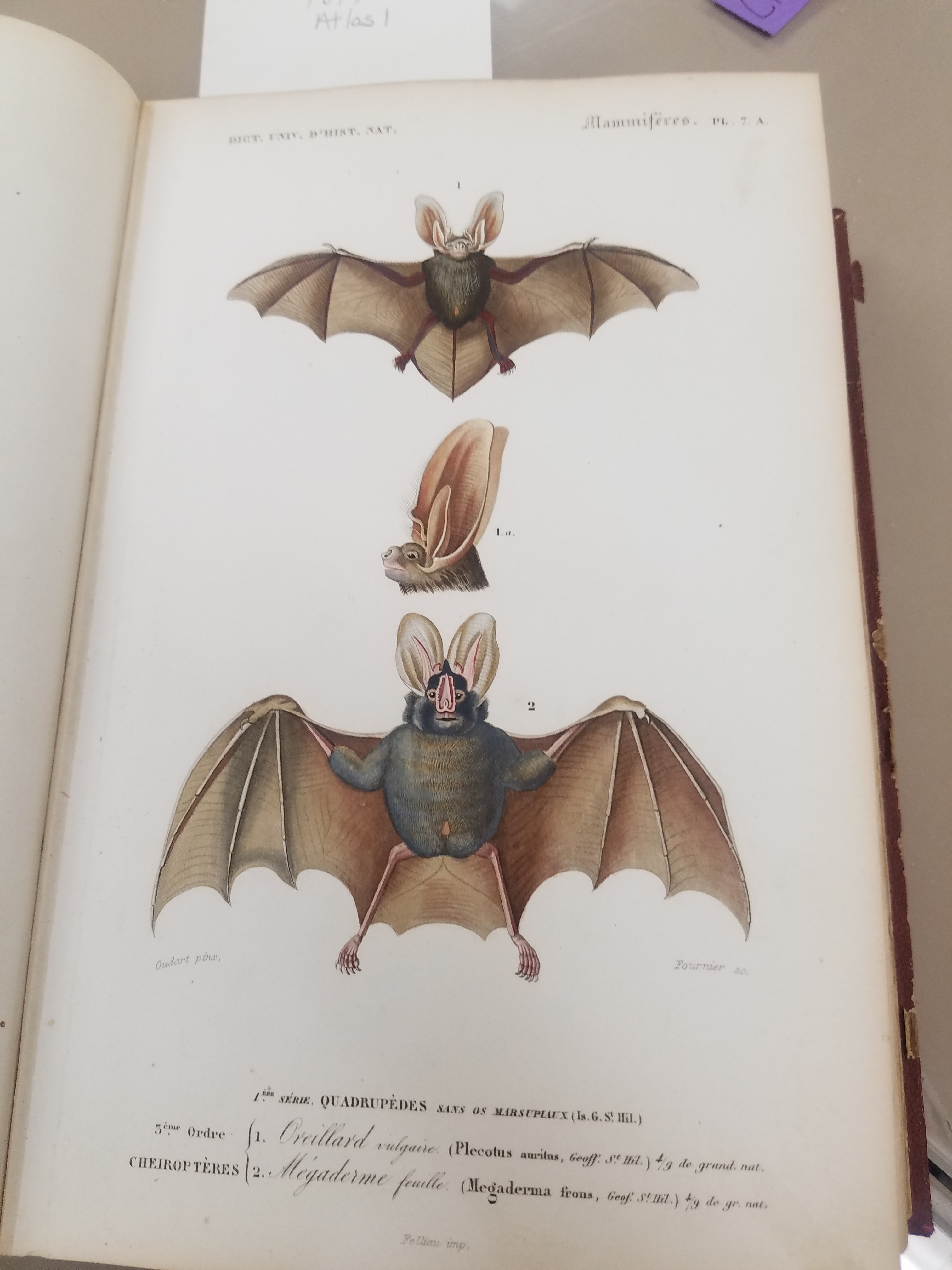
A fire at the Institut d’Egypte was rumored to have destroyed the original manuscript, but the volumes were recovered and restored safely. The collection that started it all, Napoleon’s savants’ Description de l’Egypte still survives! And we have a first edition copy here at the AGSL. The volumes are filled with beautifully colored engravings, particularly in Books 19 and 20, which cover Egypt’s natural history. The level of detail in the engravings is remarkable. This is an amazing piece of history that’s here in our library! Which, in its own way, is a sign that Egyptomania persists in the West– or at least it does here in the AGSL.
Salt of the Earth
By Lauren Maddox

Instagram has changed the way we vacation– our destinations don’t just need to look good in person. They also need to look good for the camera. This age of aesthetic vacationing has sent trendy tourists to the salt production operation in Las Coloradas, at the very tip of the Yucatan Peninsula. You’ve actually probably seen these pictures– pretty, bikini-clad women perched on flamingo pool-floaties drifting across the pink, uber-salt water of a man-made salt evaporation pond.
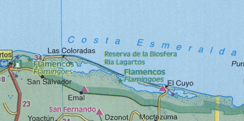
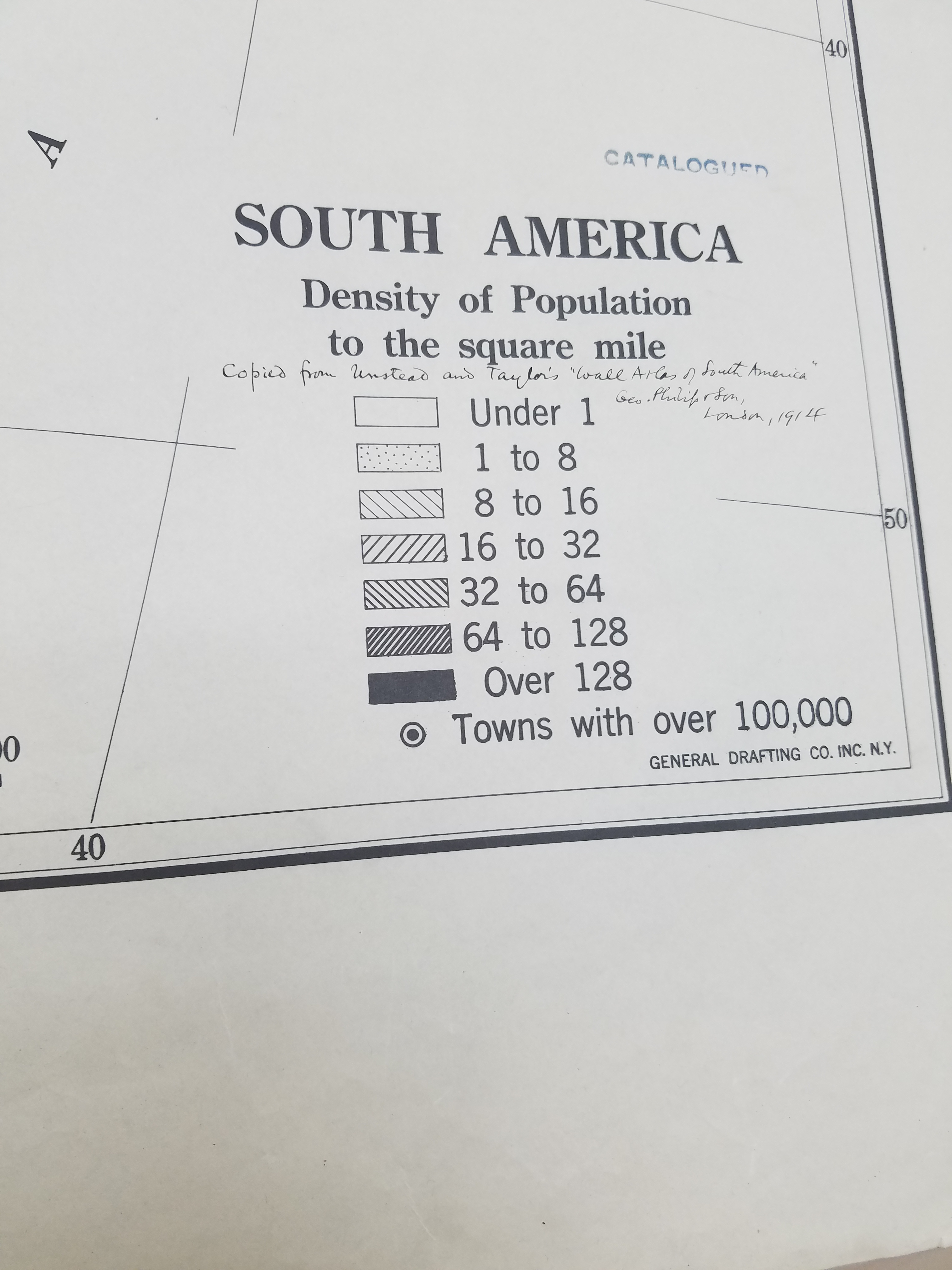
Detail of Los Coloradas 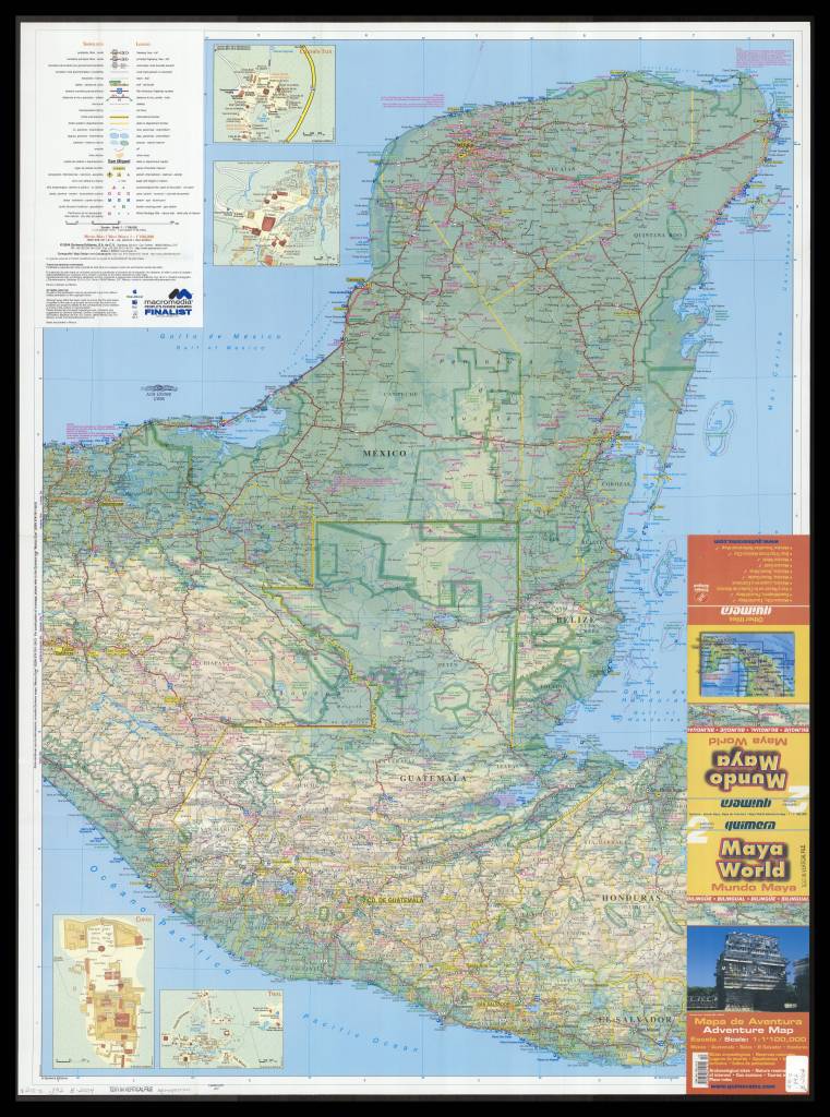
2004 Map of Yucatan. Click the link to see this map in our Digital Collections!
These places may not be as picturesque as millenial trendsetters make them out to be– in essence, the salt lakes at Los Coloradas are a step in an assembly line. They’re salt evaporation ponds designed to extract sea salt for table salt. Several different colors of salt are harvested from the lakes– though the lakes are actually pink because of the micro-organisms that thrive in highly salinated environments. But the flamingo habitat nearby still seems pretty on brand.
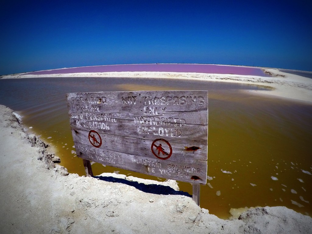
And because of the influx of tourists, the salt production plant has had to put fences around the lakes to keep people from swimming in them. You can still take a tour, but it’s not really the same without the novelty pool-floaty. The ponds aren’t dangerous to swim in, but if you had scratches, it would be a pretty unpleasant and unrefreshing dip in the pool. And this is a food production facility– people swimming in the lakes does seem like a contamination concern.
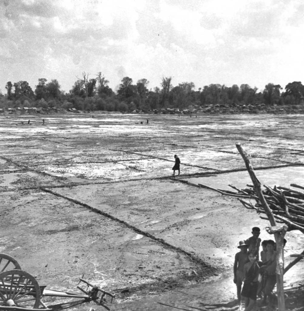
Roi Et Province in Thailand, 1940. Families turned natural brine into salt using evaporation. Click the link to see this photo in our Digital Collection!
But besides being a great photo-op, salt evaporation and collection has been a center of civilization since antiquity. The oldest known towns in Europe were centered around salt production because salt allowed for the preservation and trading of food across longer distances. The ancient roads that all lead to Rome were first used to transport salt back to the city from the empire’s many, saltier territories. Salt made other ancient empires like Egypt and China stable and prosperous, which created opportunities for technological advancement. And salt’s deep connection to the beginnings of civilization is still visible today– the word salary is derived from the Latin word for salt, English towns with names ending in -wich were named for their connection to salt production, and now Instagram influencers can pose with modern salt production facilities for the aesthetic.
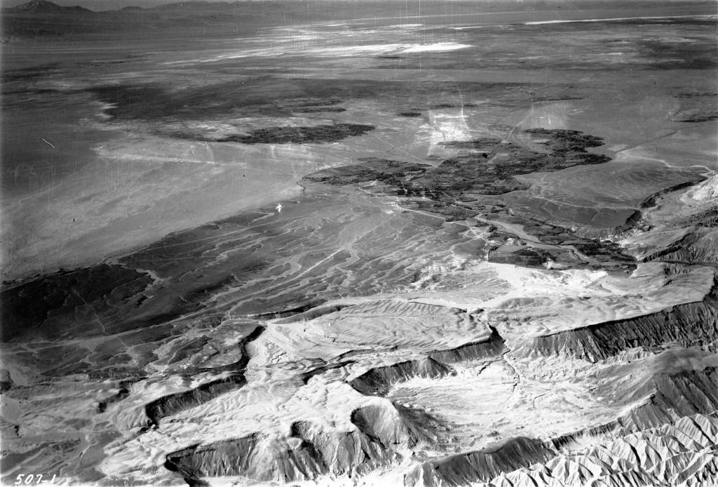
The Salar de Atacama Salt Flat in San Pedro de Atacama, Chile. From Mary Light Leader and Dr. Leaders 1937 Collection of photos. Click the link to see this photo in our Digital Collections!
Now salt is pretty cheap– most people have to worry about eating too much salt. But salt production, and the old methods of salt harvesting, are still a key global industry. And a great backdrop for your vacation pics (with the facility’s permission).
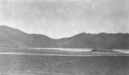
Salar del Rincon in Argentina, from Isaiah Bowman’s 1913 Expedition to the Central Andes. Click the link to see this photo in our Digital Collections!
GIS Day 2019
By Lauren Maddox
It’s that time of year again– happy GIS Day 2019! Well, actually, GIS Day will be tomorrow, Wednesday November 20th. UWM will be celebrating the global event with their own GIS Day program. GIS Day is an opportunity for those of us who are interested in learning about geography and GIS technology to come together with a community of other GIS learners and explore GIS. Anyone interested is encouraged to register for the day’s program and the workshops they would like to attend for GIS Day 2019! Workshops and tours of the AGSL will be offered throughout the day from 9 a.m.-4 p.m. Keynote speaker Dr. Ryan Covington will be giving a talk about “Navigating Geospatial Technology in 2020 and Beyond” over lunch. A complete program of events is available at GIS Day’s UWM webpage. We hope you will join us in celebrating GIS Day this year!
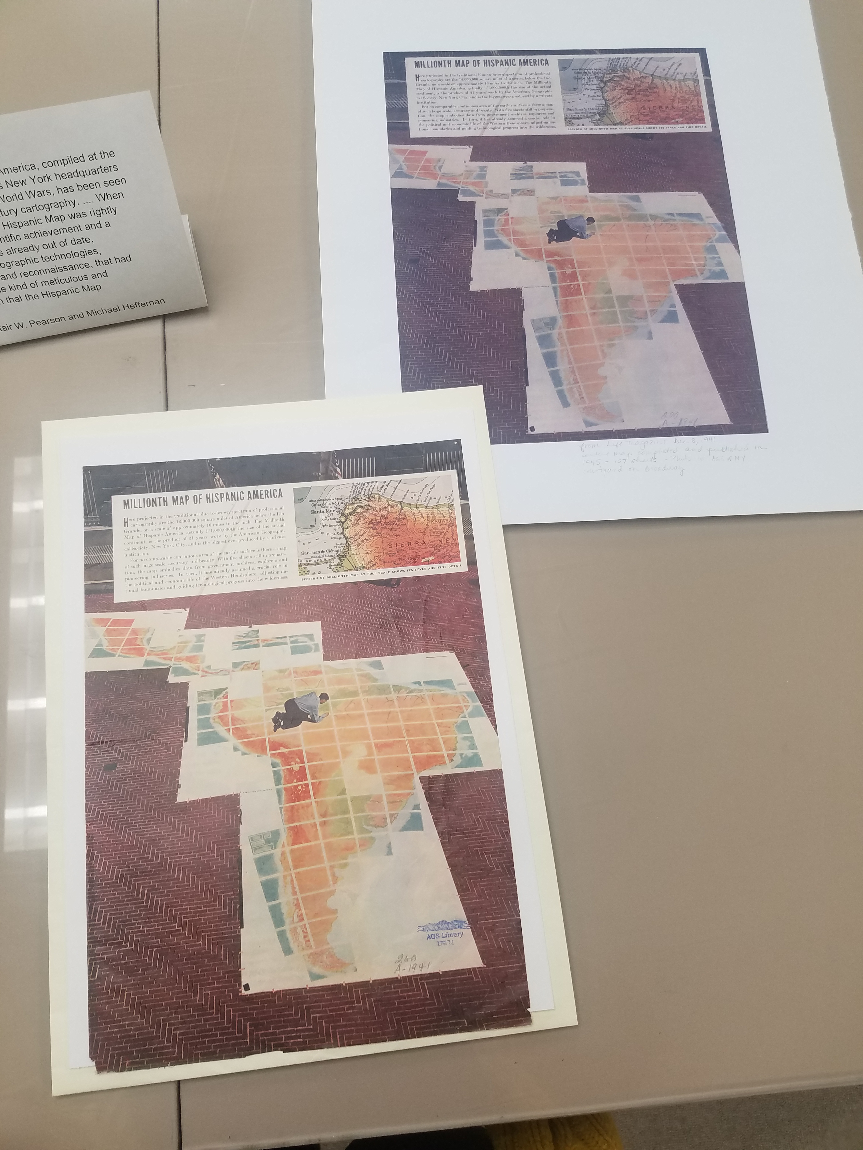
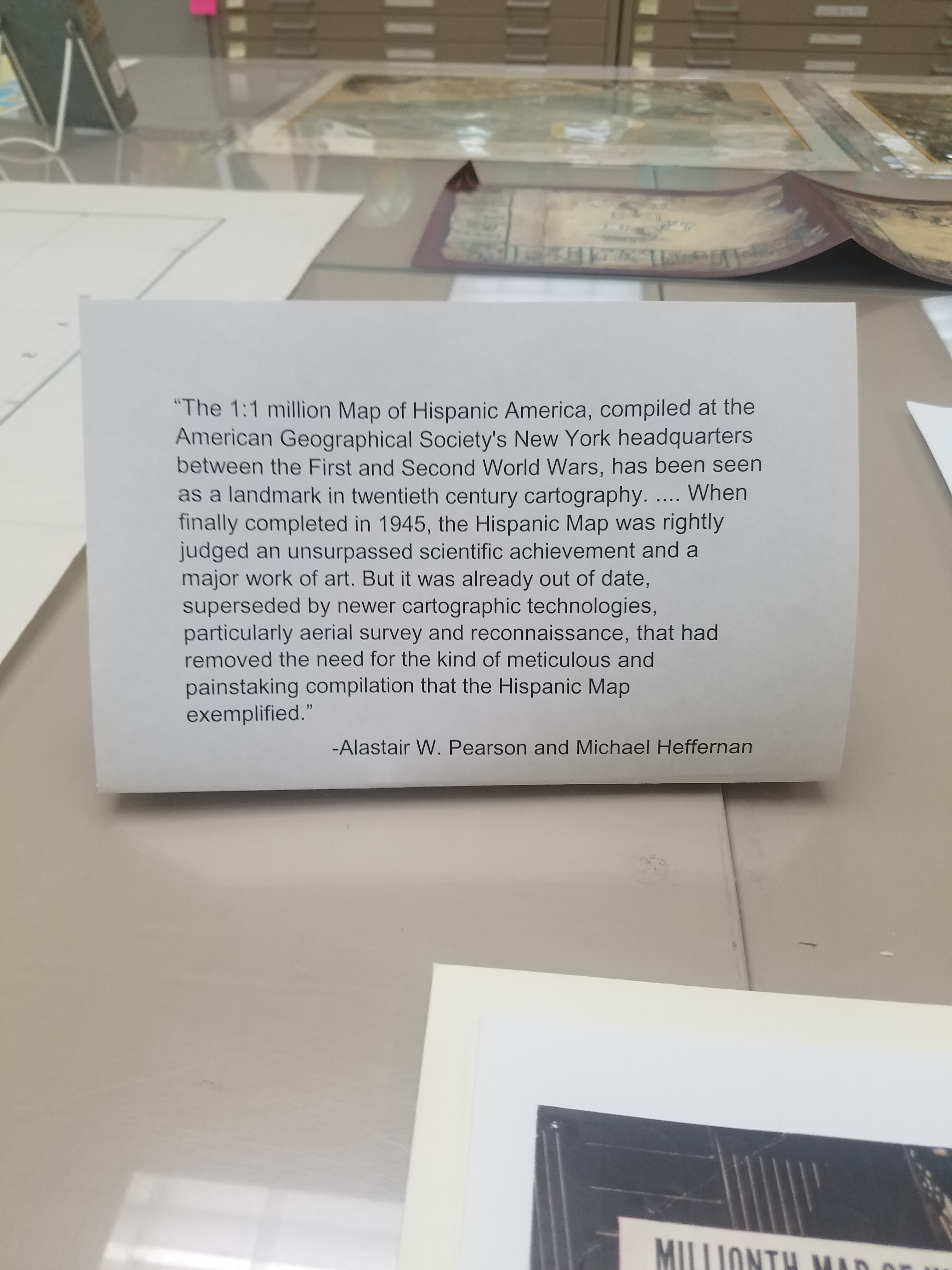
20th Nebenzahl Lectures: The AGSL Goes to Chicago
By Lauren Maddox
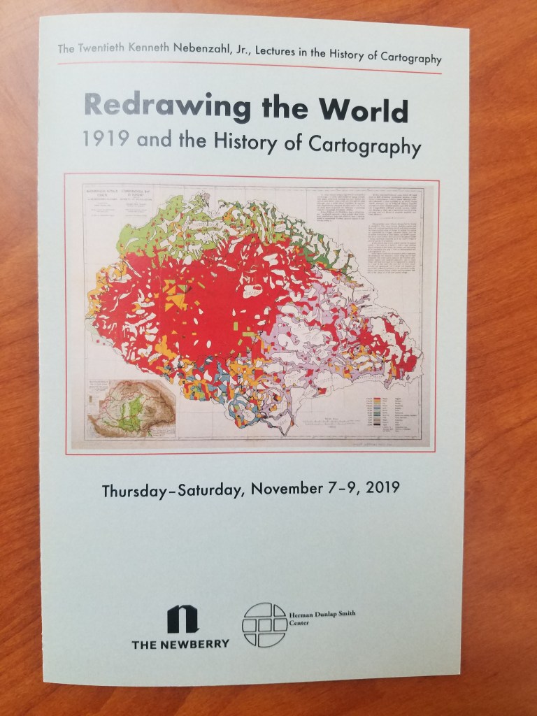
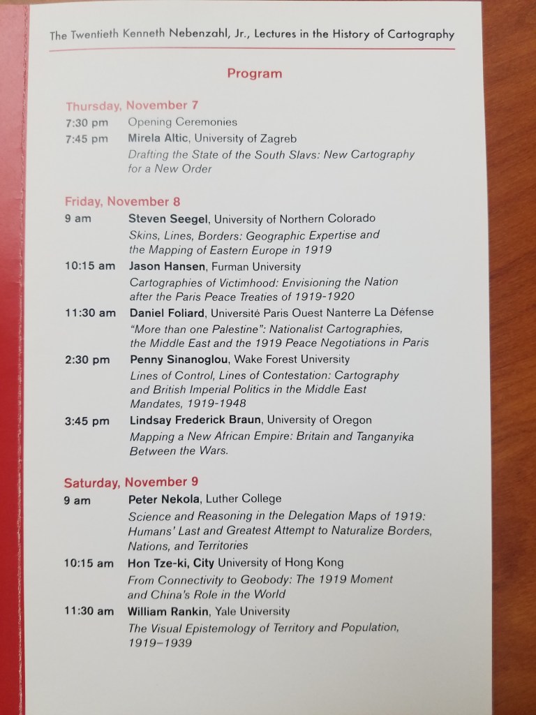
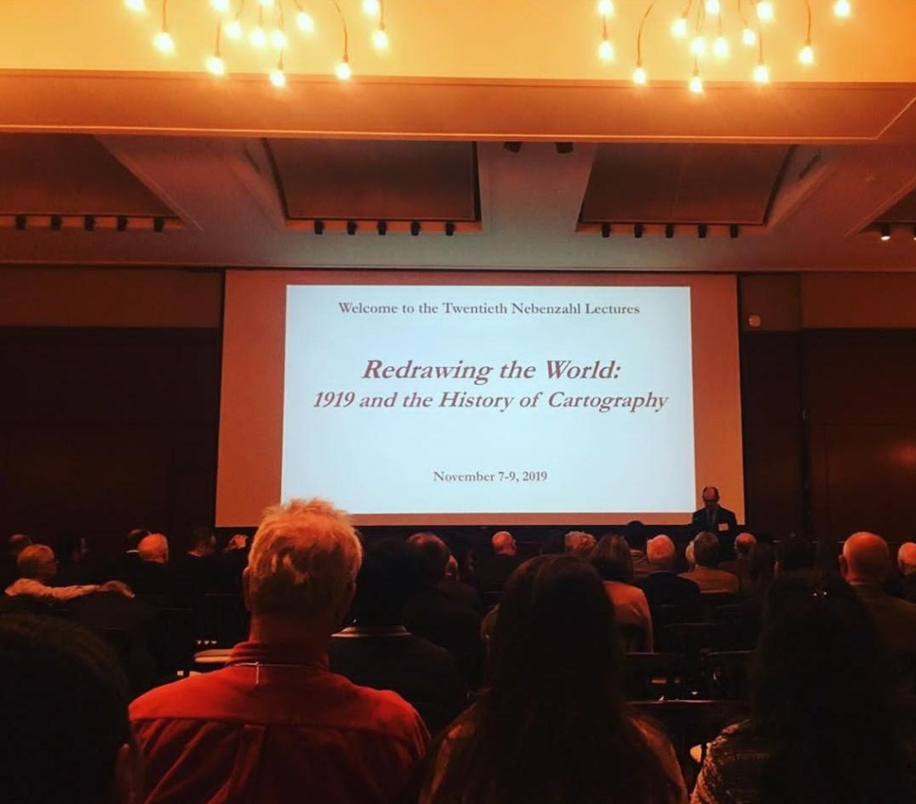
Last weekend was the 20th Nebenzahl Lectures that are held every few years at the Newberry Library in Chicago. The 2019 year’s theme was “Redrawing the World: 1919 and the History of Cartography”– which, as you can imagine, was a very exciting topic for staff at the AGSL. The lectures were held over three days and featured 9 different scholars including organizer Dr. Peter Nekola.
On Thursday, attendees visited the AGS Library and enjoyed a presentation by Curator, Marcy Bidney and viewing an exhibit highlighting the role of the AGS at the Paris Peace Conference following WWI. Besides providing thousands of maps, atlases, books and nautical charts from the AGS Library, which were shipped to France for use by the American delegation, the AGS building and its staff were involved in the work of the so-called “Inquiry” which preceded the actual Conference. Starting in November 1917, a team of geographers, historians, regional experts and cartographers worked in secret at the AGS headquarters building, drawing on the library’s vast resources to produce reports and maps for the American negotiators to use at the Peace Conference.
Many of the presenters at the conference, referenced resources held at the AGS Library and used in their research.
AGSL staff: Marcy Bidney, Curator ; Jovanka Ristic, Reference Librarian ; and student interns Georgia Brown and Katie Bischof attended the Lectures in Chicago. The Lectures focused on the 1919 map production boom and how cartographers helped forge the uneasy peace at the Paris Peace Treaties. Particular topics included “Mapping a New African Empire: Britain and Tanganyika Between the Wars” presented by Lindsay Frederick Braun and “Cartographies of Victimhood: Envisioning the Nation after the Paris Peace Treaties of 1919-1920” presented by Jason Hansen. The Lectures were an exciting reason to visit Chicago and the AGSL was proud to participate.
How Does Your Garden Grow? Imagining the Cemetery
By Lauren Maddox
As Halloween comes and goes, our minds drift to the dark and the macabre–we can’t help but think about spooky skeletons, werewolves, witches, ghosts, and vampires or about what those figures really represent to us: death. Death isn’t something people like to think about very much. America, in particular, has always held death at arms length with only squeamish acknowledgement.
The Church began to regulate burials around the 7th century across Europe–rituals for the dead and dying became increasingly Christian, and burying bodies in consecrated ground became an important tenant for dealing with the dead. In these early days of Christian burial, bodies were buried in mass graves so that the bones could be exhumed and stored in ossuaries in the walls of the church. But, due to lack of space, eventually bodies began to be buried in the church yard. Graves would be marked with simple stones, or is some cases, wooden crosses, unless the family was able to afford a more complicated memorial for their loved ones.
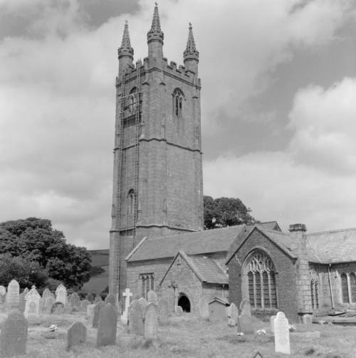
St. Pancras Church in Widecombe-in-the-Moor, England from the Clarence W. Sorenson Collection. Click the link to see this photo in our Digital Collections!
The churchyard grave was thought to be a place under the protection of the Church– it was a safe place where loved ones could be guaranteed to pass into an easy afterlife. But as populations boomed and the Industrial Revolution’s dangerous growth and unadulterated industry began to accumulate a body count, the ideation of the churchyard began to change. Instead of being a place where one might visit their loved ones and feel comforted by their presence, they became places in which disease festered and spread. Floods would unearth the recently buried and rain that passed through the churchyard might become contaminated. The proximity of the churchyard burial ceased to be a comfort and became a source of anxiety too-close-to-home.
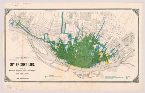
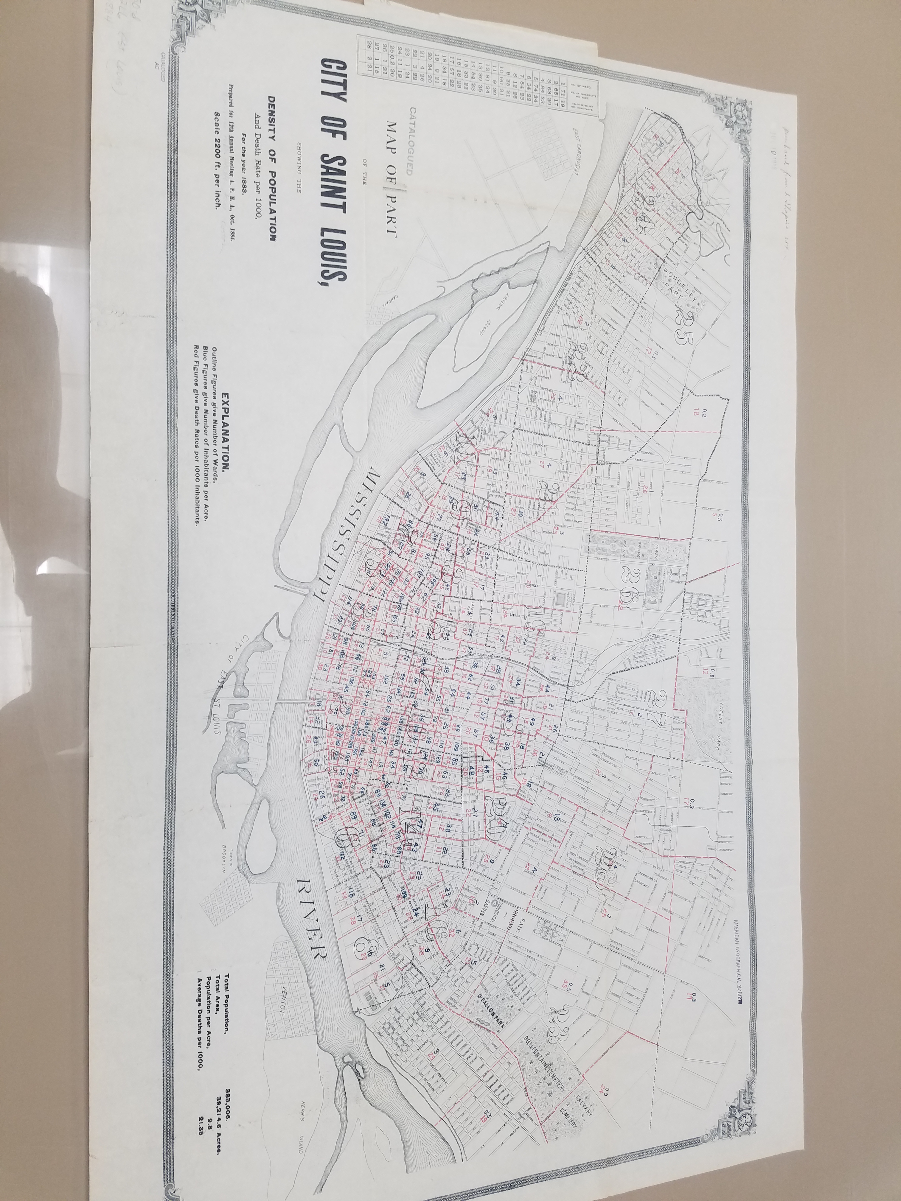
Map of St. Louis, MI in 1884. Click the link to see this map in our Digital Collections! 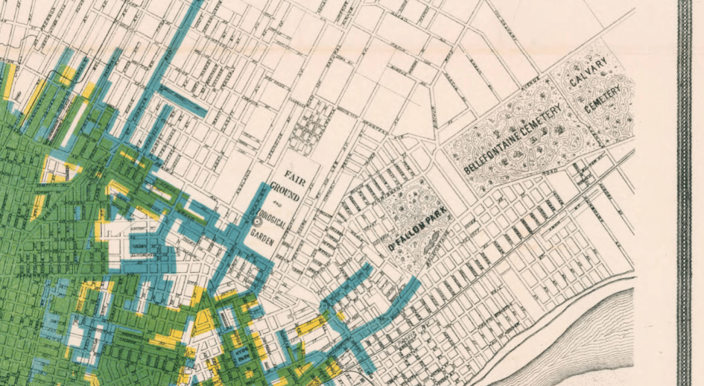
Detail from 1884 Map of St. Louis featuring the Bellefontaine Cemetery and the Calvary Cemetery.
Because of this, in the 19th century, the cemetery moved out of town. Death was an upsetting reality to have in your backyard for Americans, so cemeteries were moved away from the populated areas of the city and from the water supplies for the city. And, in a final symbolic gesture, cemeteries were gated to show that they were no longer part of the world of the living. Looking at these two late 19th century maps of St. Louis and Philadelphia, you can see how far out of town the cemeteries were moved for the safety and peace of mind of the living.
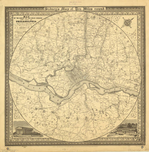
1847 Map of Philadelphia including multiple cemeteries. Click the link to see this map in our Digital Collections!
But, ironically, the cemetery also became like a public park. According to Keith Eggener, author of Cemeteries, cemeteries were free oases where people could escape the hustle and bustle of their city lives. People would bring picnics, bicycles, take strolls, and use the cemetery as a brief respite from daily life. They became immensely beautified– the cemetery was not only important as a place that separated the dead from the living, but also as a place that the living could visit at their leisure and leave again when they were satisfied.
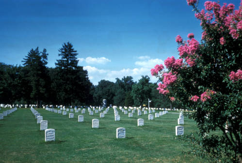
Arlington National Cemetery from the Harrison Forman Collection. Click the link to see this photo in our Digital Collections!
We might be a little more comfortable with our cemeteries these days, but they’re still not going to be our ideal afternoon spot. But during Halloween season, when death is on our minds, it’s important to remember our relationship to the place where spooky skeletons and vampires reside. And maybe accept that those scary figures are pretty harmless– Savannah’s Bonaventure Cemetery is a beloved tourist destination, where people go to see the beautiful parks. But, remember– always “keep your distance, remain quiet and show respect for the dead.”
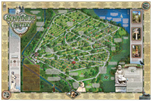
Illustrated Map of Bonaventure Cemetery in Savannah Georgia, 2016. Click the link to see this map in our Digital Collections! 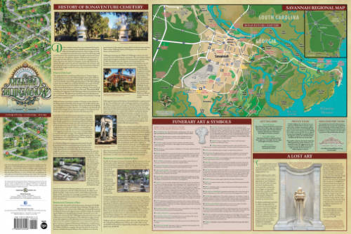
History of Bonaventure and Additional Information.
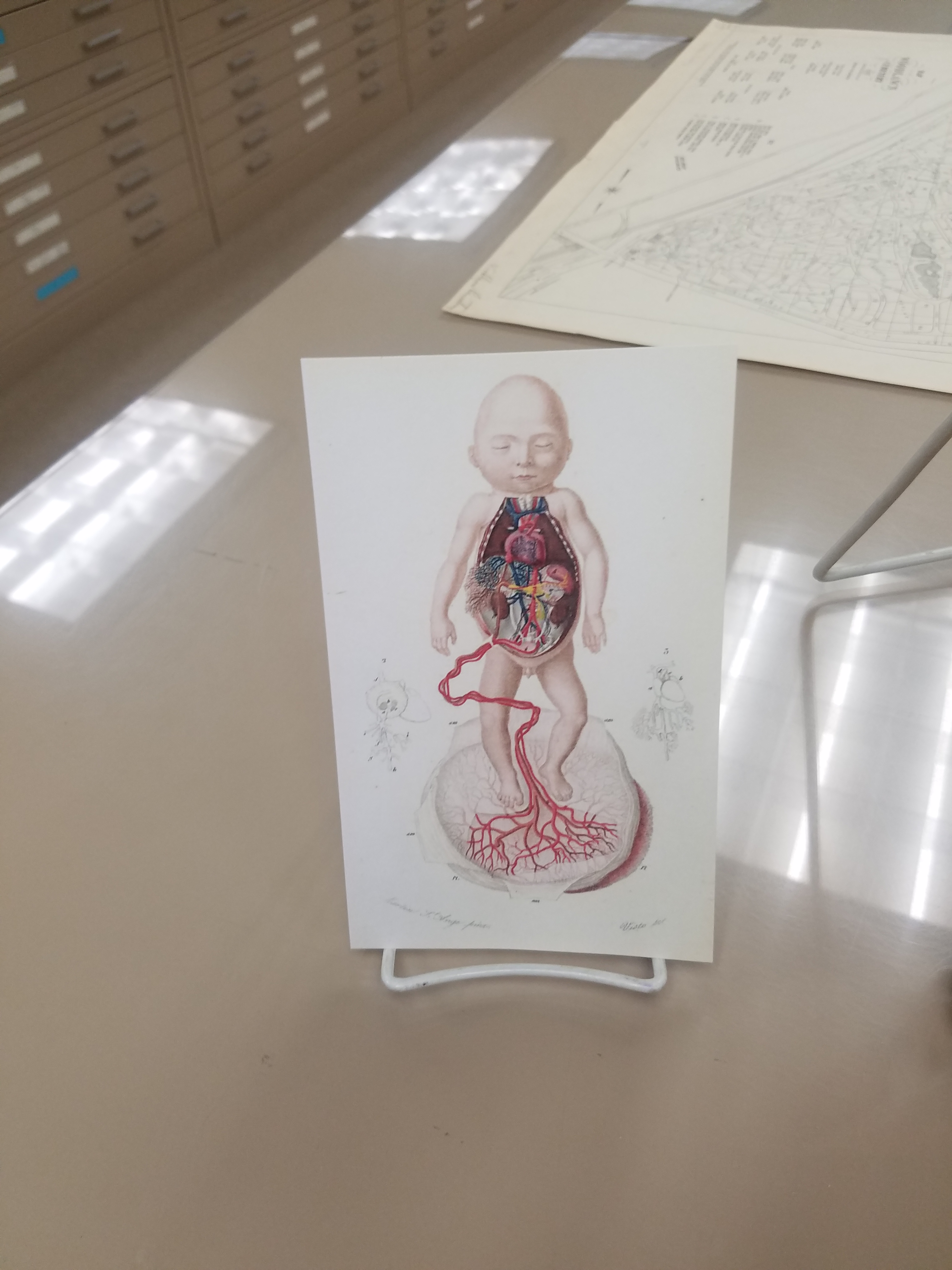
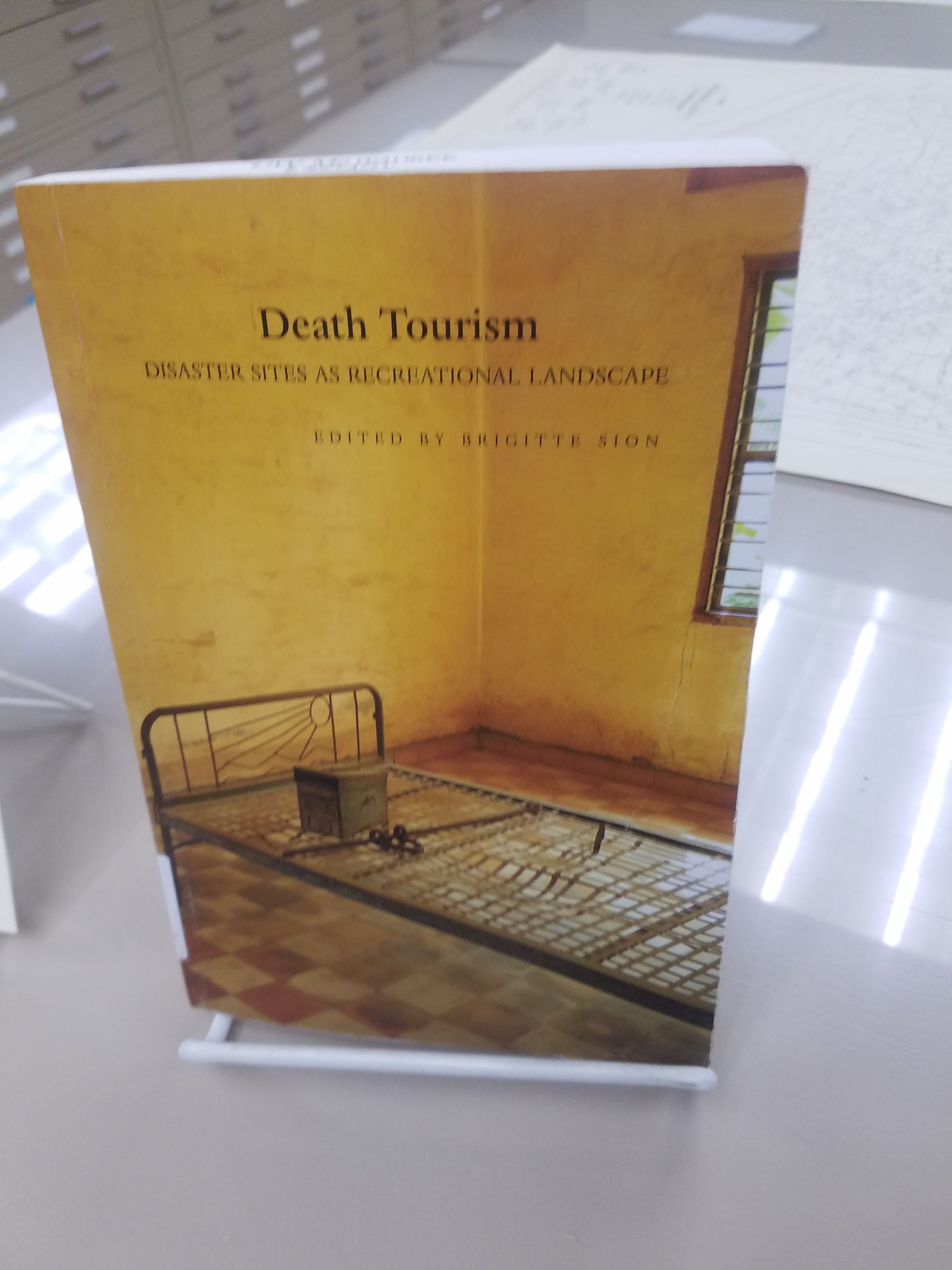
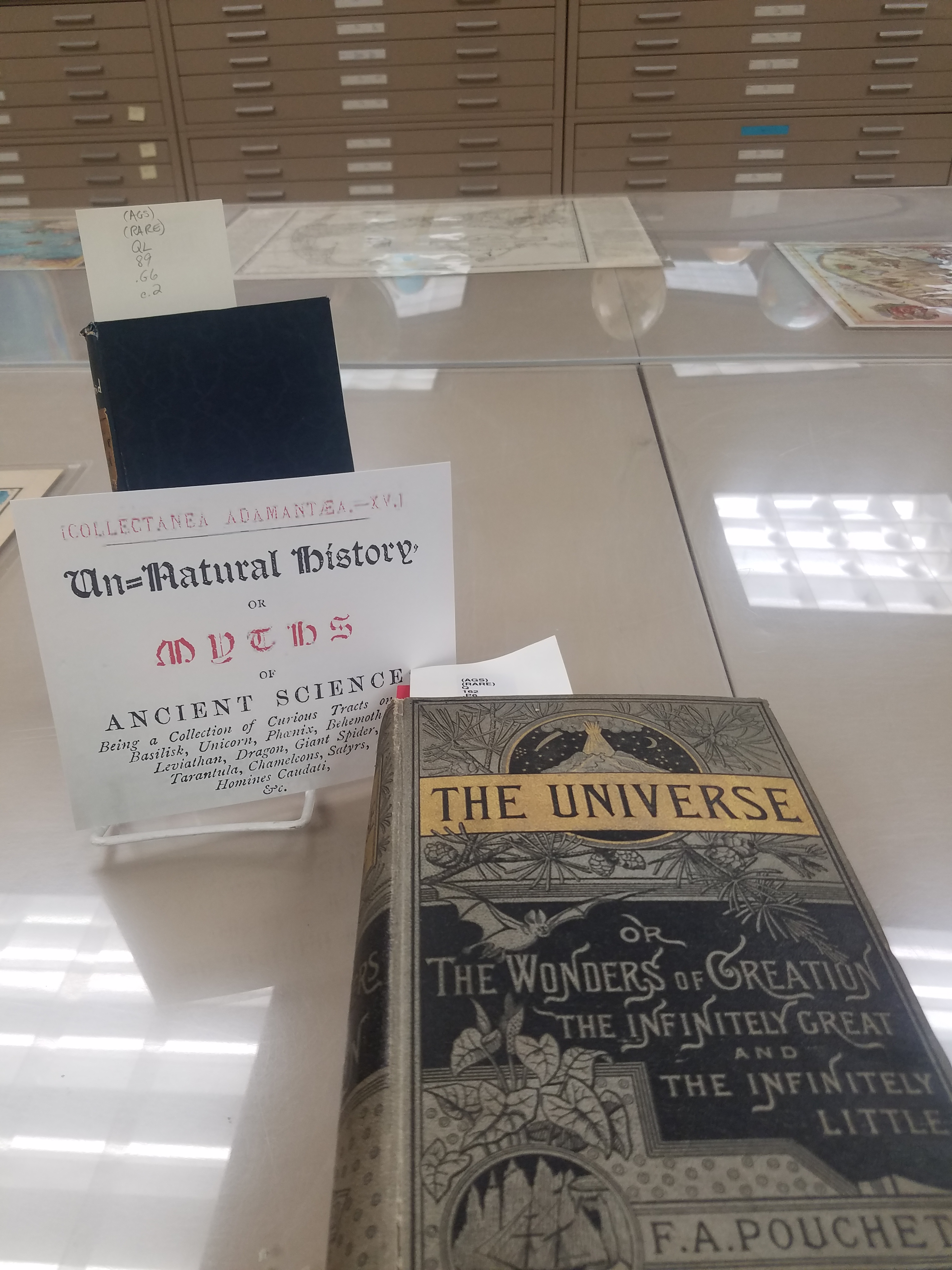
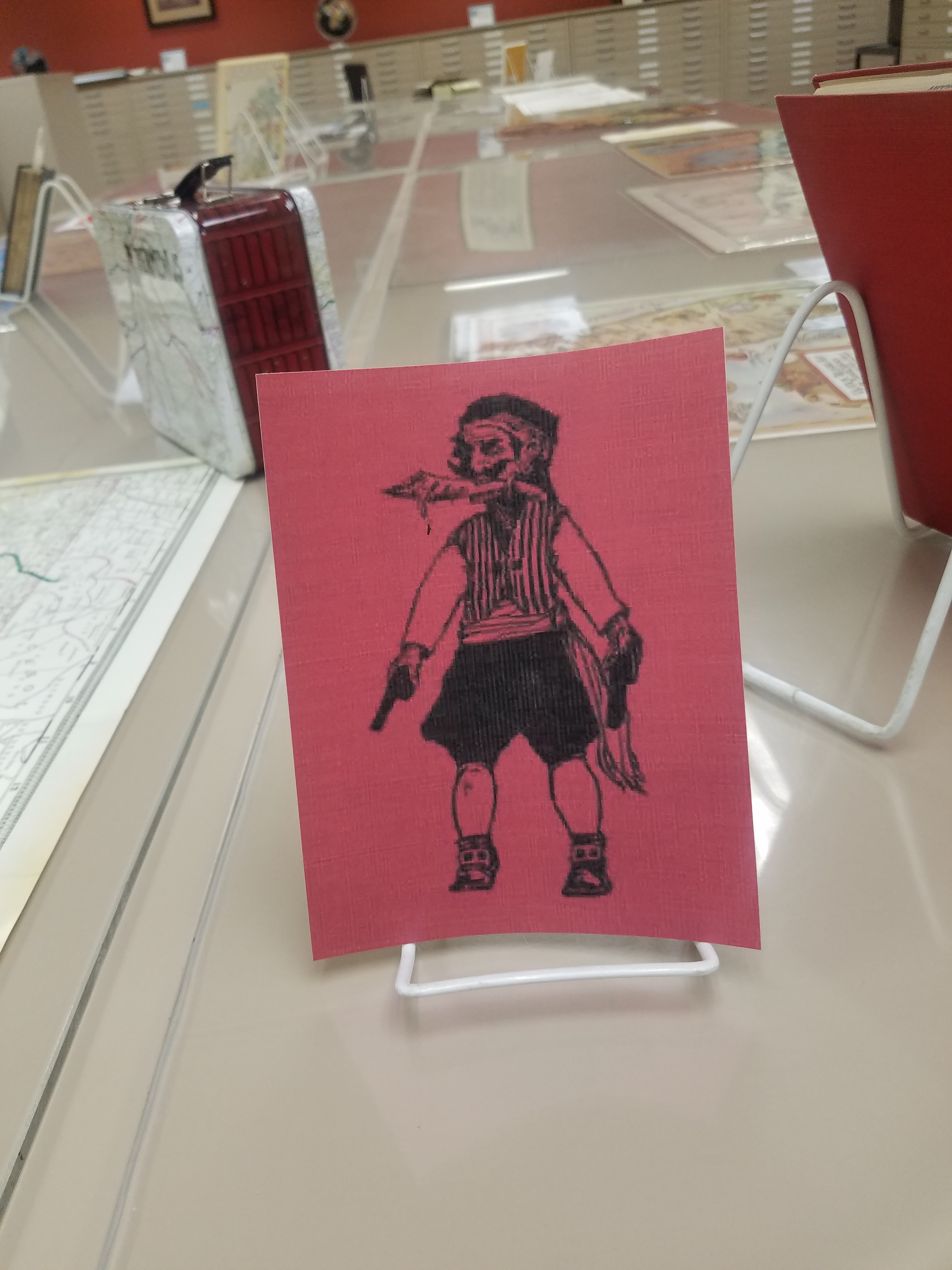
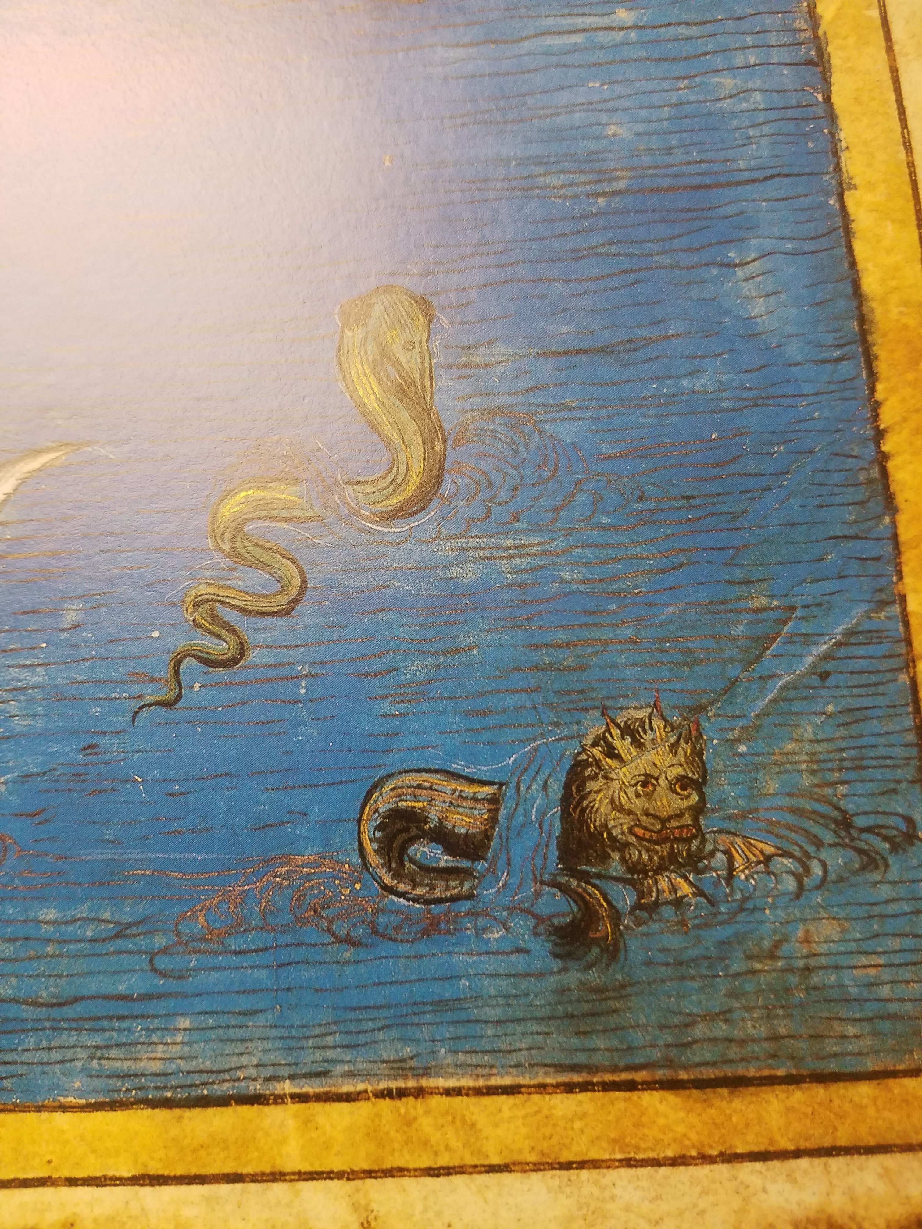
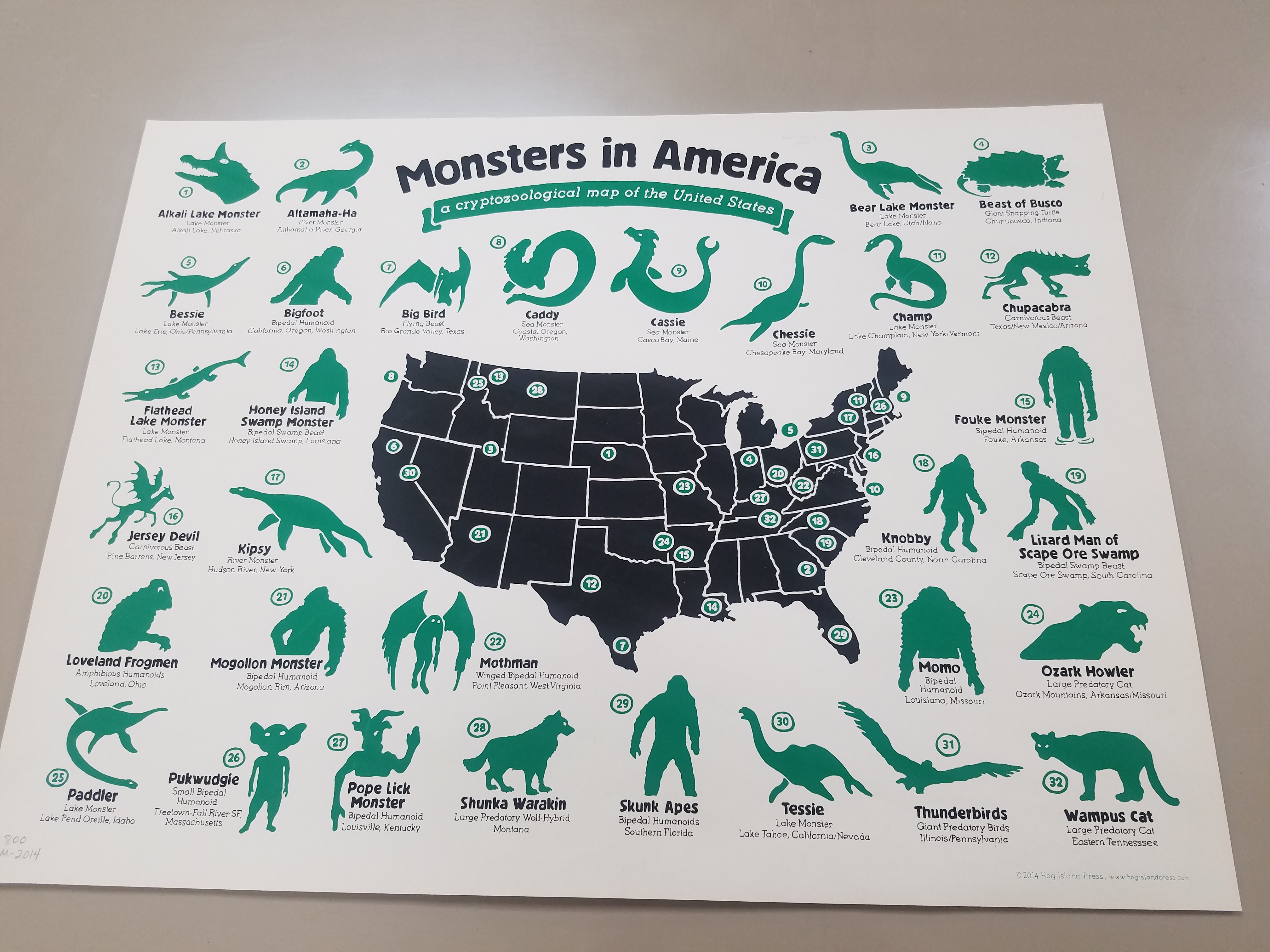
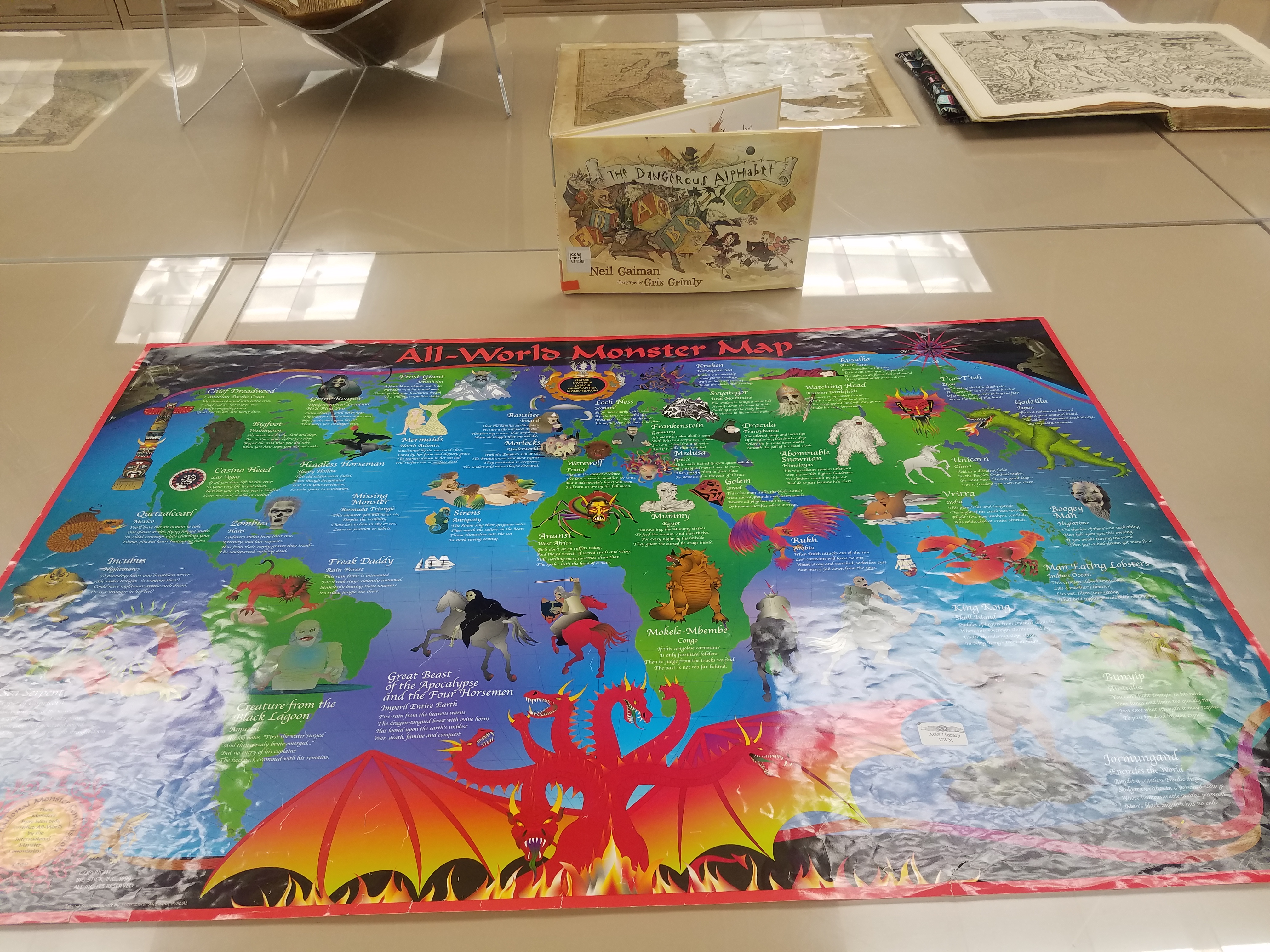
October Pop-up Exhibit
By Lauren Maddox
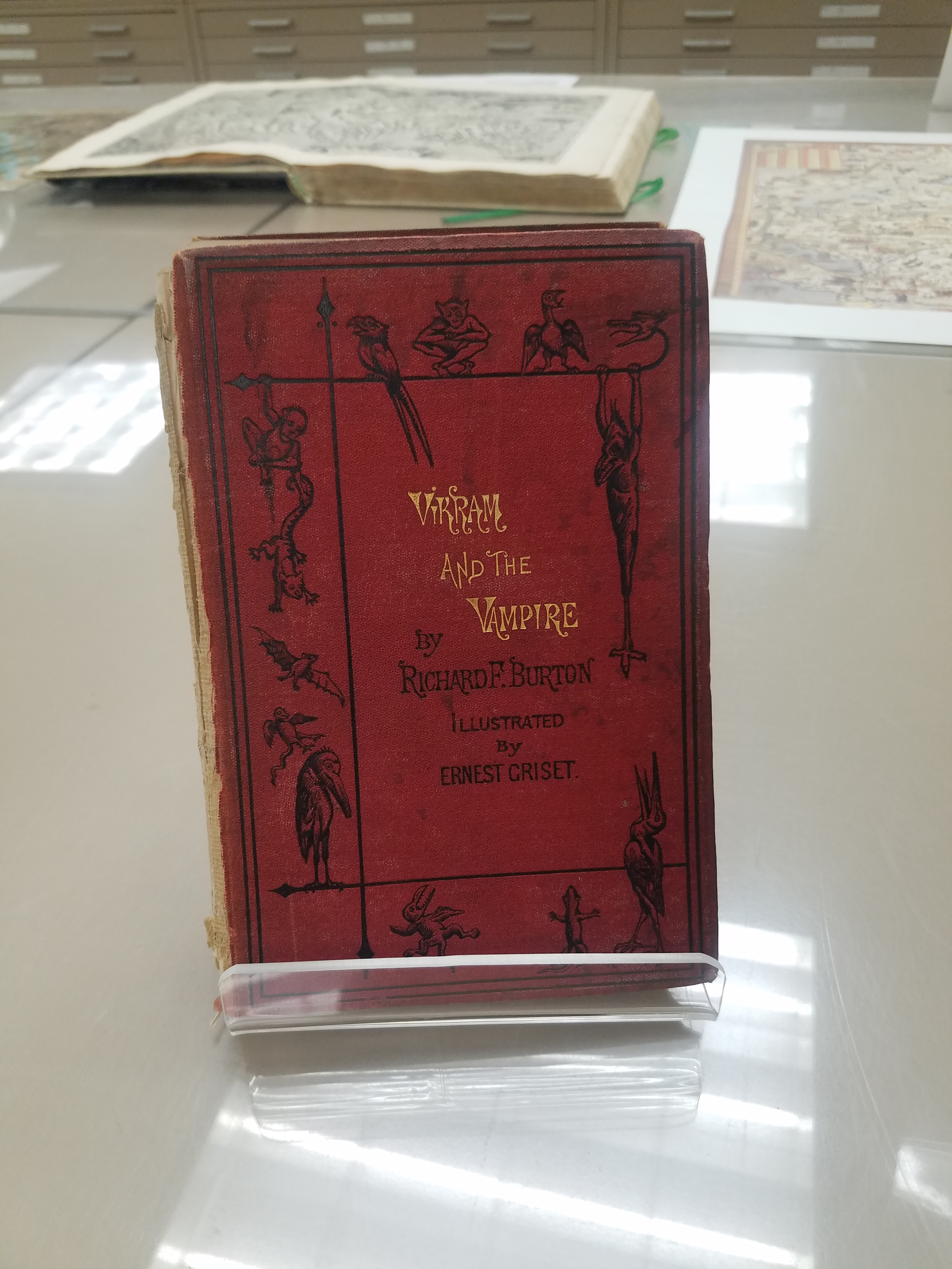
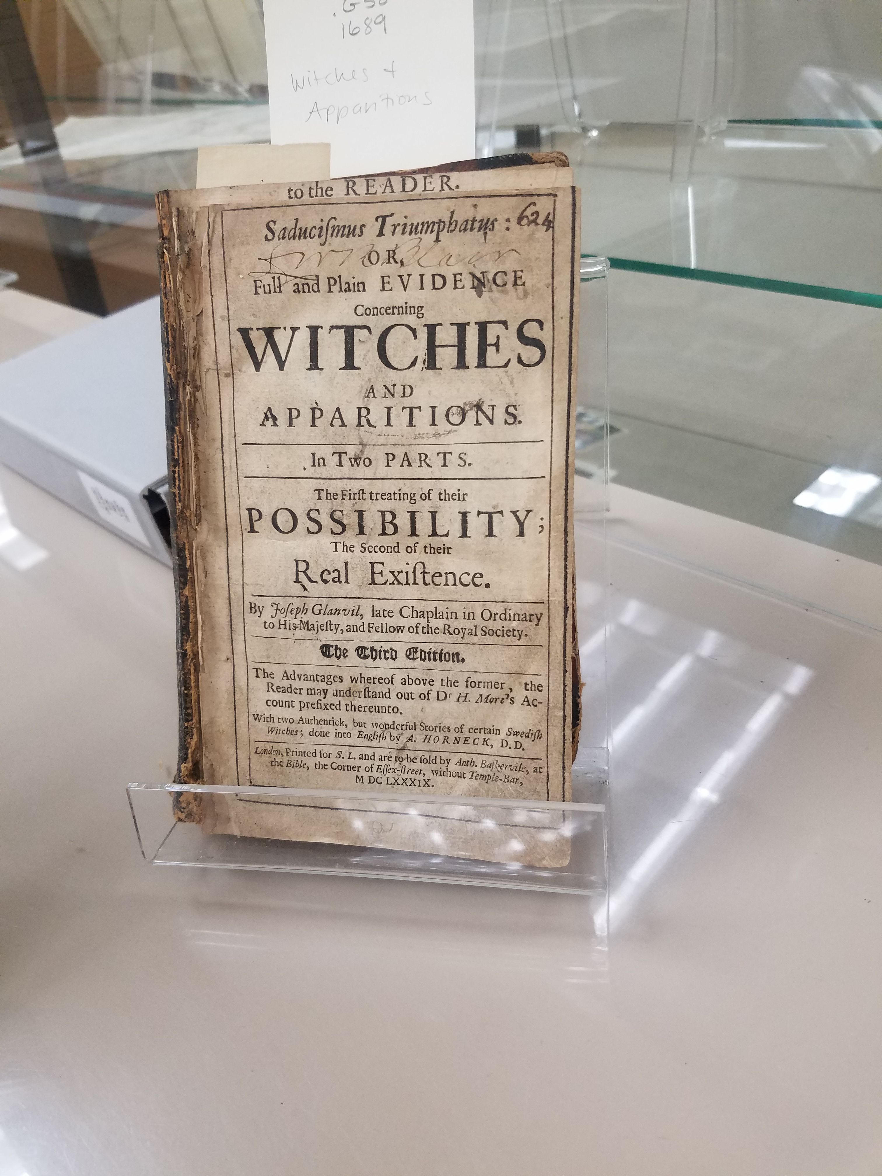
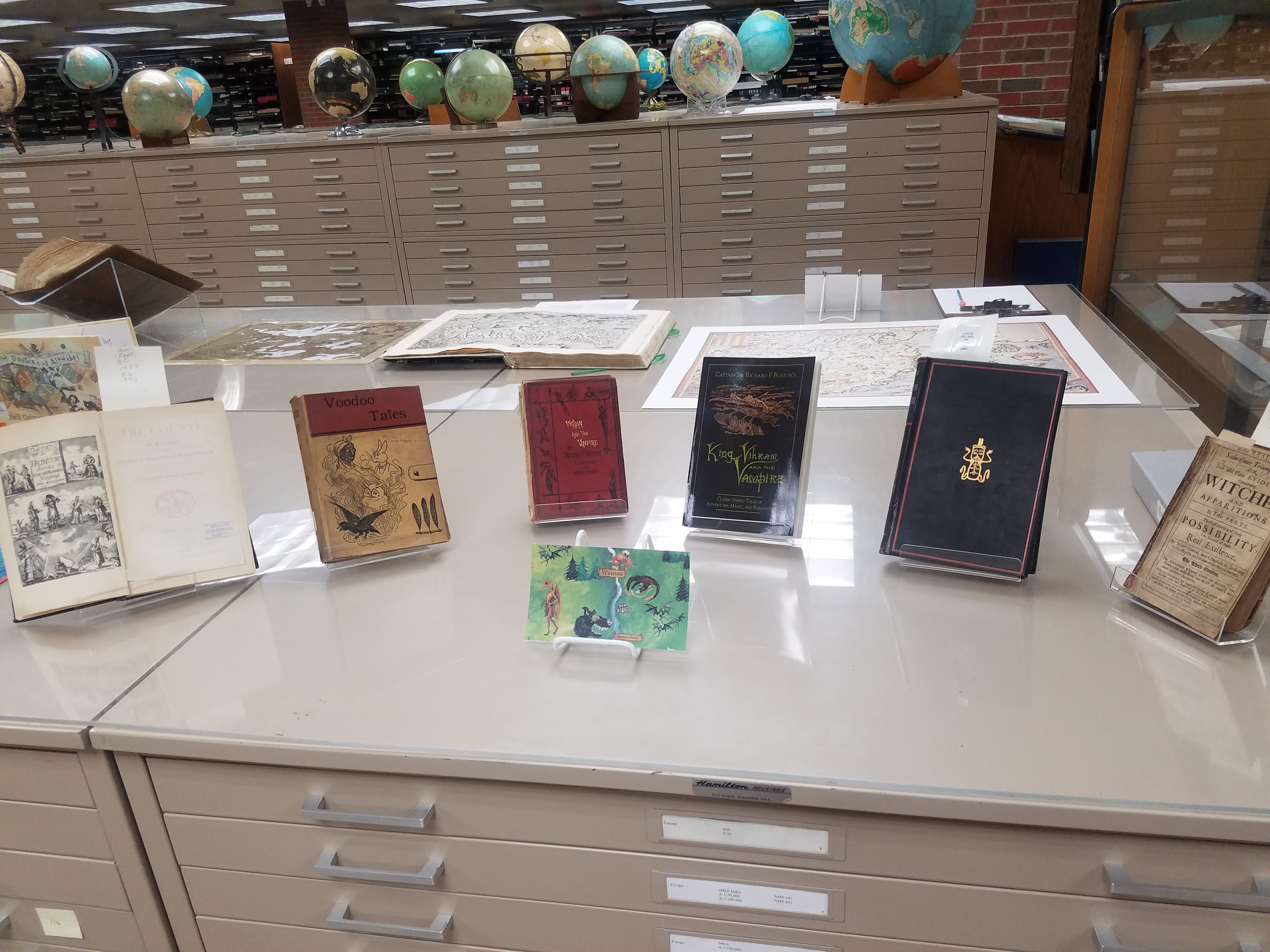
Happy Halloween! This month, the AGSL, UWM Archives, and Special Collections collaborated on another Pop-Up Exhibit! The official exhibit ran from October 23rd-25th and included specially curated pieces such as wood engravings of Mary Shelley’s Frankenstein by Barry Moser and many more spooky, scary artifacts! Well, you may have missed the full Pop-up Exhibit but don’t despair! There’s still time to see the hair-raising picks put out by the AGSL for the pop-up– our exhibition materials will stay on display until after Halloween! Peruse our collection; you may find sea monsters, witches, and haunted cemeteries– and if that doesn’t scare you, stay tuned for next week’s post which will feature some of the most spine-chilling, blood-curdling maps from this month’s Pop-Up!
The AGSL is open to the public Monday through Friday, 8 a.m. to 4:30 p.m. Come see us and the Halloween Pop-up Exhibit while you still can!
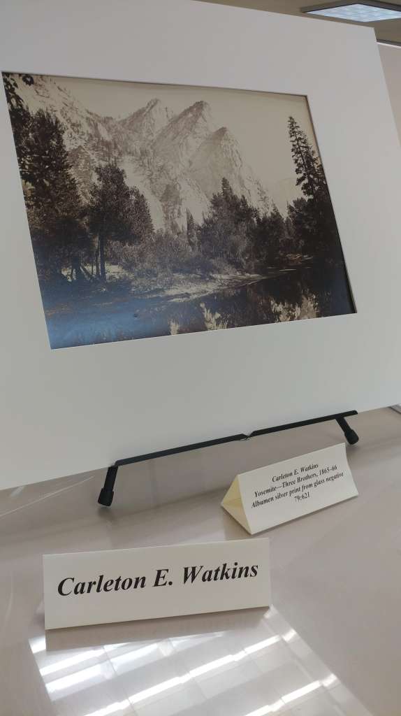
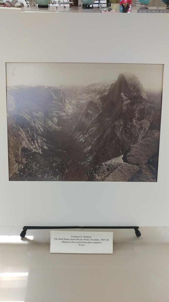
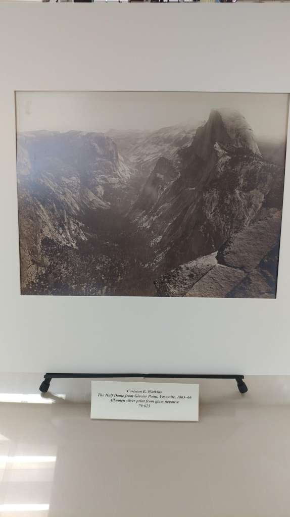
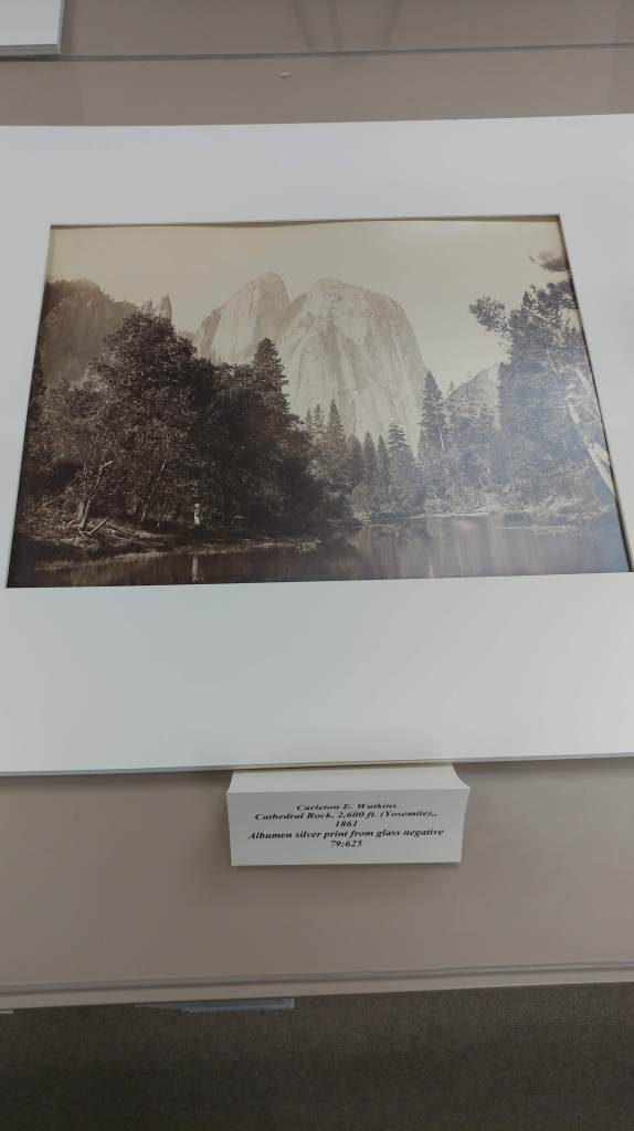
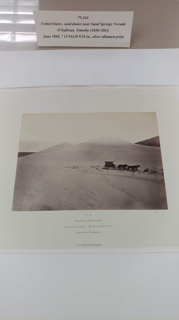
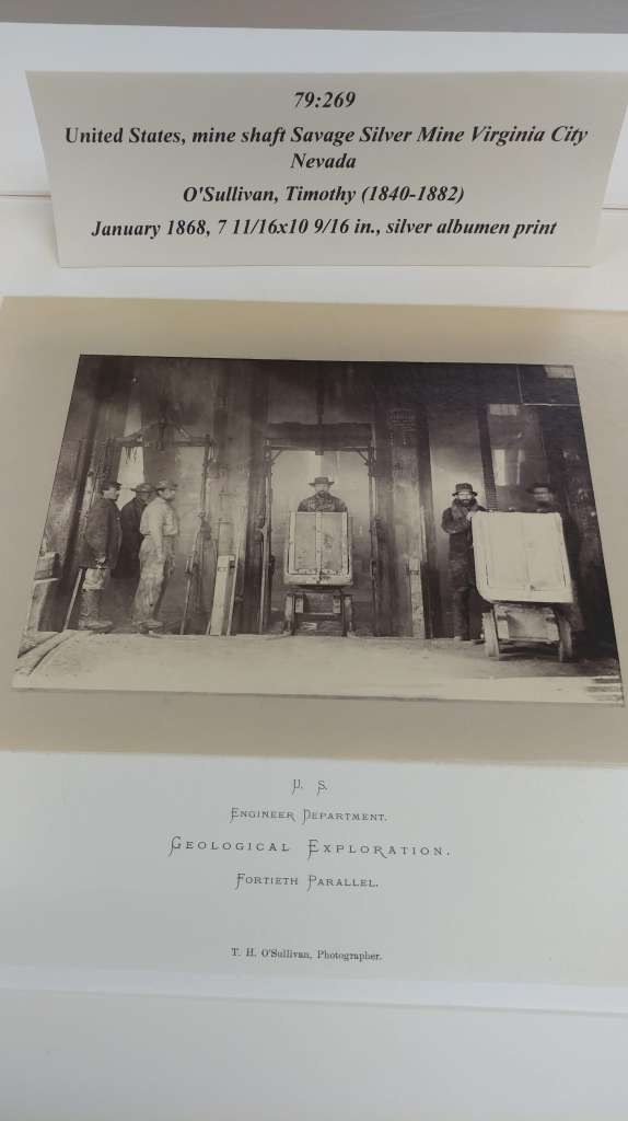
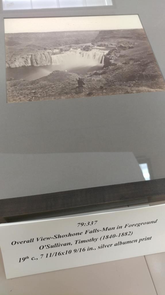
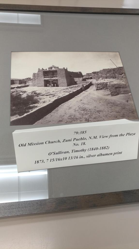
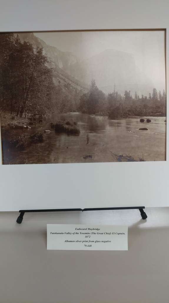
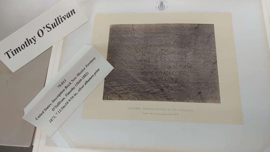
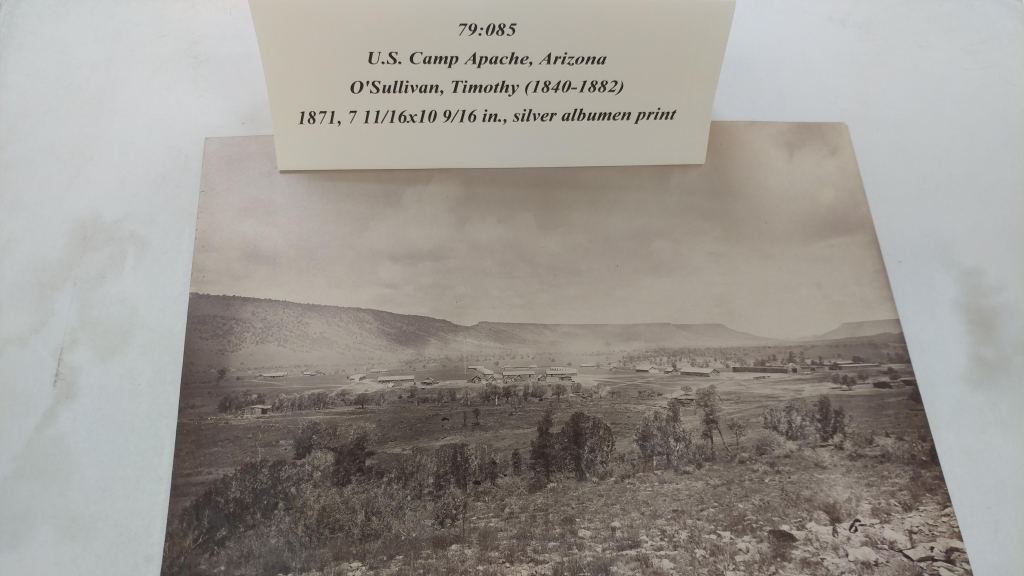
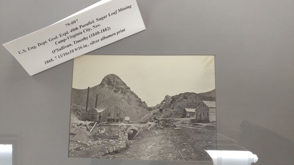
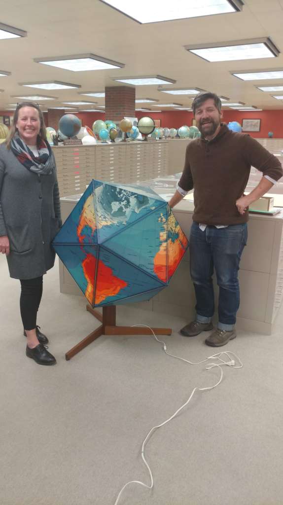
Western Photograph Collection
by Angie Cope
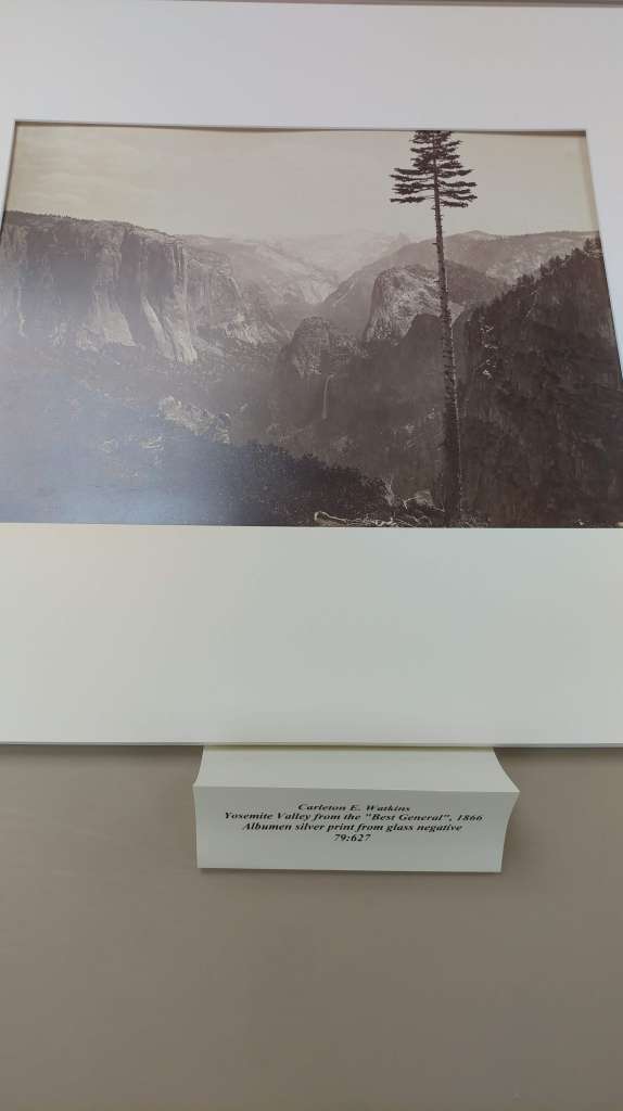
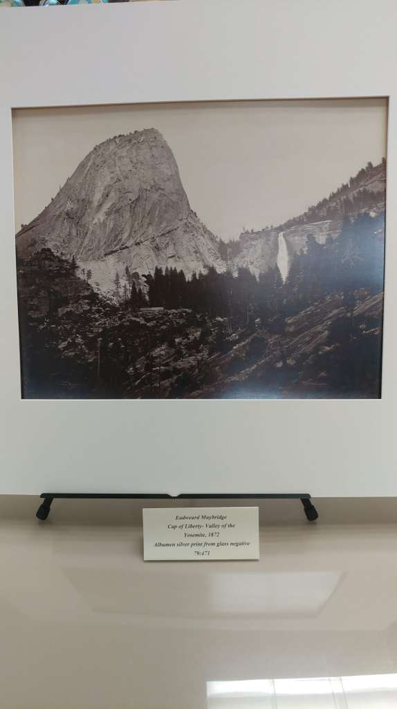
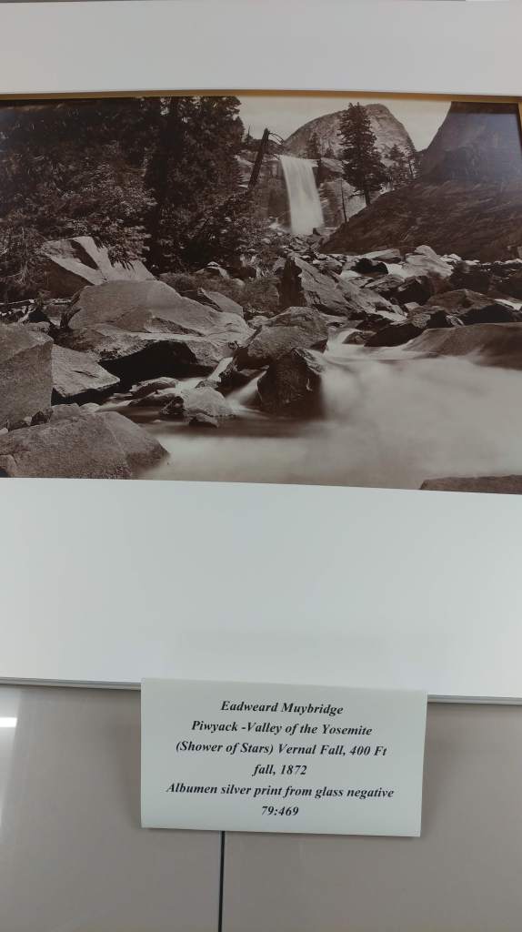
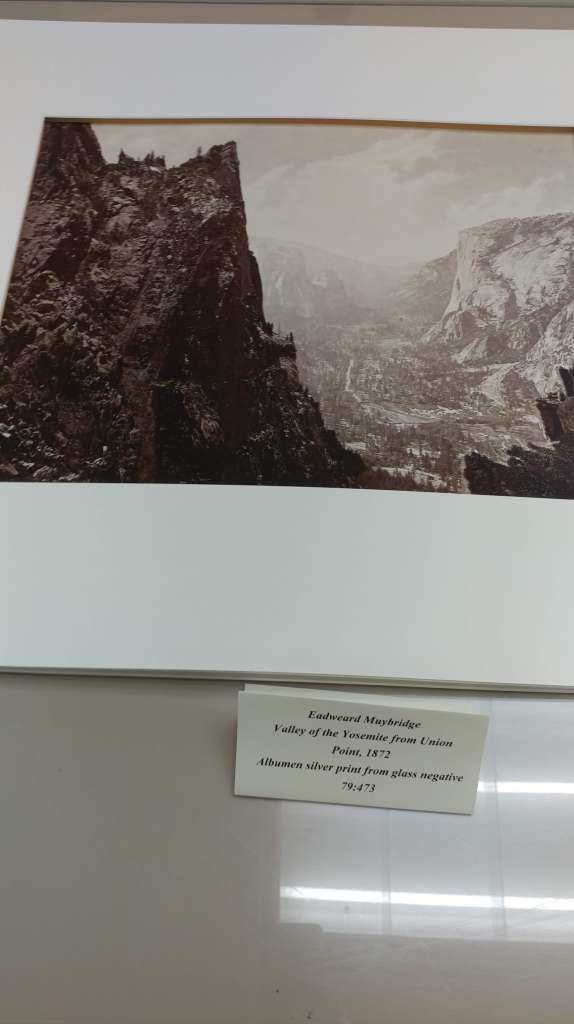
The AGS Library has a collection of albumen prints and stereoscopic slides by the photographers of the four great western surveys. These works include: 64 prints by William Henry Jackson, photographer with the Hayden Survey of Yellowstone, the Rocky Mountains of Colorado, and the Moqui Indian Pueblos of Arizona; 6 prints of the Grand Canyon region by John K. Hillers, photographer with the Powell Survey; 49 prints and stereoscopic slides by William Bell, photographer with the Wheeler Survey; and 441 prints and stereoscopic slides by Timothy O’Sullivan, photographer with the King and Wheeler Surveys. Also included in this collection are 54 mammoth size prints of Yosemite by Eadweard J. Muybridge and 76 prints by Carleton E. Watkins.

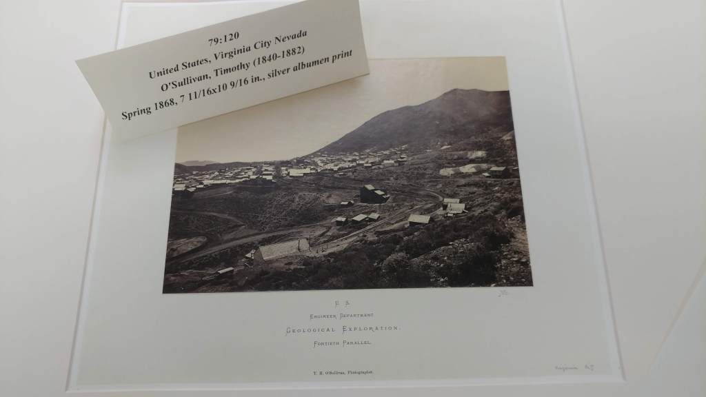
A group of educators are coming in for a scheduled tour giving us a great chance to see some of these beautiful photographs.
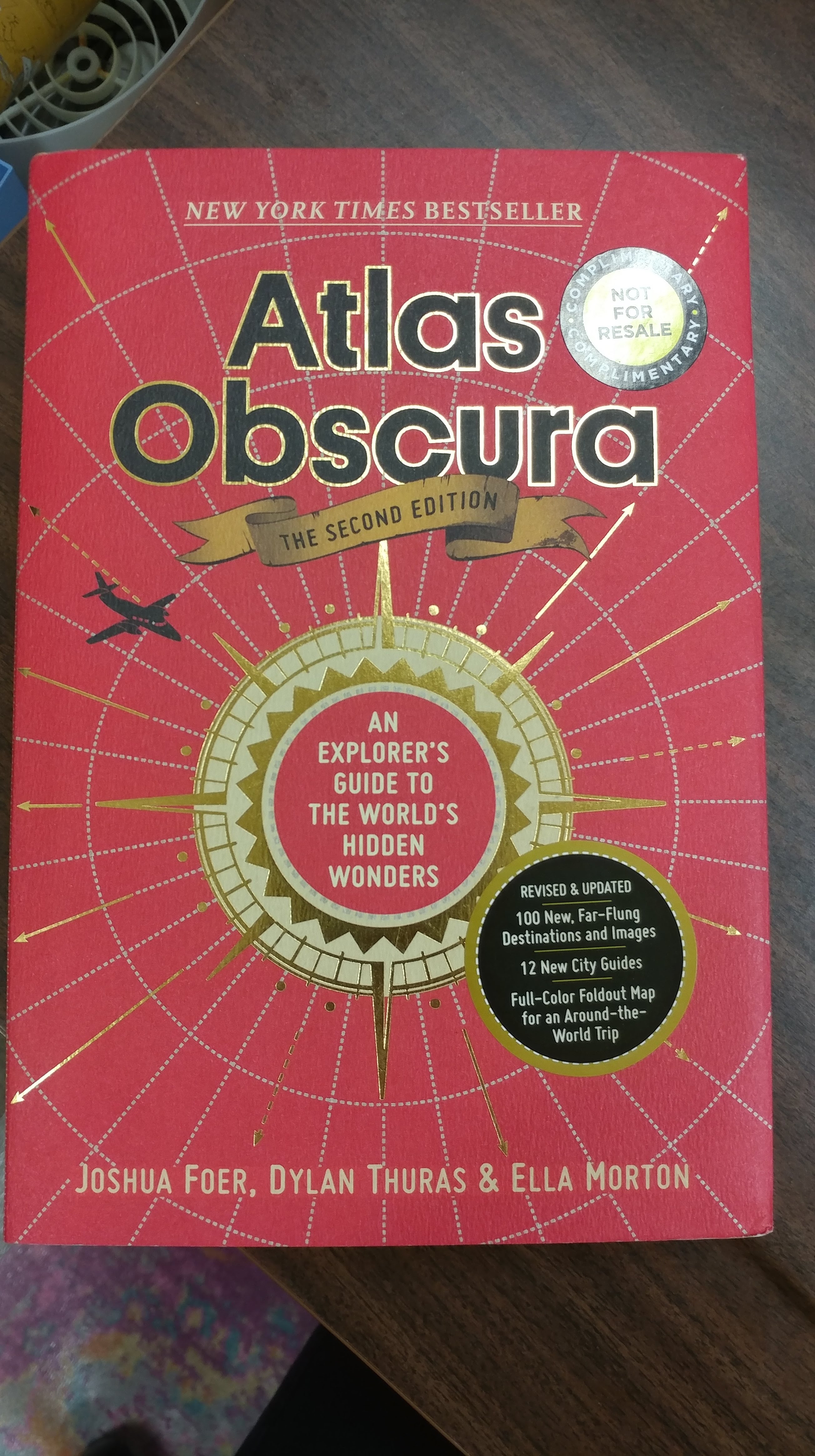
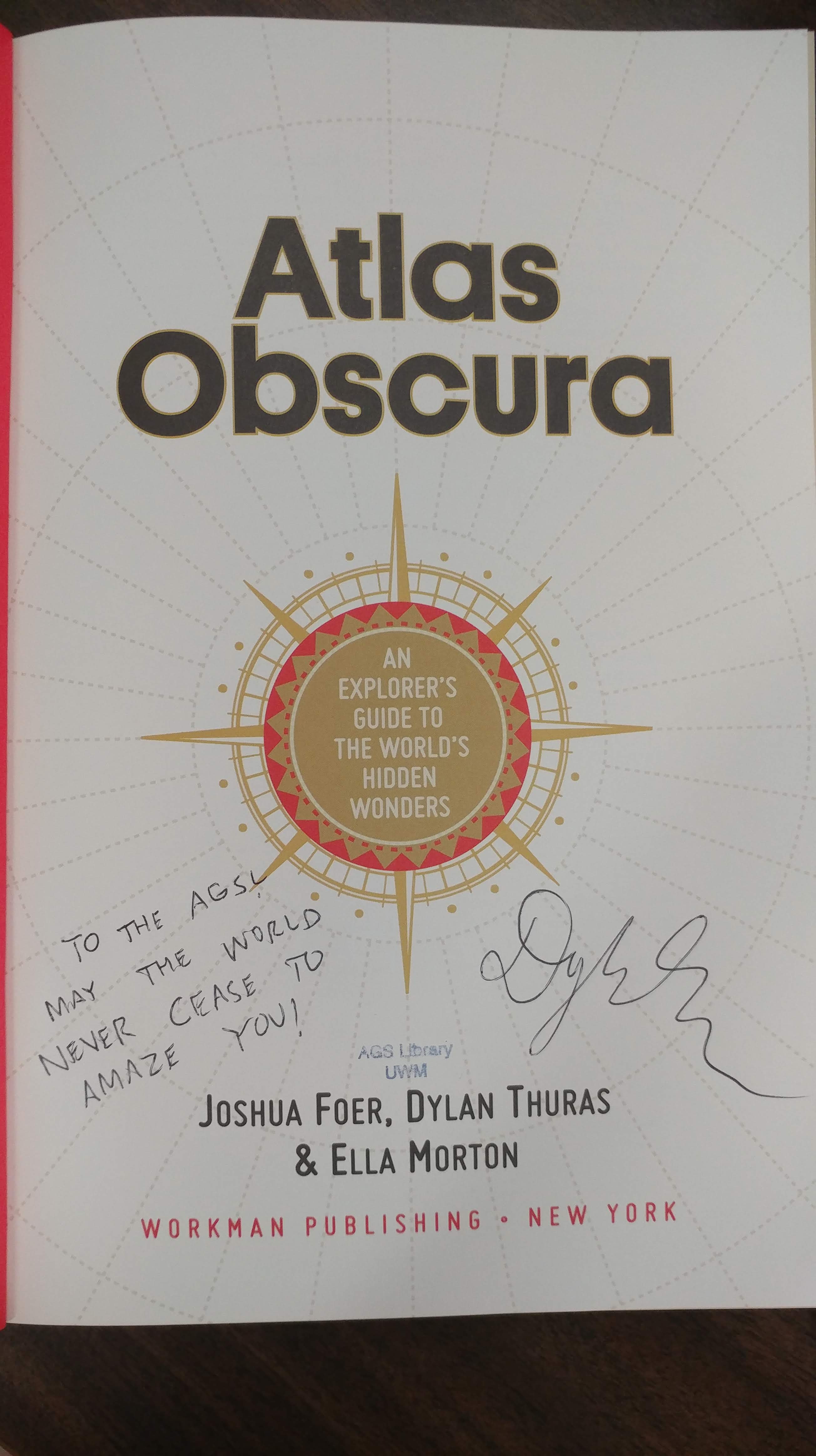
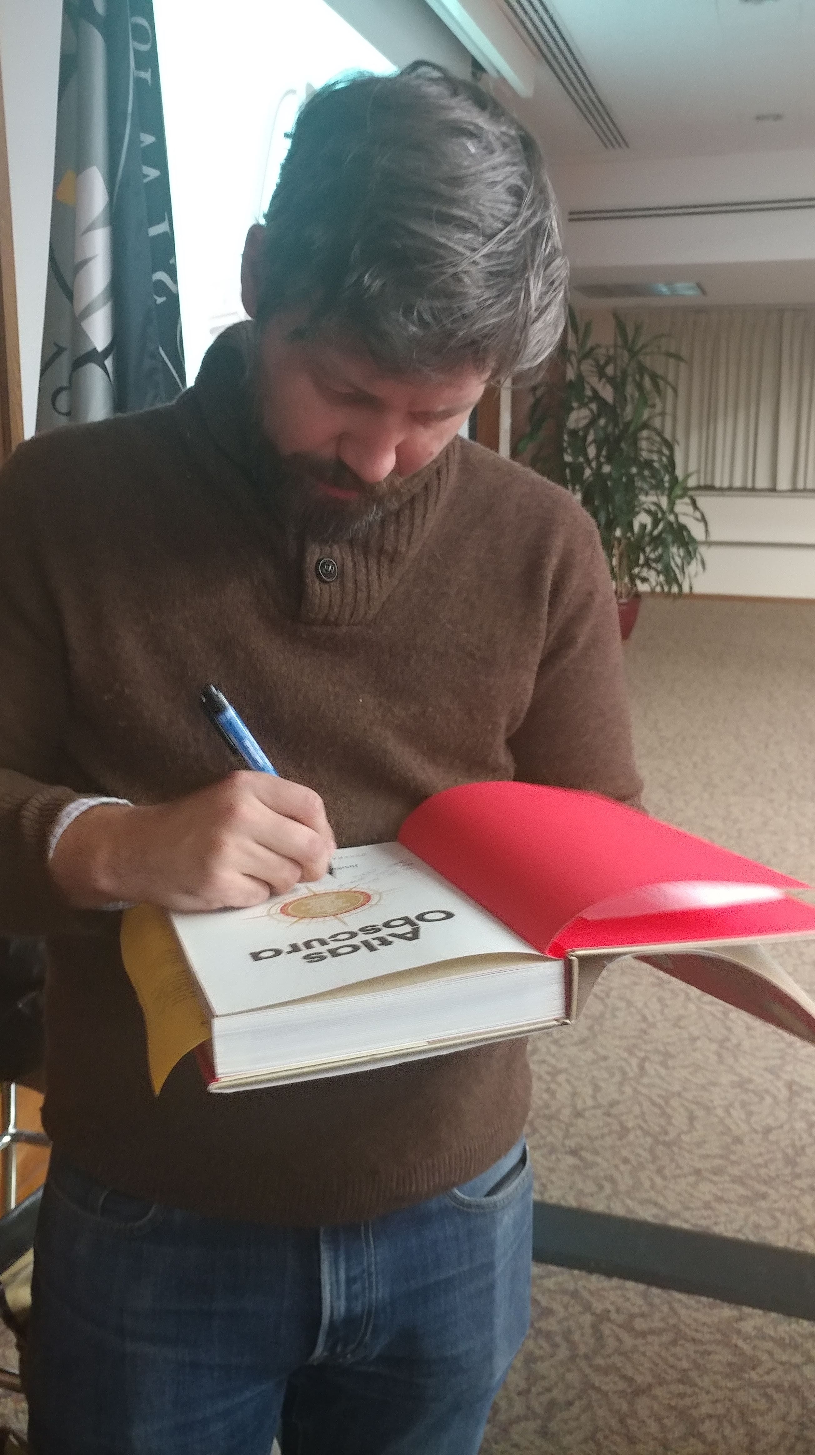
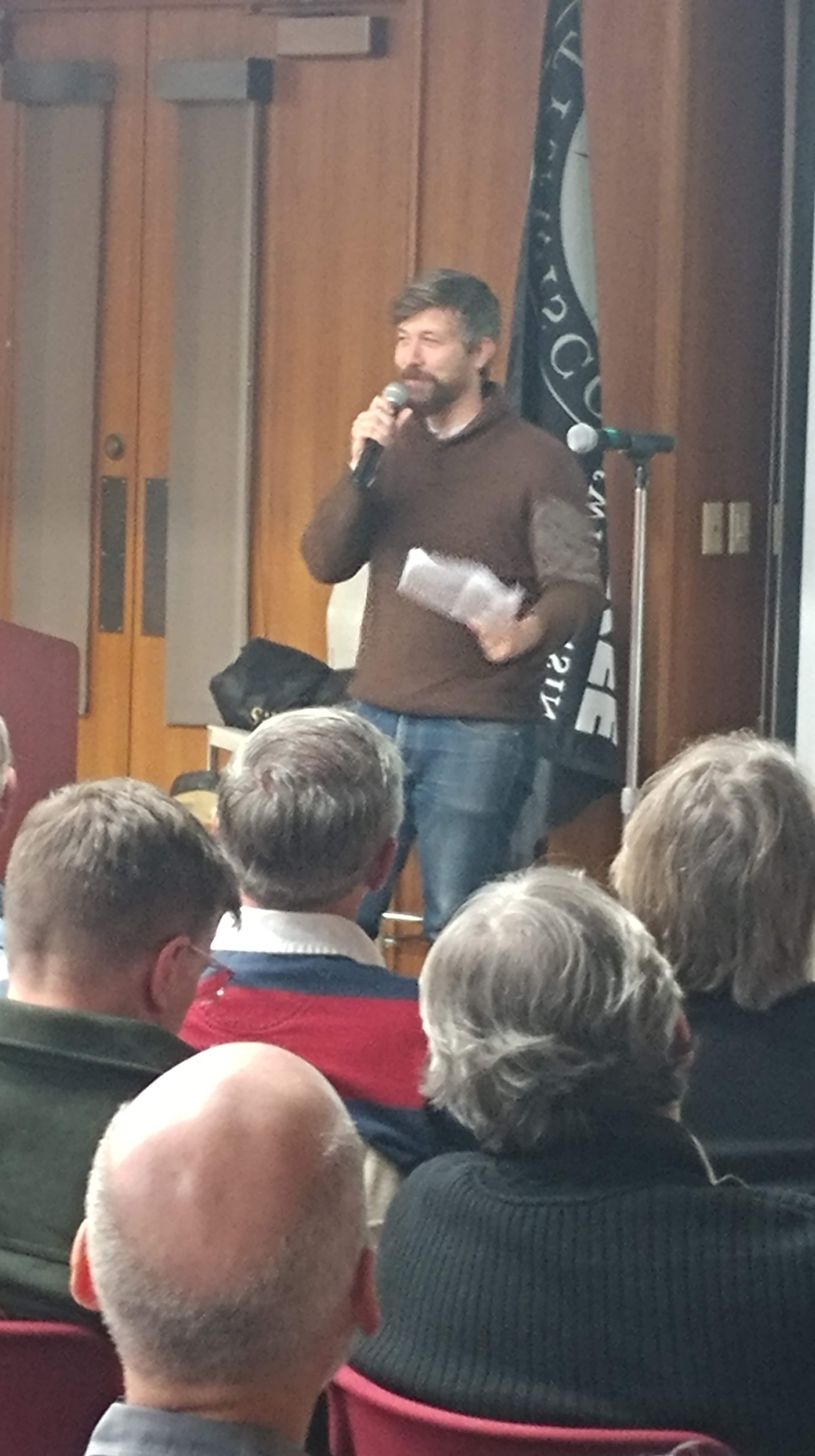
Trivia Night with Dylan Thuras
By Lauren Maddox
Last night, the AGSL hosted a book talk with Atlas Obscura co-found and co-author Dylan Thuras. Well, the AGSL was supposed to host– the event was so popular that it had to be moved to a conference room to accommodate everyone who wanted to attend.
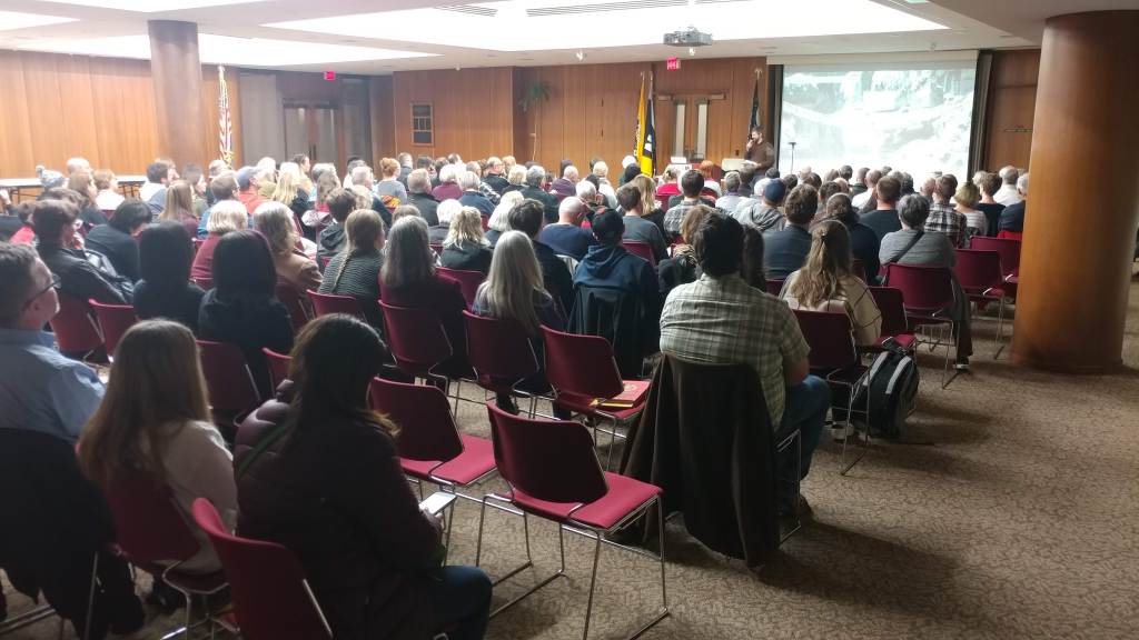
The talk was disguised a trivia night– and yes, the AGSL staff did have their own team. Thank you so much to Dylan Thuras for celebrating the new edition of Atlas Obscura with us and to Boswell Books for making this event possible!
For those of you who couldn’t join us last night, here are some snapshots:
Mapping Fantasy Land: Karen Wynn Fonstad
By Lauren Maddox
J.R.R. Tolkien’s stories pushed fantasy into the mainstream and have passed through the hands of generations of eager fantasy readers. The genre was forever different after The Lord of the Rings— and people still love Tolkein’s works!
Part of the allure of fantasy for many readers is the chance to escape to another, fully-formed world. This is one of the reasons that speculative fiction has become such a thriving genre and why games like Dungeons and Dragons are now more popular than ever– not just because of Stranger Things.
But when you construct an immersive world that people want to become a part of, you have to answer a lot of practical questions about the layout of your world. You are tasked with mapping a place that doesn’t physically exist.
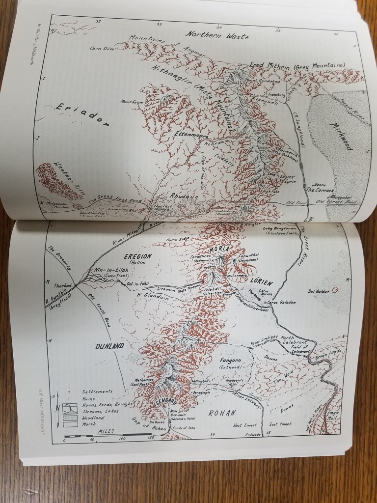
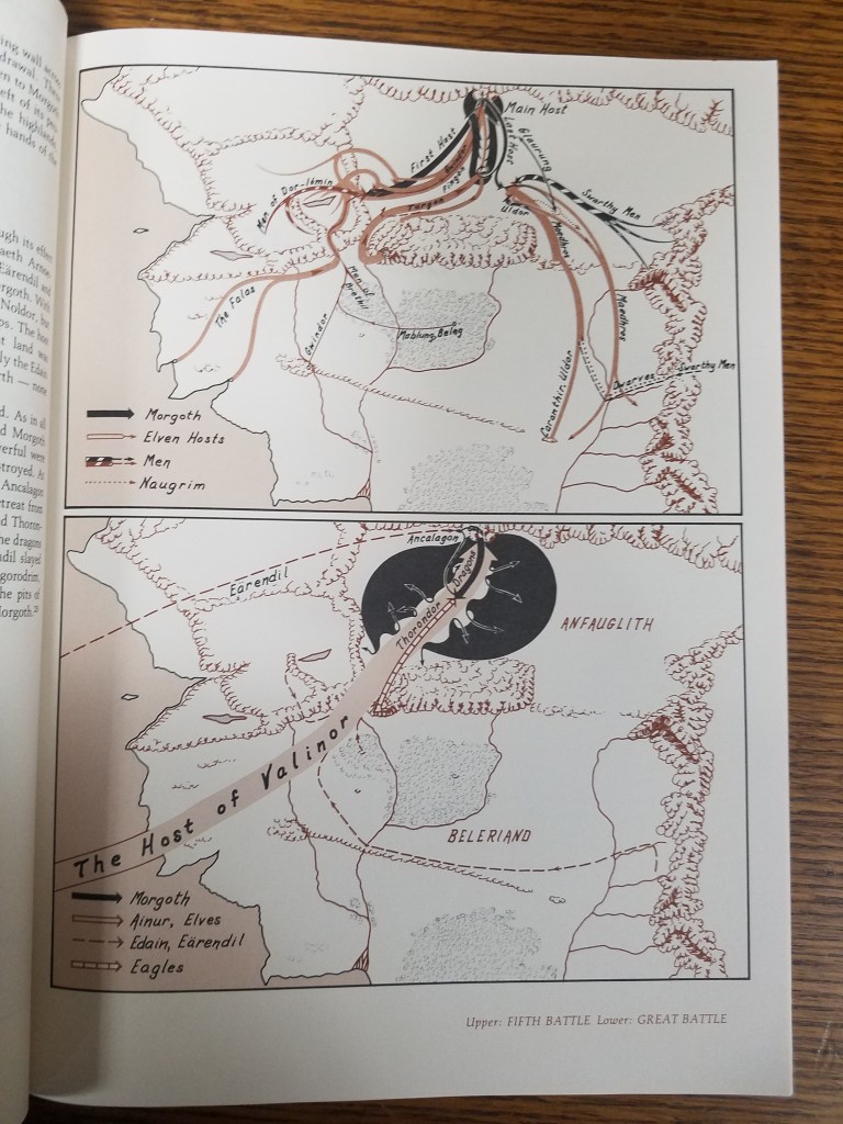
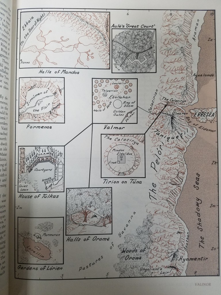
Worry not, fantasy fan! It’s not an impossible job to map fantasy land– and it was job beautifully done by one of the University of Wisconsin’s own: Karen Wynn Fonstad.
Fonstad received her MA in Geography with a specialization in Cartography from the University of Oklahoma. She went on to become the Director of Cartographic Services at UW-Oshkosh and was heavily involved with Oshkosh’s city planning. In 1970, she stepped down from her position as Director in order to raise her two children. But during this time she worked on several exciting fantasy atlases: The Atlas of Middle Earth, The Atlas of Pern, The Atlas of the Land, The Atlas of the Forgotten Realms, and The Atlas of the Dragonlance World. Fans might recognize some of those names from Tolkien, D&D, Anne McCaffrey’s science fiction and others. Fonstad’s work meant a lot to fans of those worlds, who felt like the atlases were a way to connect to the worlds they loved so much.
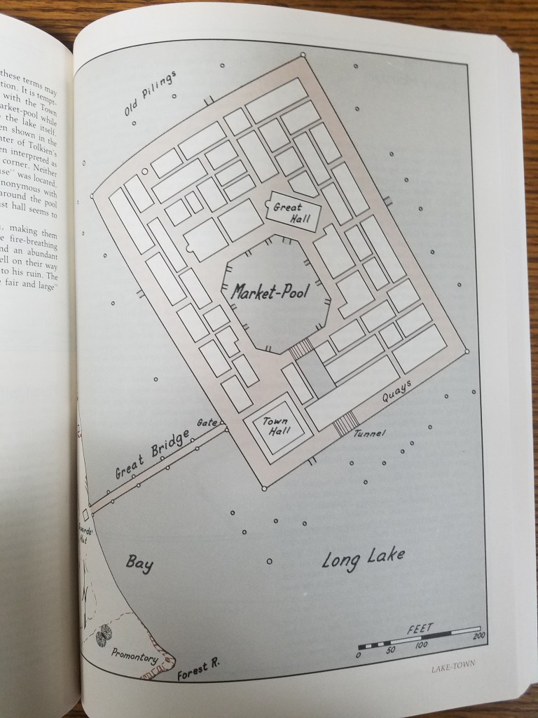
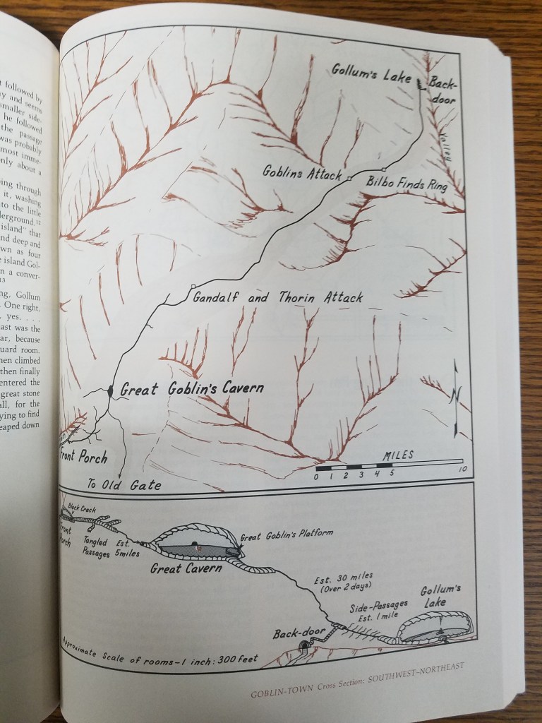
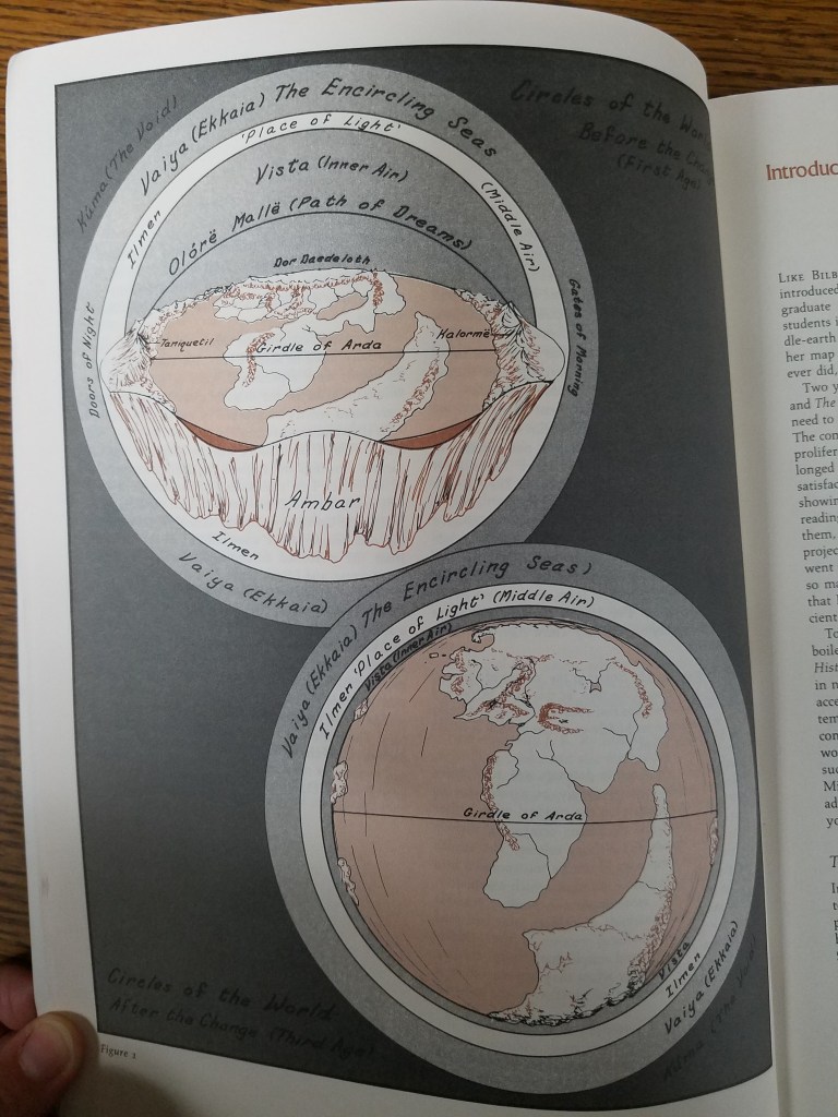
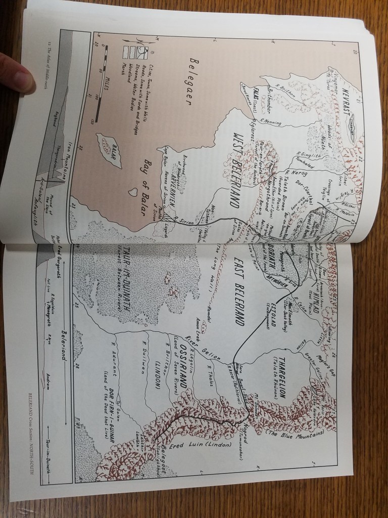
Fonstad passed away in 2005, but her work continues on in the hearts of those who were touched by her dedication to mapping fantasy lands. In the AGSL there are multiple atlases by Fonstad including her revised Atlas of Middle Earth, from which selections throughout this post were taken.
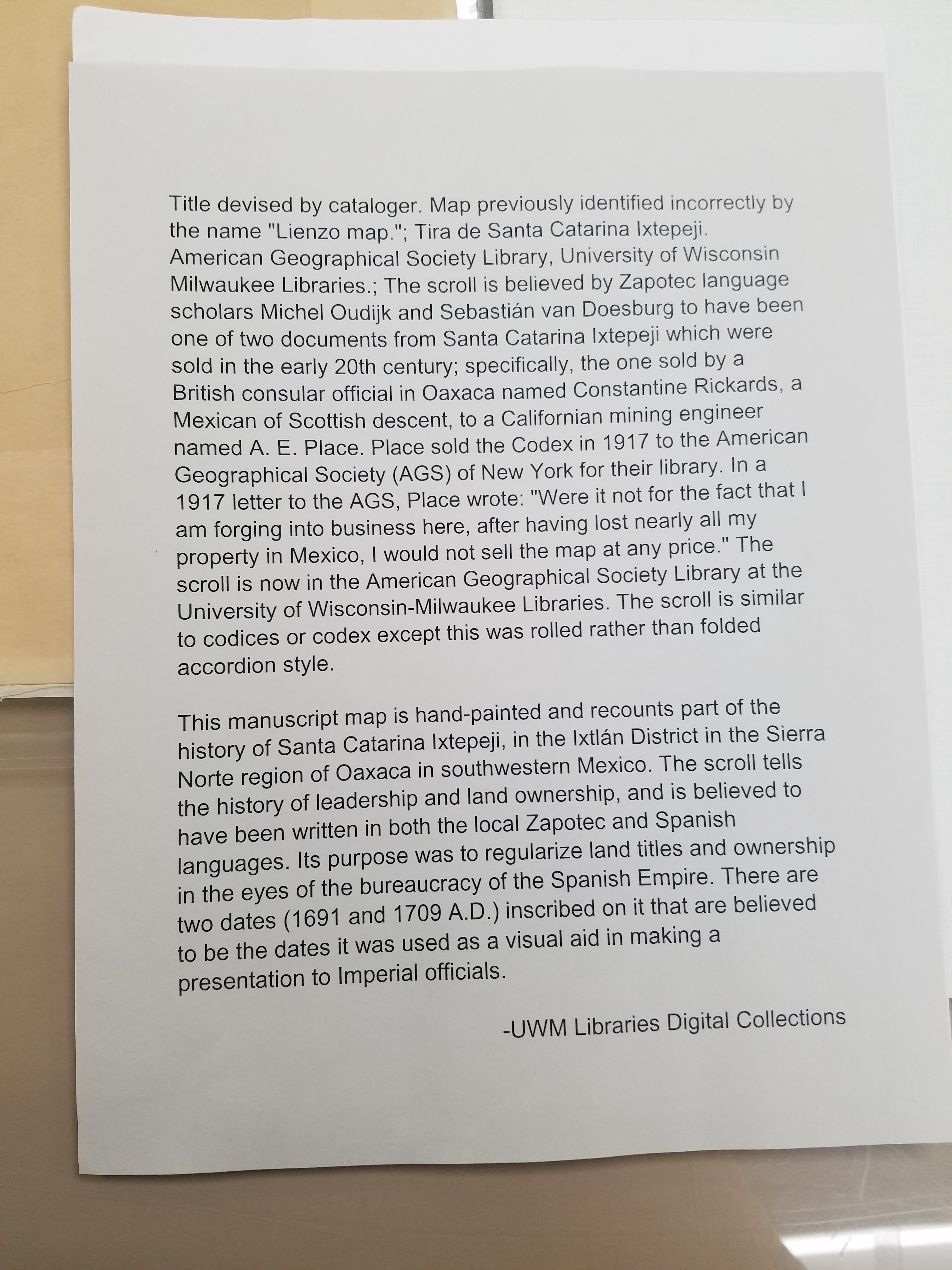
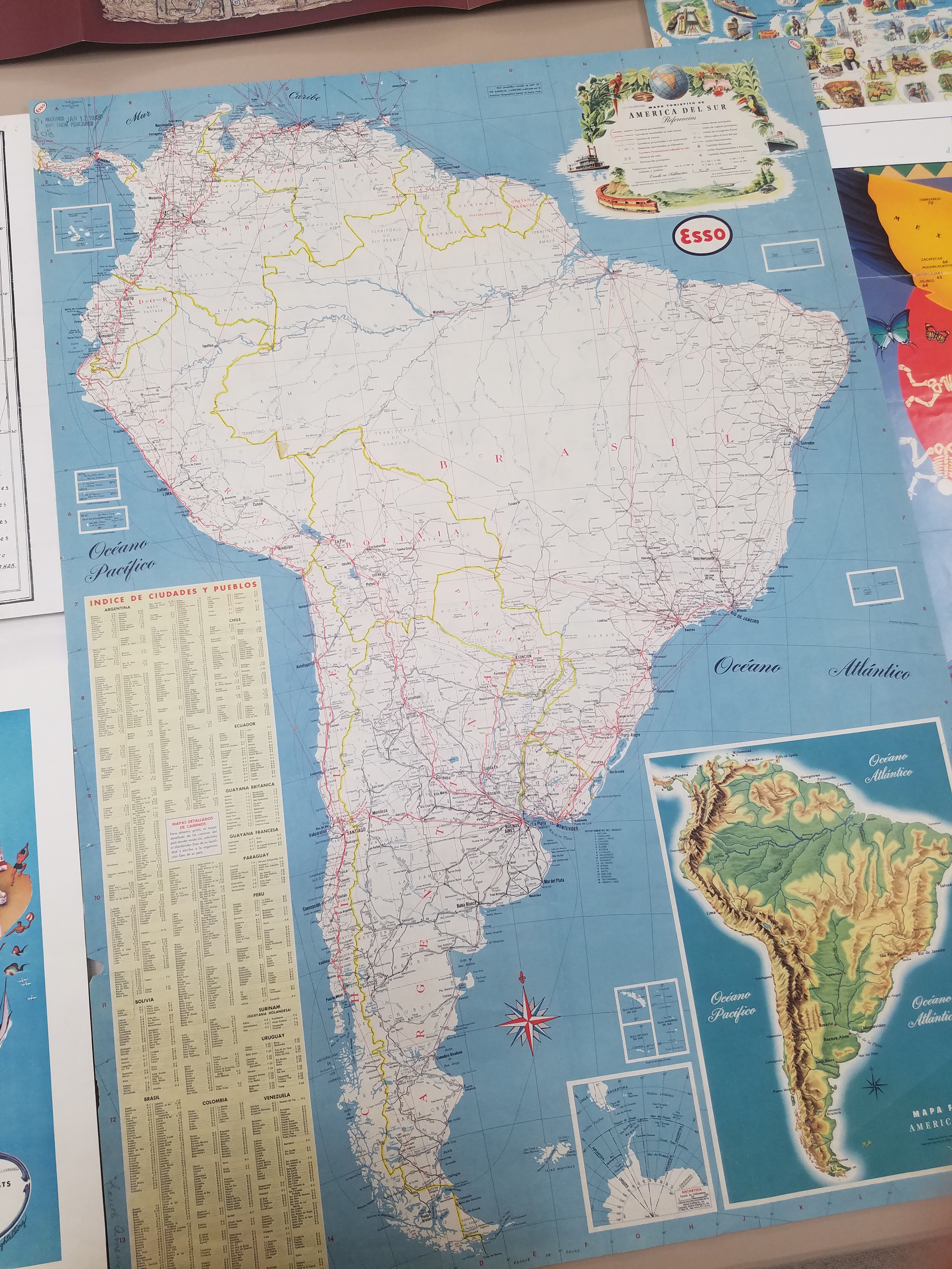
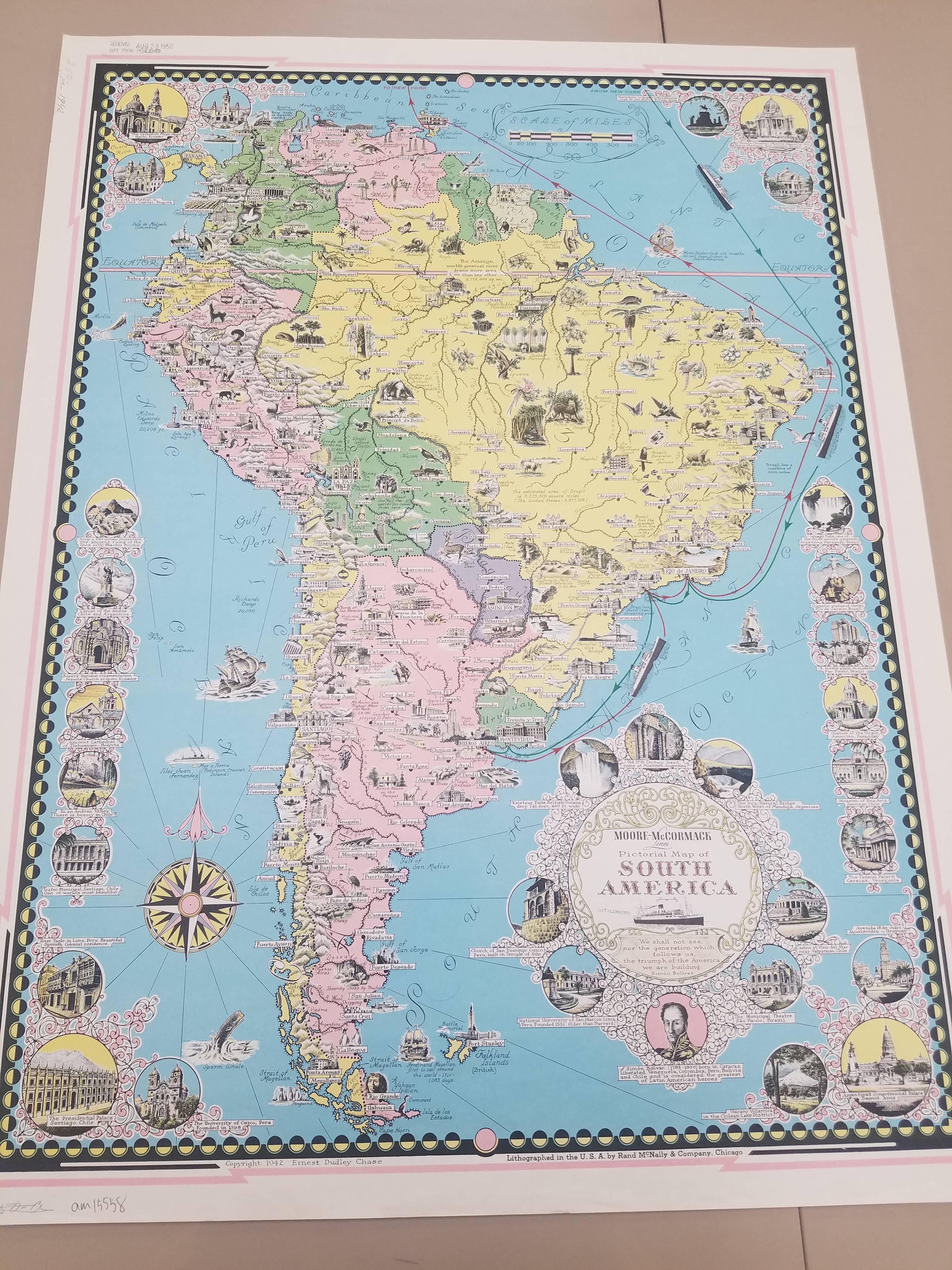
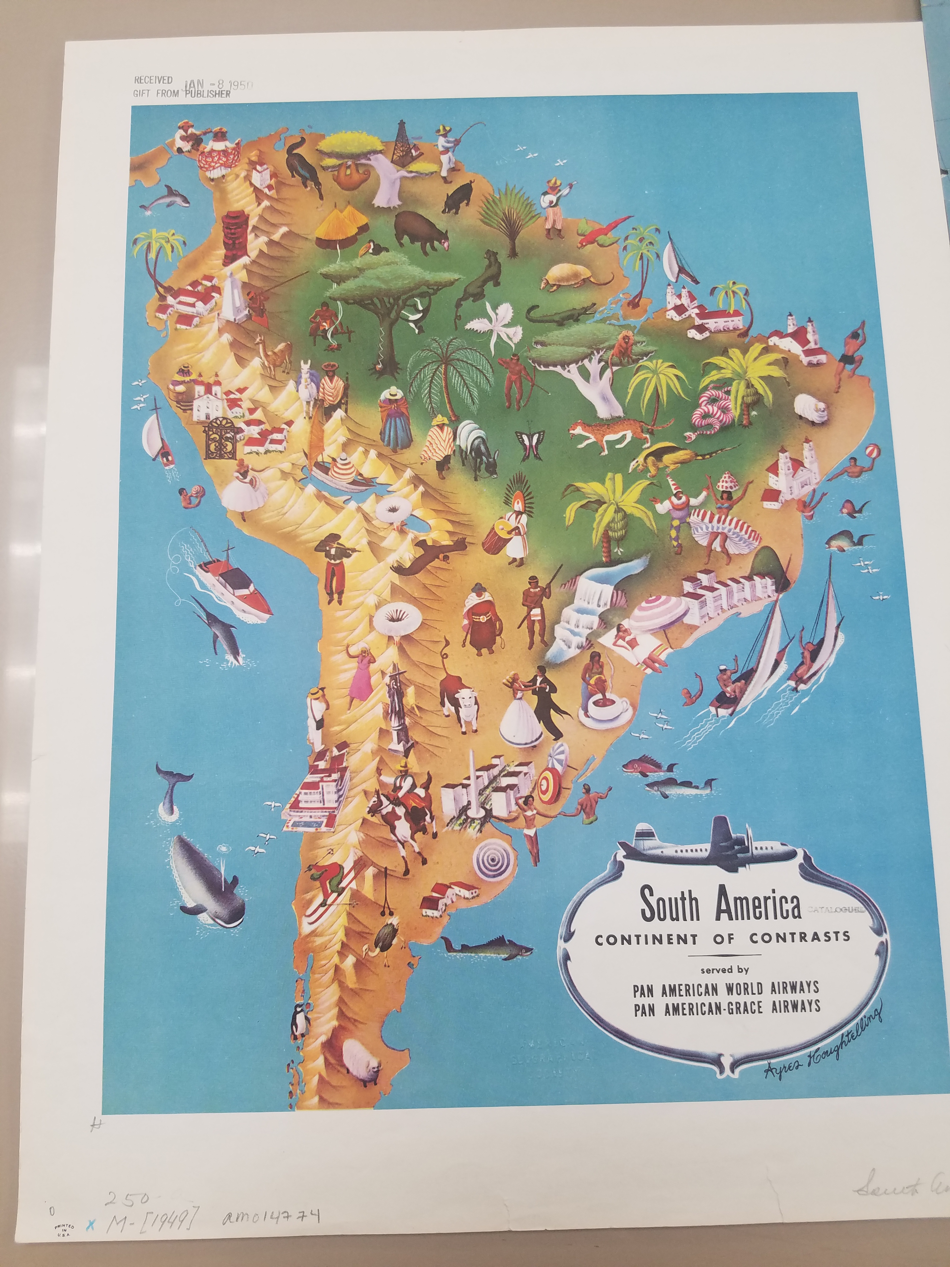
In Case You Missed Us: The National Hispanic Heritage Month Pop-Up Exhibit
By Lauren Maddox
Last month, I wrote about our then-upcoming Pop-Up Exhibit in celebration of National Hispanic Heritage Month. The exhibit was a collaborative project in conjunction with the UWM Archives to showcase some of our collections and honor this very special month. As we move into October, we will be putting up another exciting exhibit (stay tuned for more on that later!), but in case you missed this pop-up, here are some of the digital versions of pieces we featured in the exhibit:
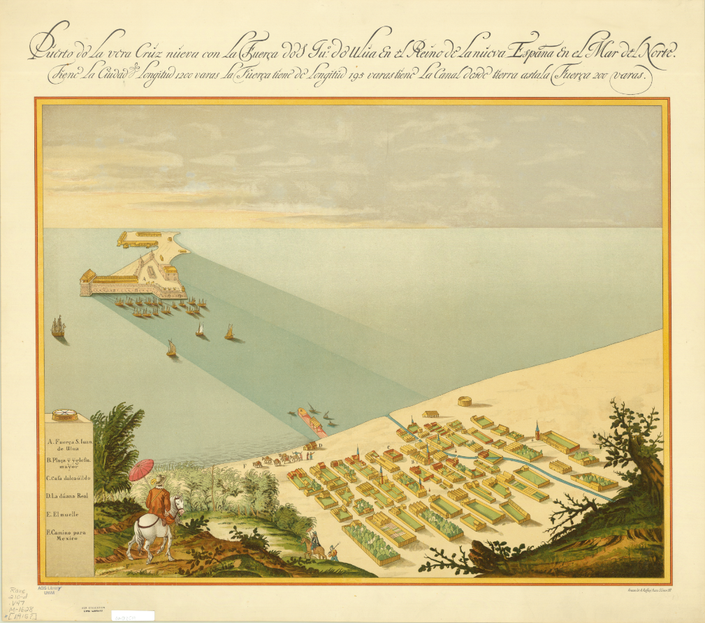
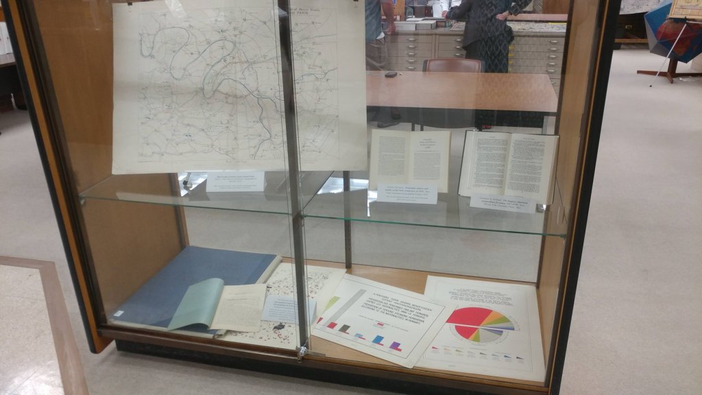
Map of San Juan Ulua Island in 1628. 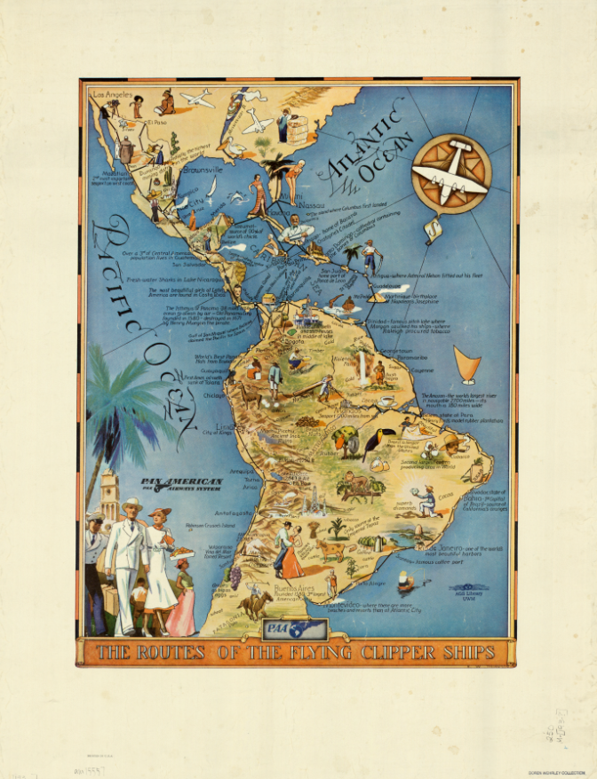
“The Routes of the Flying Clipper Ships,” 1930s. Click the links to see these maps in our Digital Collections! 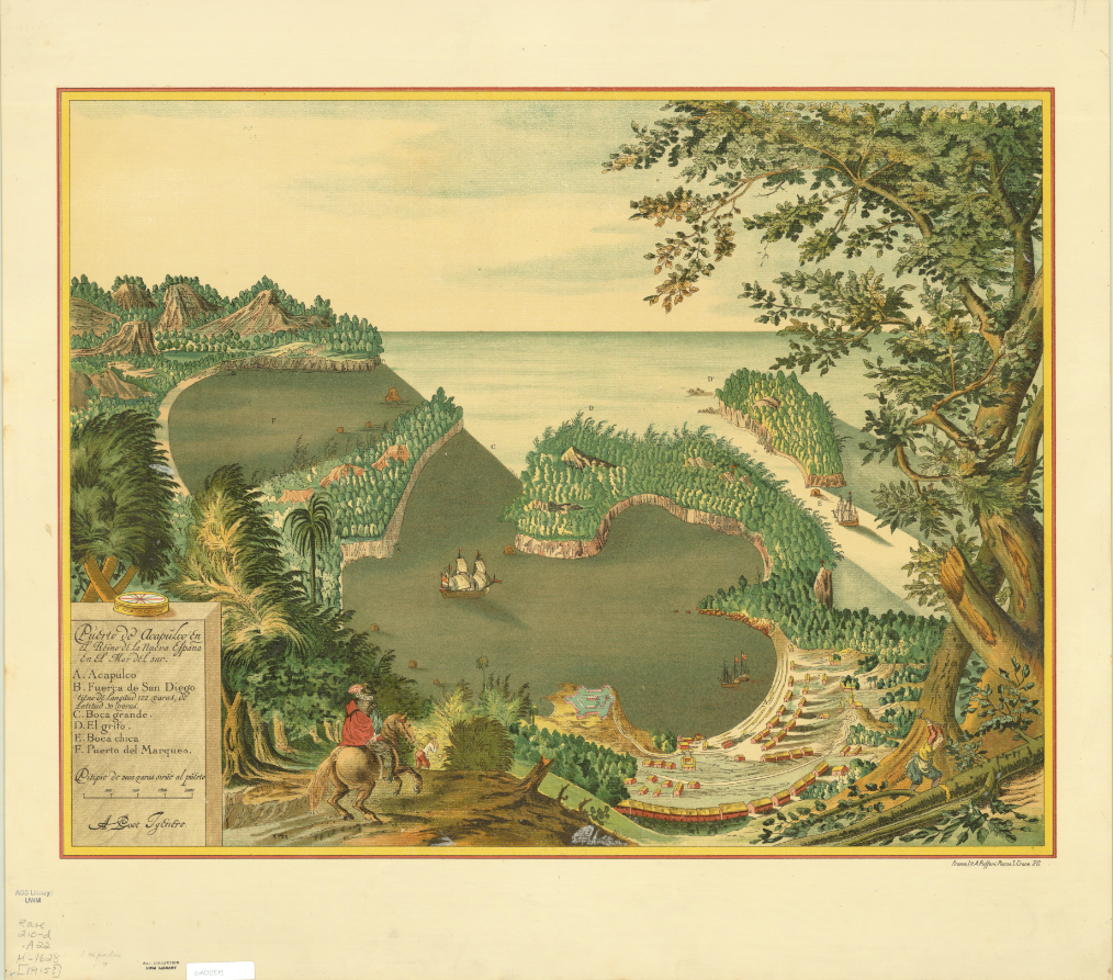
Map of San Juan Ulua Island in 1628. 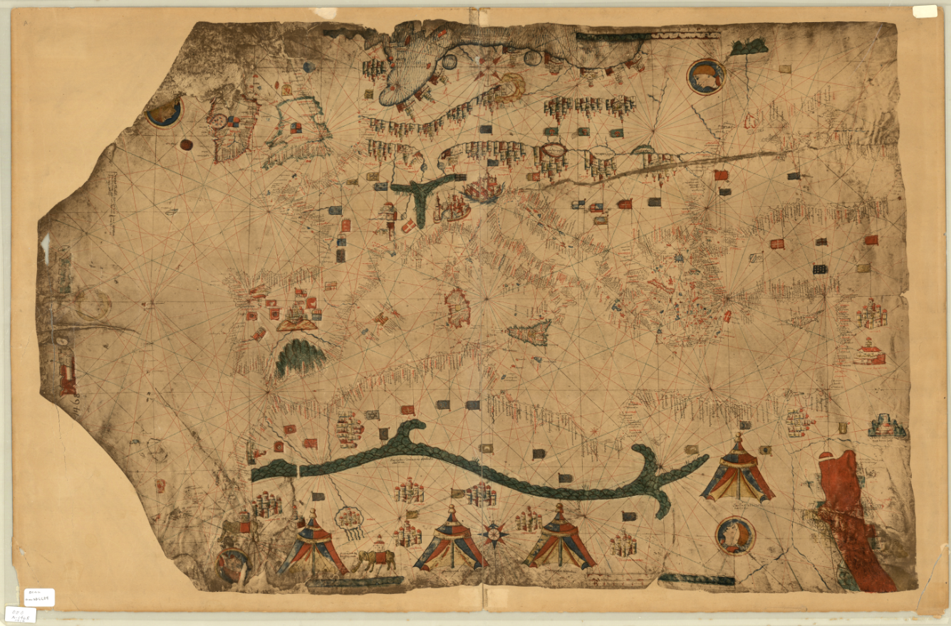
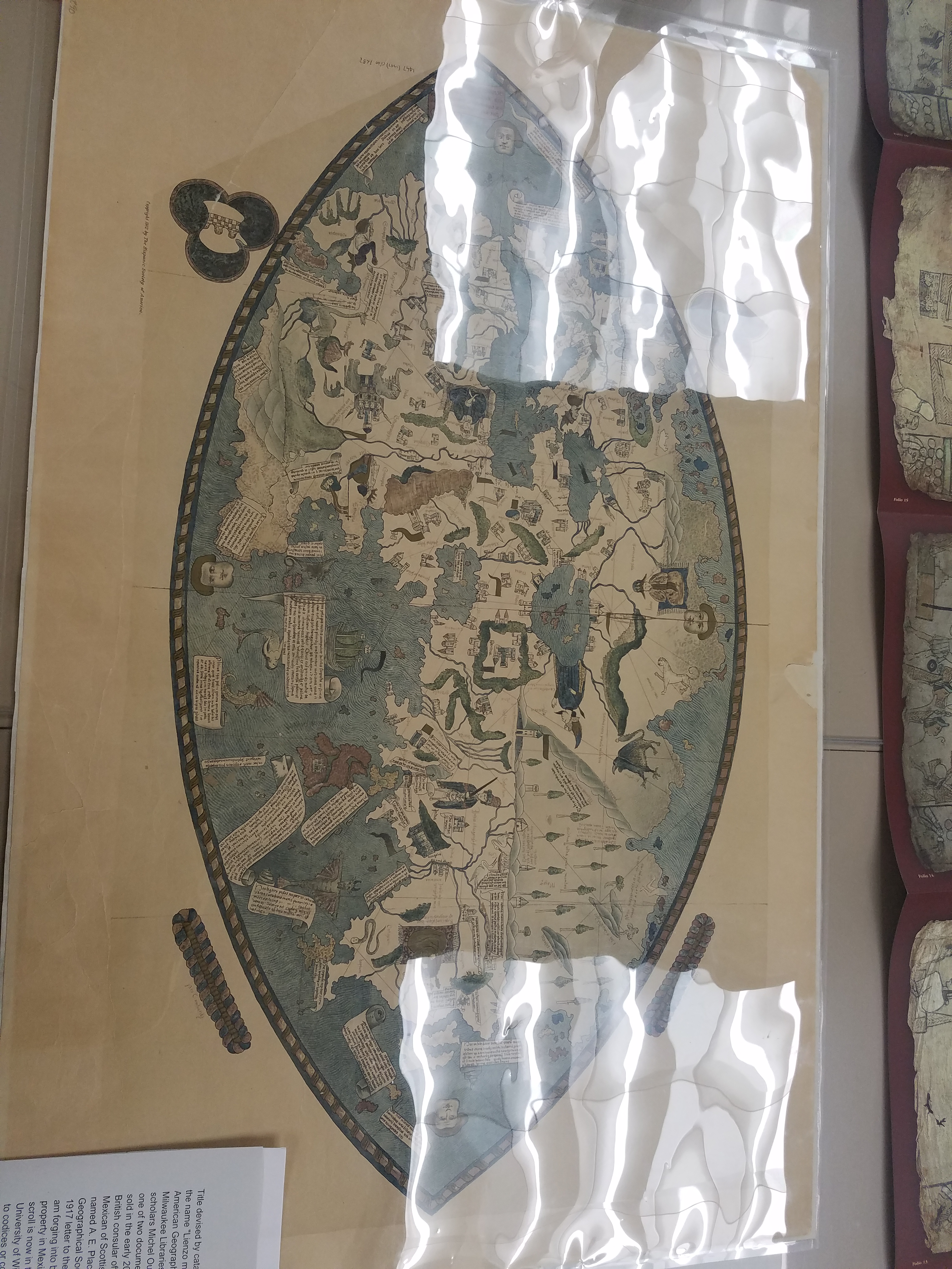
Fascimile of 1468 World Map, previously owned by the Hispanic Society of America.
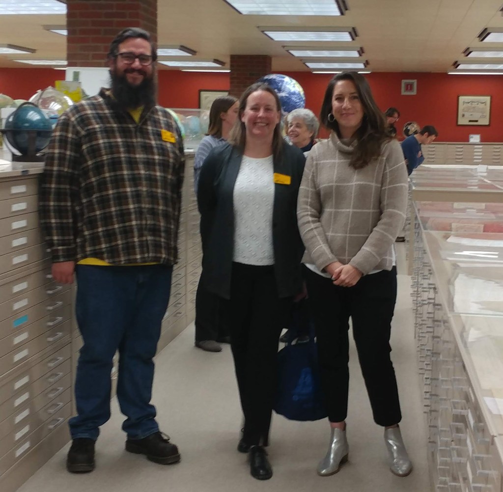
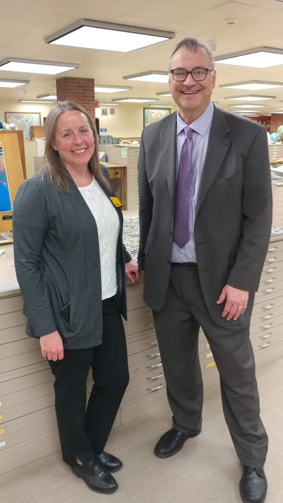
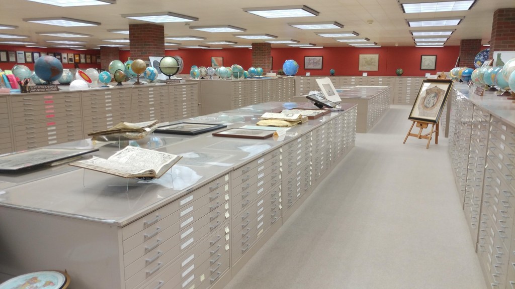
And some photos of the exhibit live and in-person:
Stay tuned for more updates about future exhibits!
